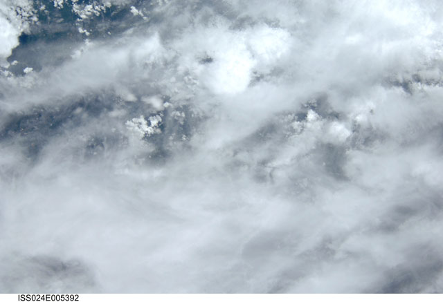
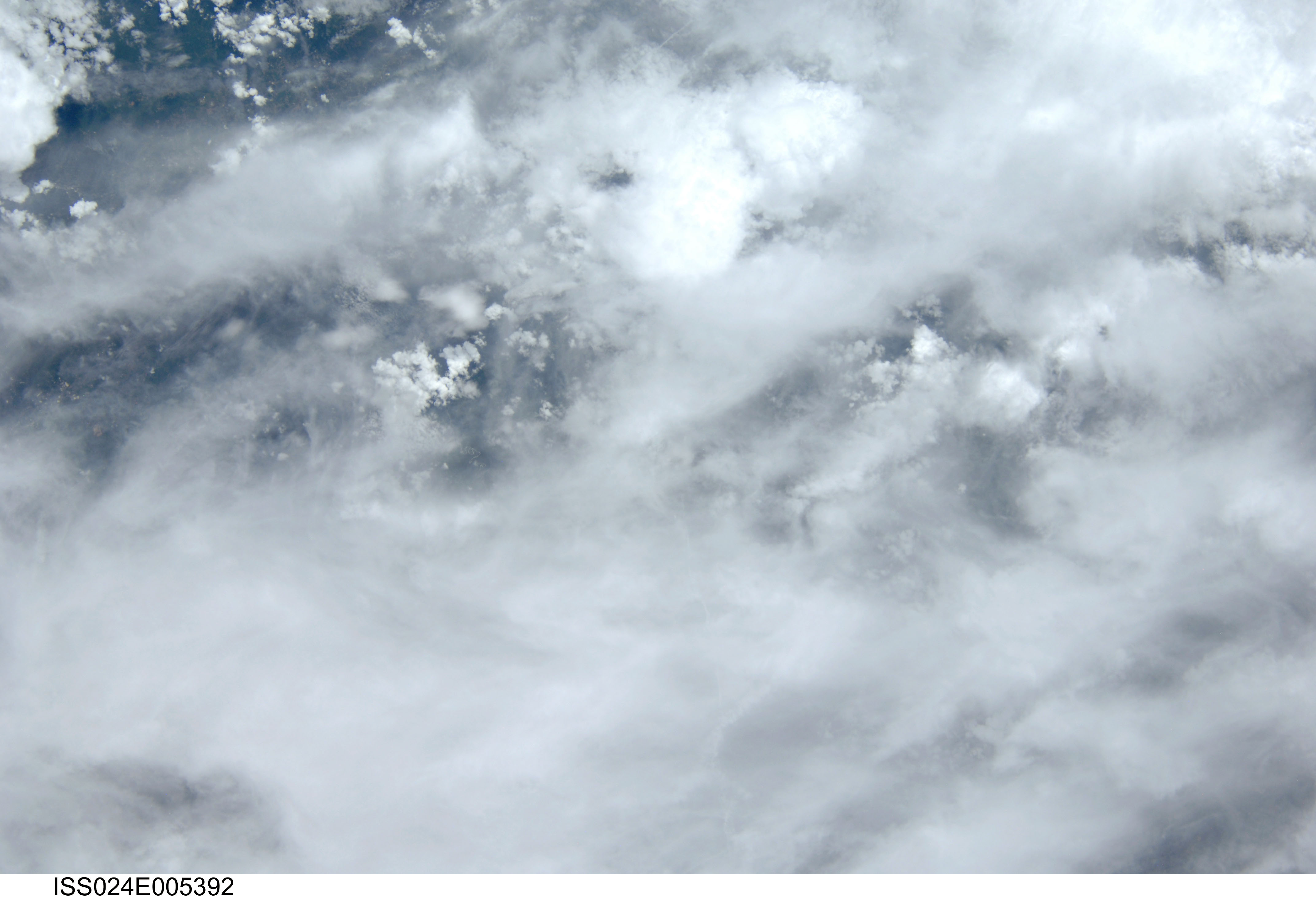
ISS024-E-5392
| NASA Photo ID | ISS024-E-5392 |
| Focal Length | 80mm |
| Date taken | 2010.06.04 |
| Time taken | 17:48:50 GMT |

Spacecraft nadir point: 36.6° N, 81.8° W
Photo center point:
Photo center point by machine learning:
Photo center point:
Photo center point by machine learning:
Nadir to Photo Center:
Spacecraft Altitude: 184 nautical miles (341km)
Country or Geographic Name: | USA |
Features: | MULTILAYERED OVERCAST WITH BREAKS, FOR. |
| Features Found Using Machine Learning: | |
Cloud Cover Percentage: | 100 (76-100)% |
Sun Elevation Angle: | 75° |
Sun Azimuth: | 202° |
Camera: | Nikon D2Xs Electronic Still Camera |
Focal Length: | 80mm |
Camera Tilt: | Low Oblique |
Format: | 4288E: 4288 x 2848 pixel CMOS sensor, RGBG imager color filter |
Film Exposure: | |
| Additional Information | |
| Width | Height | Annotated | Cropped | Purpose | Links |
|---|---|---|---|---|---|
| 4288 pixels | 2929 pixels | No | No | Download Image | |
| 640 pixels | 437 pixels | No | No | Download Image |
Download Packaged File
Download a Google Earth KML for this Image
View photo footprint information
Download a GeoTIFF for this photo
Image Caption: none
