ISS023-E-48997

| NASA Photo ID | ISS023-E-48997 |
| Focal Length | 800mm |
| Date taken | 2010.05.20 |
| Time taken | 12:00:01 GMT |
Cloud masks available for this image:
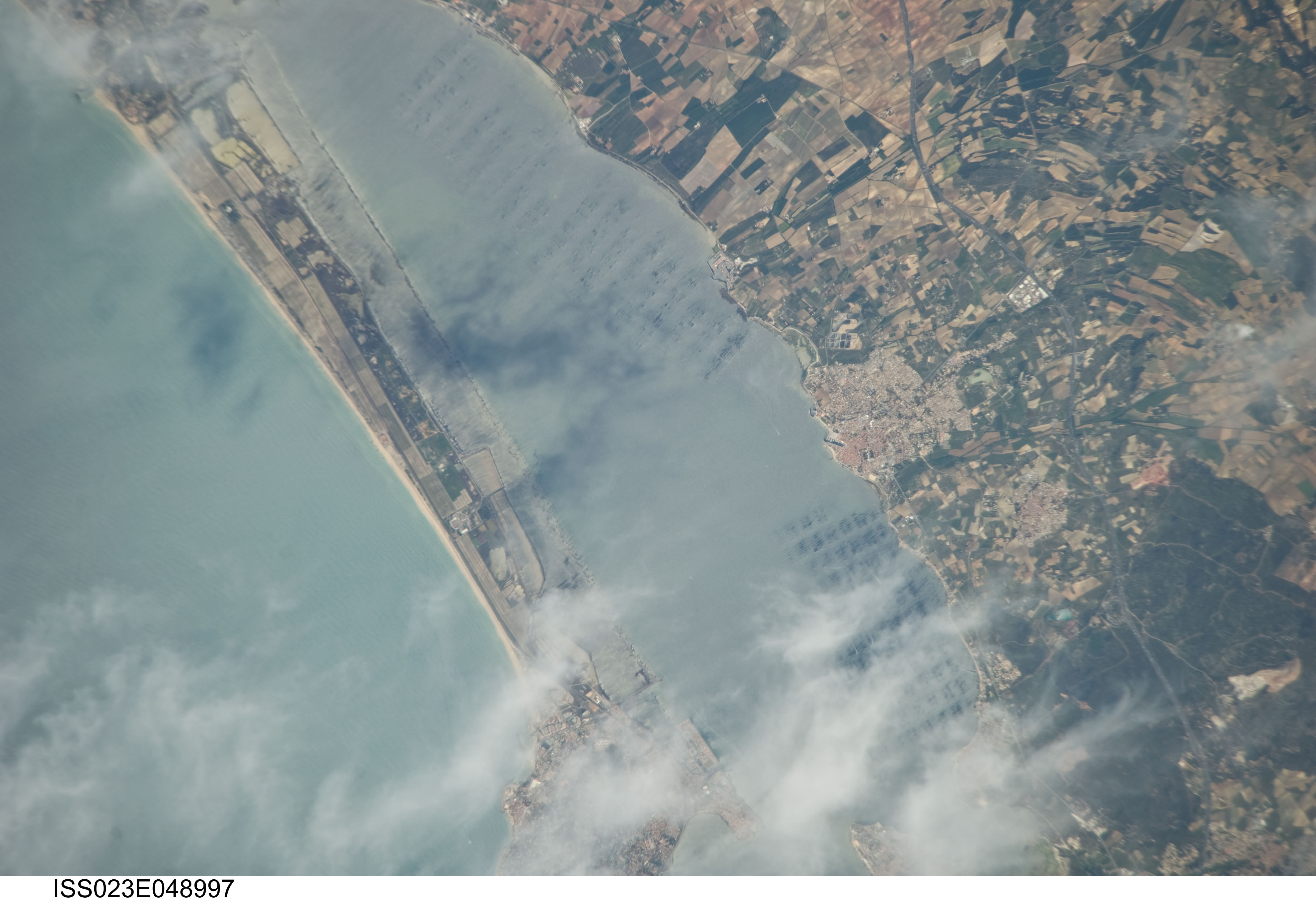
Spacecraft nadir point: 45.2° N, 7.0° E
Photo center point: 43.4° N, 3.6° E
Photo center point by machine learning: 43.40° N, 3.61° E
Photo center point: 43.4° N, 3.6° E
Photo center point by machine learning: 43.40° N, 3.61° E
Nadir to Photo Center: Southwest
Spacecraft Altitude: 184 nautical miles (341km)

Camera: | Nikon D3S Electronic Still Camera |
Focal Length: | 800mm |
Camera Tilt: | 51 degrees |
Format: | 4256E: 4256 x 2832 pixel CMOS sensor, 36.0mm x 23.9mm, total pixels: 12.87 million, Nikon FX format |
Film Exposure: | |
| Additional Information | |
| Width | Height | Annotated | Cropped | Purpose | Links |
|---|---|---|---|---|---|
| 4256 pixels | 2913 pixels | No | No | Download Image | |
| 640 pixels | 438 pixels | No | No | Download Image |
Download Packaged File
Download a Google Earth KML for this Image
View photo footprint information
Download a GeoTIFF for this photo
Image Caption: none
