ISS023-E-17542
| NASA Photo ID | ISS023-E-17542 |
| Focal Length | 180mm |
| Date taken | 2010.04.01 |
| Time taken | 12:07:11 GMT |

Cloud masks available for this image:
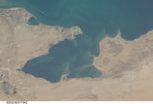
Spacecraft nadir point: 26.3° N, 49.8° E
Photo center point: 26.1° N, 50.1° E
Photo center point by machine learning:
Photo center point: 26.1° N, 50.1° E
Photo center point by machine learning:
Nadir to Photo Center: Southeast
Spacecraft Altitude: 184 nautical miles (341km)
Country or Geographic Name: | SAUDI ARABIA |
Features: | AL AZIZIYAH, BAY, COASTLINE, DESERT |
| Features Found Using Machine Learning: | |
Cloud Cover Percentage: | 10 (1-10)% |
Sun Elevation Angle: | 37° |
Sun Azimuth: | 255° |
Camera: | Nikon D2Xs Electronic Still Camera |
Focal Length: | 180mm |
Camera Tilt: | 7 degrees |
Format: | 4288E: 4288 x 2848 pixel CMOS sensor, RGBG imager color filter |
Film Exposure: | |
| Additional Information | |
| Width | Height | Annotated | Cropped | Purpose | Links |
|---|---|---|---|---|---|
| 4288 pixels | 2929 pixels | No | No | Download Image | |
| 640 pixels | 437 pixels | No | No | Download Image |
Download Packaged File
Download a Google Earth KML for this Image
View photo footprint information
Download a GeoTIFF for this photo
Image Caption: 091 Various yet another attempt at Bruckberg 248
