ISS022-E-20938

| NASA Photo ID | ISS022-E-20938 |
| Focal Length | 25mm |
| Date taken | 2010.01.09 |
| Time taken | 09:04:42 GMT |
Cloud masks available for this image:
Spacecraft nadir point: 14.7° S, 69.7° E
Photo center point: 18.5° S, 73.5° E
Photo center point by machine learning:
Photo center point: 18.5° S, 73.5° E
Photo center point by machine learning:
Nadir to Photo Center: Southeast
Spacecraft Altitude: 187 nautical miles (346km)
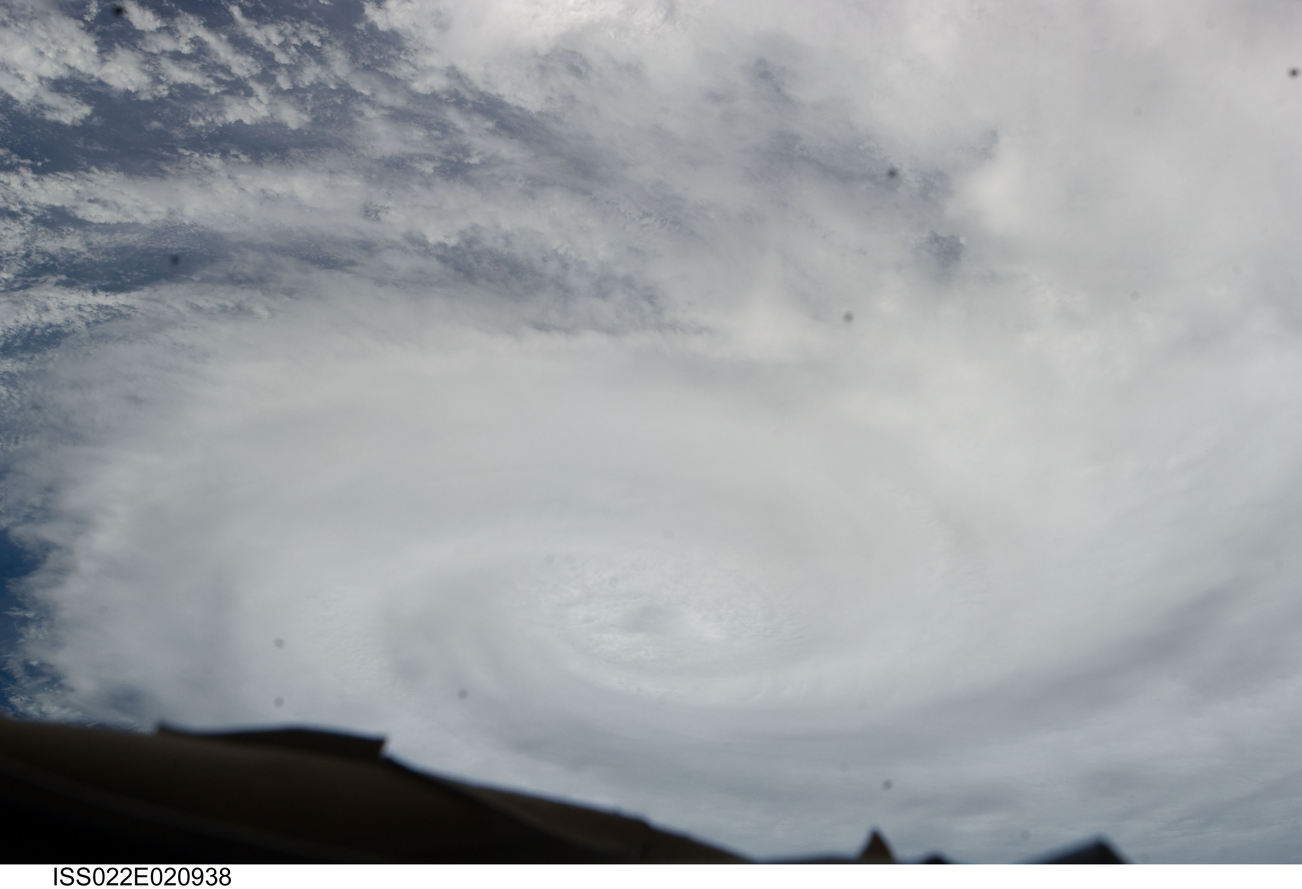
Country or Geographic Name: | INDIAN OCEAN |
Features: | TROPICAL CYCLONE EDZANI, BANDS, ISS |
| Features Found Using Machine Learning: | |
Cloud Cover Percentage: | 100 (76-100)% |
Sun Elevation Angle: | 66° |
Sun Azimuth: | 248° |
Camera: | Nikon D2Xs Electronic Still Camera |
Focal Length: | 25mm |
Camera Tilt: | High Oblique |
Format: | 4288E: 4288 x 2848 pixel CMOS sensor, RGBG imager color filter |
Film Exposure: | |
| Additional Information | |
| Width | Height | Annotated | Cropped | Purpose | Links |
|---|---|---|---|---|---|
| 4288 pixels | 2929 pixels | No | No | Download Image | |
| 640 pixels | 437 pixels | No | No | Download Image |
Download Packaged File
Download a Google Earth KML for this Image
View photo footprint information
Download a GeoTIFF for this photo
Image Caption: none
