ISS020-E-8331
| NASA Photo ID | ISS020-E-8331 |
| Focal Length | 400mm |
| Date taken | 2009.06.10 |
| Time taken | 12:26:28 GMT |

Cloud masks available for this image:
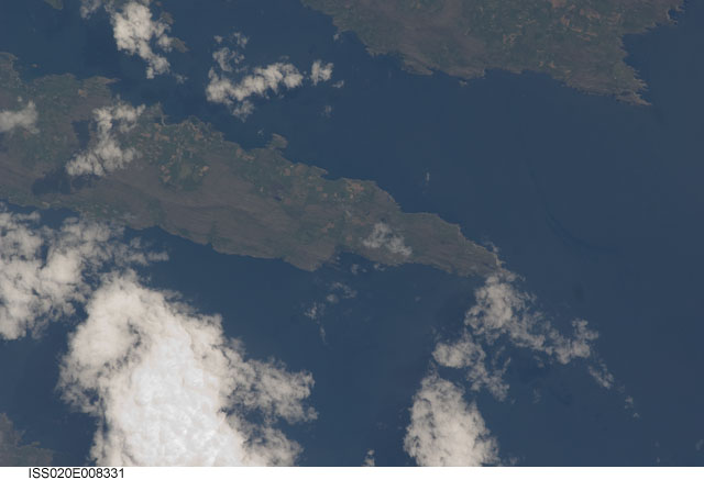
Spacecraft nadir point: 51.6° N, 8.2° W
Photo center point: 51.6° N, 9.8° W
Photo center point by machine learning:
Photo center point: 51.6° N, 9.8° W
Photo center point by machine learning:
Nadir to Photo Center: West
Spacecraft Altitude: 181 nautical miles (335km)
Country or Geographic Name: | IRELAND |
Features: | BANTRY BAY, SHEEP'S HEAD PENINSULA |
| Features Found Using Machine Learning: | |
Cloud Cover Percentage: | 50 (26-50)% |
Sun Elevation Angle: | 62° |
Sun Azimuth: | 177° |
Camera: | Nikon D2Xs Electronic Still Camera |
Focal Length: | 400mm |
Camera Tilt: | 28 degrees |
Format: | 4288E: 4288 x 2848 pixel CMOS sensor, RGBG imager color filter |
Film Exposure: | |
| Additional Information | |
| Width | Height | Annotated | Cropped | Purpose | Links |
|---|---|---|---|---|---|
| 3072 pixels | 2098 pixels | No | No | Download Image | |
| 640 pixels | 437 pixels | No | No | Download Image |
Download Packaged File
Download a Google Earth KML for this Image
View photo footprint information
Download a GeoTIFF for this photo
Image Caption: none
