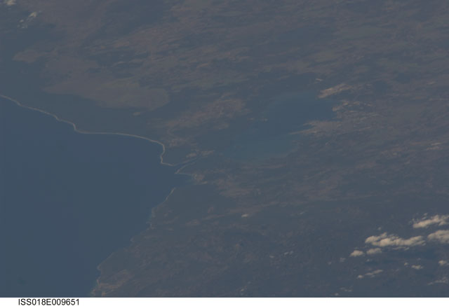
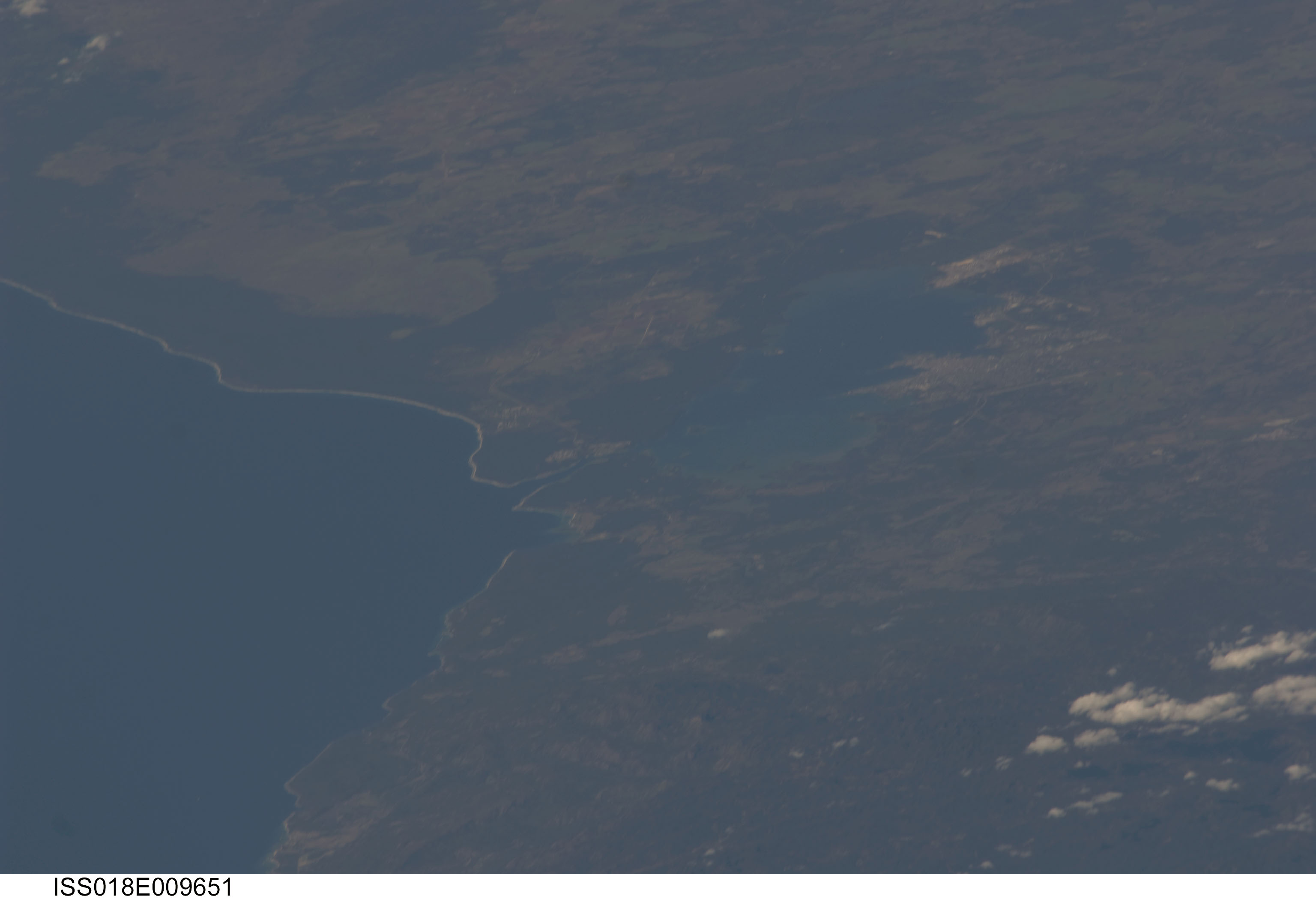
ISS018-E-9651
| NASA Photo ID | ISS018-E-9651 |
| Focal Length | 800mm |
| Date taken | 2008.11.29 |
| Time taken | 17:43:42 GMT |
Cloud masks available for this image:
Spacecraft nadir point: 17.6° N, 72.6° W
Photo center point: 22.1° N, 80.5° W
Photo center point by machine learning:
Photo center point: 22.1° N, 80.5° W
Photo center point by machine learning:
Nadir to Photo Center: Northwest
Spacecraft Altitude: 188 nautical miles (348km)
Country or Geographic Name: | CUBA |
Features: | CIENFUEGOS, FOREST, AGR., BAY |
| Features Found Using Machine Learning: | |
Cloud Cover Percentage: | 10 (1-10)% |
Sun Elevation Angle: | 48° |
Sun Azimuth: | 203° |
Camera: | Nikon D2Xs Electronic Still Camera |
Focal Length: | 800mm |
Camera Tilt: | High Oblique |
Format: | 4288E: 4288 x 2848 pixel CMOS sensor, RGBG imager color filter |
Film Exposure: | |
| Additional Information | |
| Width | Height | Annotated | Cropped | Purpose | Links |
|---|---|---|---|---|---|
| 3072 pixels | 2098 pixels | No | No | Download Image | |
| 640 pixels | 437 pixels | No | No | Download Image |
Download Packaged File
Download a Google Earth KML for this Image
View photo footprint information
Download a GeoTIFF for this photo
Image Caption: none
