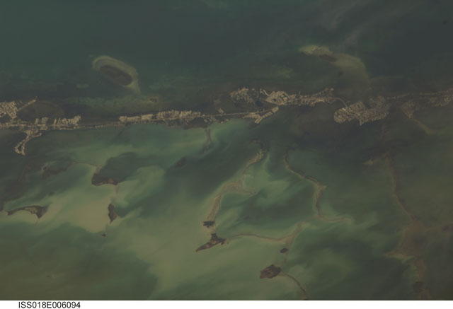
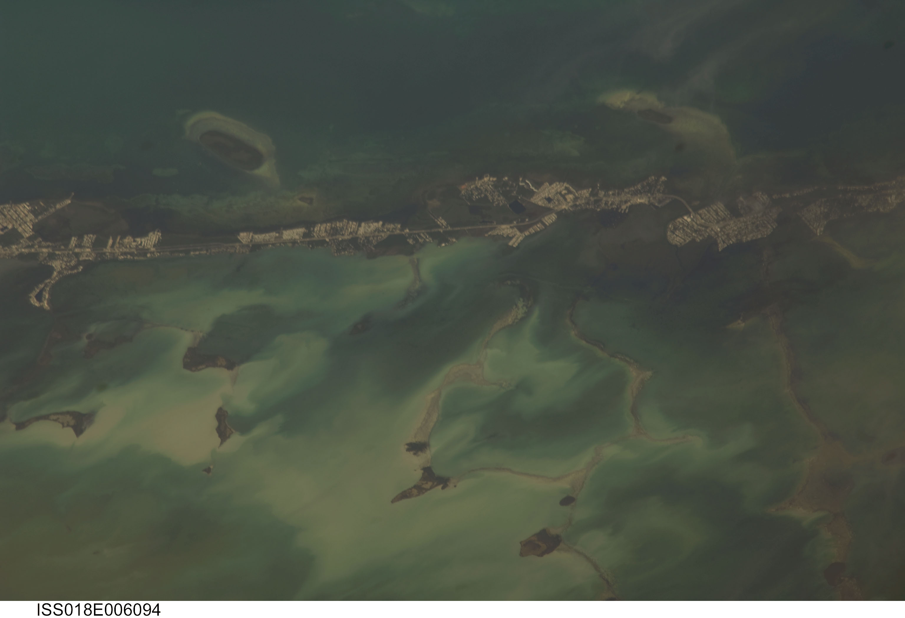
ISS018-E-6094
| NASA Photo ID | ISS018-E-6094 |
| Focal Length | 800mm |
| Date taken | 2008.10.29 |
| Time taken | 16:18:52 GMT |
Cloud masks available for this image:
Spacecraft nadir point: 24.7° N, 77.4° W
Photo center point: 25.1° N, 80.5° W
Photo center point by machine learning:
Photo center point: 25.1° N, 80.5° W
Photo center point by machine learning:
Nadir to Photo Center: West
Spacecraft Altitude: 189 nautical miles (350km)
Country or Geographic Name: | USA-FLORIDA |
Features: | KEY LARGO, PLANTATION KEY, FLORIDA BAY |
| Features Found Using Machine Learning: | |
Cloud Cover Percentage: | 10 (1-10)% |
Sun Elevation Angle: | 51° |
Sun Azimuth: | 167° |
Camera: | Nikon D2Xs Electronic Still Camera |
Focal Length: | 800mm |
Camera Tilt: | 45 degrees |
Format: | 4288E: 4288 x 2848 pixel CMOS sensor, RGBG imager color filter |
Film Exposure: | |
| Additional Information | |
| Width | Height | Annotated | Cropped | Purpose | Links |
|---|---|---|---|---|---|
| 3072 pixels | 2098 pixels | No | No | Download Image | |
| 640 pixels | 437 pixels | No | No | Download Image |
Download Packaged File
Download a Google Earth KML for this Image
View photo footprint information
Download a GeoTIFF for this photo
Image Caption: none
