ISS018-E-16500

| NASA Photo ID | ISS018-E-16500 |
| Focal Length | 800mm |
| Date taken | 2008.12.30 |
| Time taken | 06:40:53 GMT |
Cloud masks available for this image:
Spacecraft nadir point: 28.8° N, 46.7° E
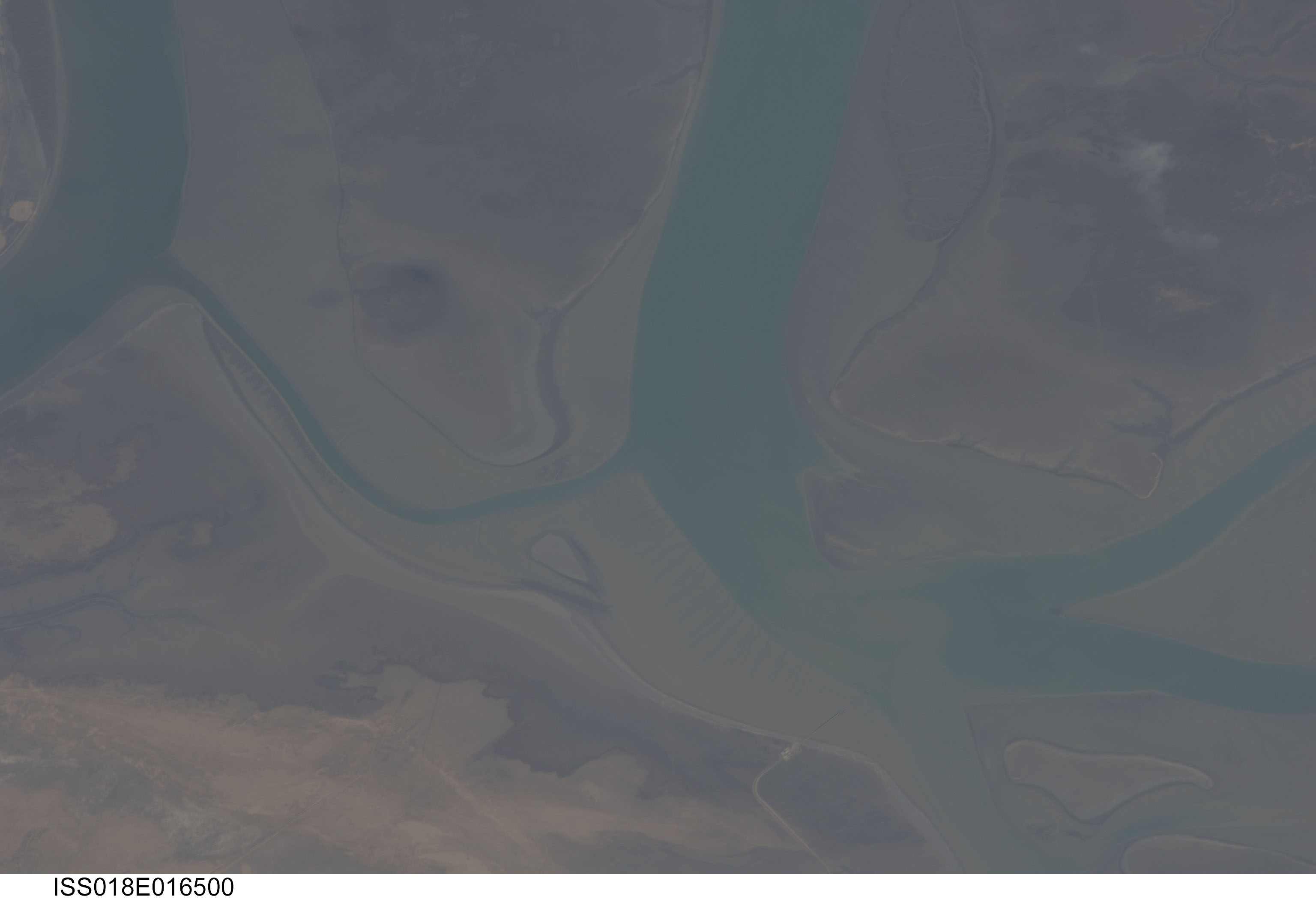
Photo center point: 29.9° N, 48.0° E
Photo center point by machine learning:
Photo center point: 29.9° N, 48.0° E
Photo center point by machine learning:
Nadir to Photo Center: Northeast
Spacecraft Altitude: 186 nautical miles (344km)
Country or Geographic Name: | KUWAIT |
Features: | NW. JAZIRAT I., CHANNELS, SED. |
| Features Found Using Machine Learning: | |
Cloud Cover Percentage: | 10 (1-10)% |
Sun Elevation Angle: | 29° |
Sun Azimuth: | 144° |
Camera: | Nikon D2Xs Electronic Still Camera |
Focal Length: | 800mm |
Camera Tilt: | 29 degrees |
Format: | 4288E: 4288 x 2848 pixel CMOS sensor, RGBG imager color filter |
Film Exposure: | |
| Additional Information | |
| Width | Height | Annotated | Cropped | Purpose | Links |
|---|---|---|---|---|---|
| 3072 pixels | 2098 pixels | No | No | Download Image | |
| 640 pixels | 437 pixels | No | No | Download Image |
Download Packaged File
Download a Google Earth KML for this Image
View photo footprint information
Download a GeoTIFF for this photo
Image Caption: none
