ISS017-E-6892

| NASA Photo ID | ISS017-E-6892 |
| Focal Length | 180mm |
| Date taken | 2008.05.13 |
| Time taken | 09:26:42 GMT |
Cloud masks available for this image:
Spacecraft nadir point: 28.1° S, 27.4° E
Photo center point: 26.5° S, 27.5° E
Photo center point by machine learning: 26.57° S, 27.68° E
Photo center point: 26.5° S, 27.5° E
Photo center point by machine learning: 26.57° S, 27.68° E
Nadir to Photo Center: North
Spacecraft Altitude: 184 nautical miles (341km)

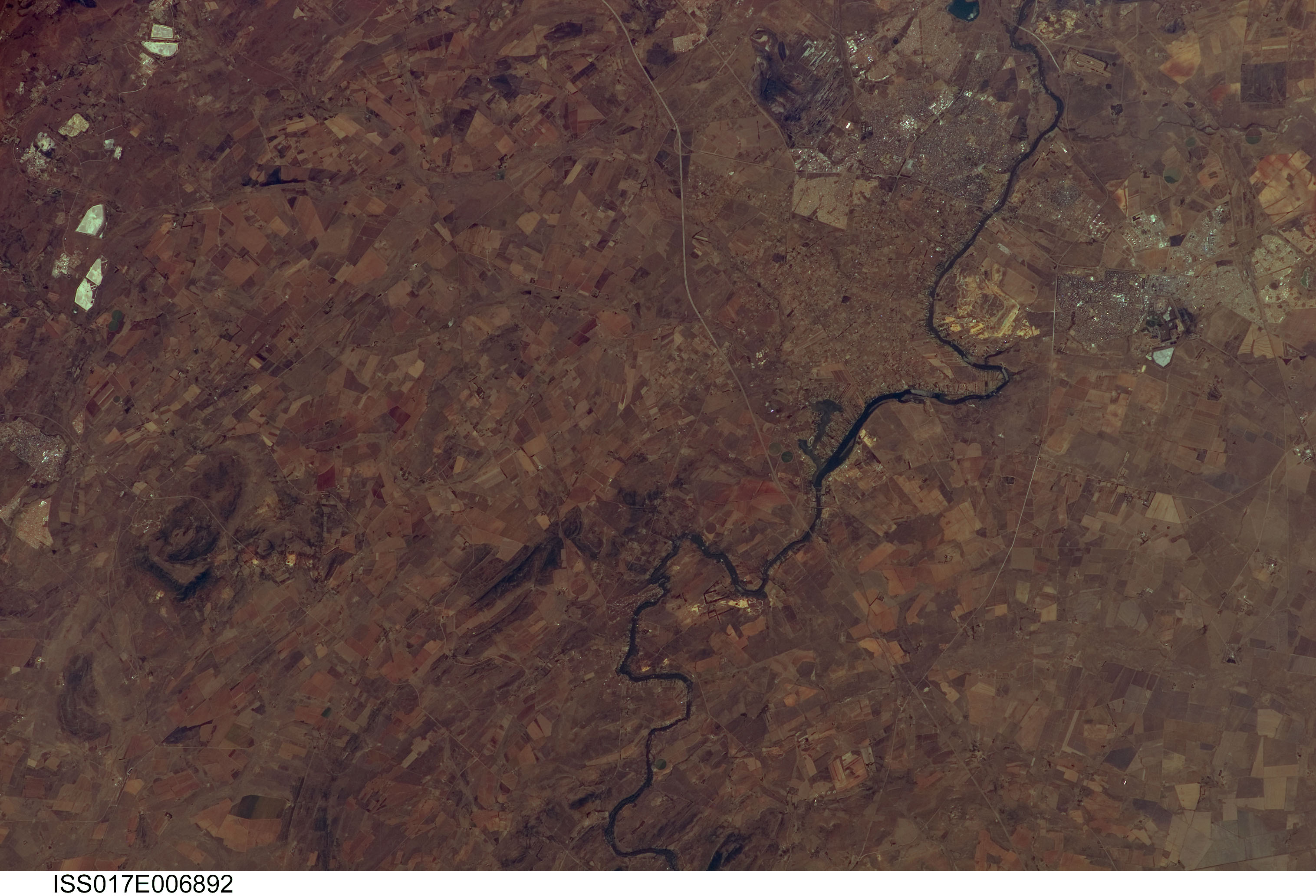
Country or Geographic Name: | REPUBLIC SOUTH AFRICA |
Features: | VAAL R., VREDEFORT CRATER, AGR. |
| Features Found Using Machine Learning: | |
Cloud Cover Percentage: | 10 (1-10)% |
Sun Elevation Angle: | 43° |
Sun Azimuth: | 13° |
Camera: | Kodak DCS760c Electronic Still Camera |
Focal Length: | 180mm |
Camera Tilt: | 28 degrees |
Format: | 3060E: 3060 x 2036 pixel CCD, RGBG array |
Film Exposure: | |
| Additional Information | |
| Width | Height | Annotated | Cropped | Purpose | Links |
|---|---|---|---|---|---|
| 3032 pixels | 2065 pixels | No | No | Download Image | |
| 640 pixels | 436 pixels | No | No | Download Image |
Download Packaged File
Download a Google Earth KML for this Image
View photo footprint information
Download a GeoTIFF for this photo
Image Caption: none
