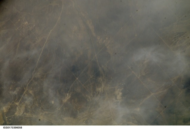
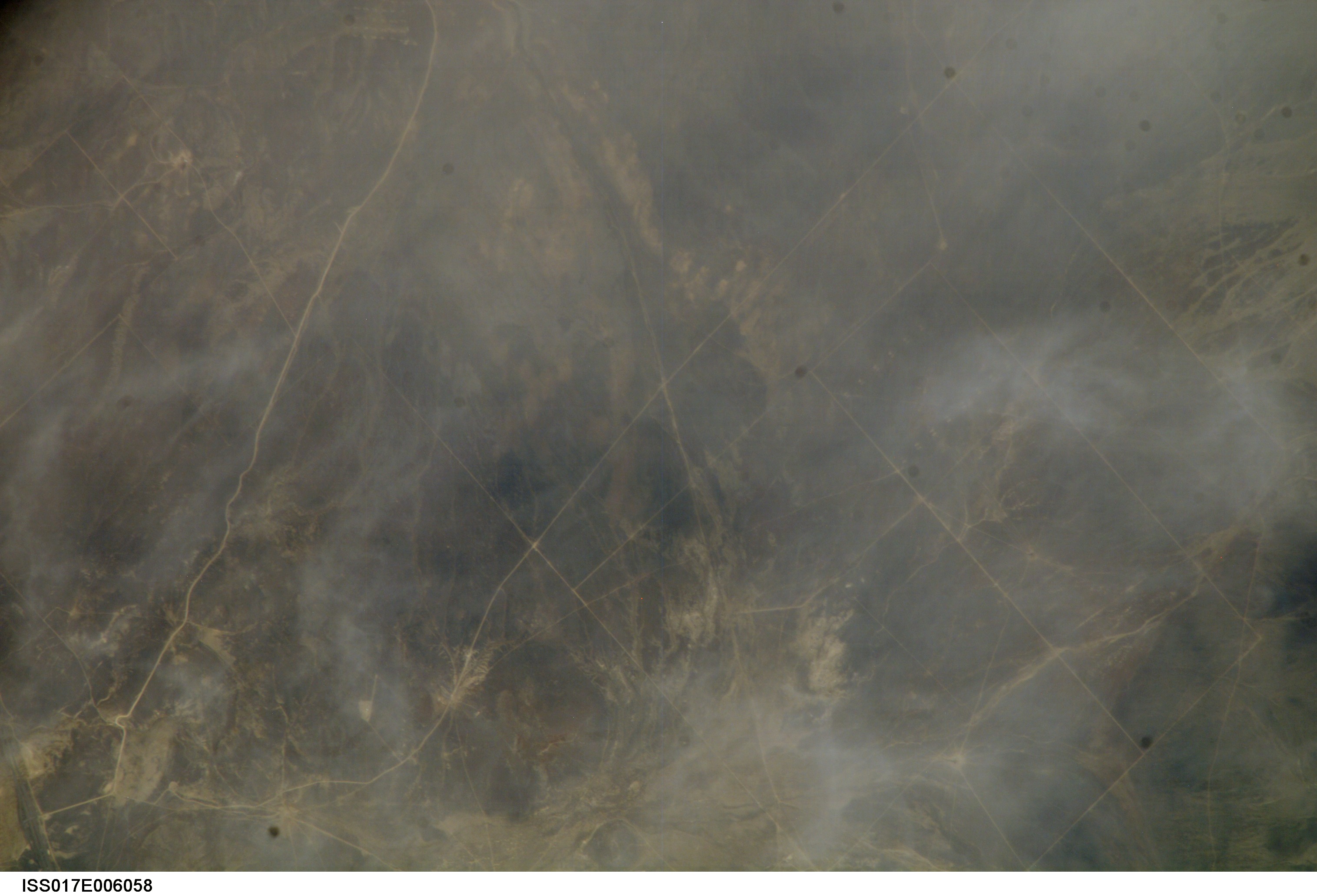
ISS017-E-6058
| NASA Photo ID | ISS017-E-6058 |
| Focal Length | 800mm |
| Date taken | 2008.05.02 |
| Time taken | 18:55:59 GMT |
Cloud masks available for this image:
Spacecraft nadir point: 40.4° N, 116.7° W
Photo center point: 40.7° N, 117.9° W
Photo center point by machine learning:
Photo center point: 40.7° N, 117.9° W
Photo center point by machine learning:
Nadir to Photo Center: West
Spacecraft Altitude: 180 nautical miles (333km)
Country or Geographic Name: | USA-NEVADA |
Features: | DUN GLEN FLAT, DUN GLEN CREEK |
| Features Found Using Machine Learning: | |
Cloud Cover Percentage: | 10 (1-10)% |
Sun Elevation Angle: | 63° |
Sun Azimuth: | 154° |
Camera: | Kodak DCS760c Electronic Still Camera |
Focal Length: | 800mm |
Camera Tilt: | 22 degrees |
Format: | 3060E: 3060 x 2036 pixel CCD, RGBG array |
Film Exposure: | |
| Additional Information | |
| Width | Height | Annotated | Cropped | Purpose | Links |
|---|---|---|---|---|---|
| 3032 pixels | 2064 pixels | No | No | Download Image | |
| 639 pixels | 435 pixels | No | No | Download Image |
Download Packaged File
Download a Google Earth KML for this Image
View photo footprint information
Download a GeoTIFF for this photo
Image Caption: none
