ISS016-E-30101
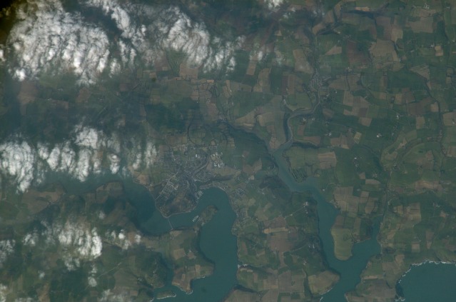
| NASA Photo ID | ISS016-E-30101 |
| Focal Length | 800mm |
| Date taken | 2008.02.17 |
| Time taken | 14:41:28 GMT |
Cloud masks available for this image:
Spacecraft nadir point: 51.7° N, 3.9° W
Photo center point: 51.7° N, 8.5° W
Photo center point by machine learning:
Photo center point: 51.7° N, 8.5° W
Photo center point by machine learning:
Nadir to Photo Center: West
Spacecraft Altitude: 176 nautical miles (326km)
Camera: | Kodak DCS760c Electronic Still Camera |
Focal Length: | 800mm |
Camera Tilt: | High Oblique |
Format: | 3060E: 3060 x 2036 pixel CCD, RGBG array |
Film Exposure: | |
| Additional Information | |
| Width | Height | Annotated | Cropped | Purpose | Links |
|---|---|---|---|---|---|
| 3032 pixels | 2008 pixels | No | No | Download Image | |
| 639 pixels | 423 pixels | No | No | Download Image |
Download Packaged File
Download a Google Earth KML for this Image
View photo footprint information
Download a GeoTIFF for this photo
Image Caption: none
