ISS016-E-28982
| NASA Photo ID | ISS016-E-28982 |
| Focal Length | 85mm |
| Date taken | 2008.02.07 |
| Time taken | 18:01:05 GMT |
Cloud masks available for this image:
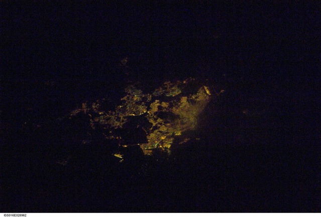
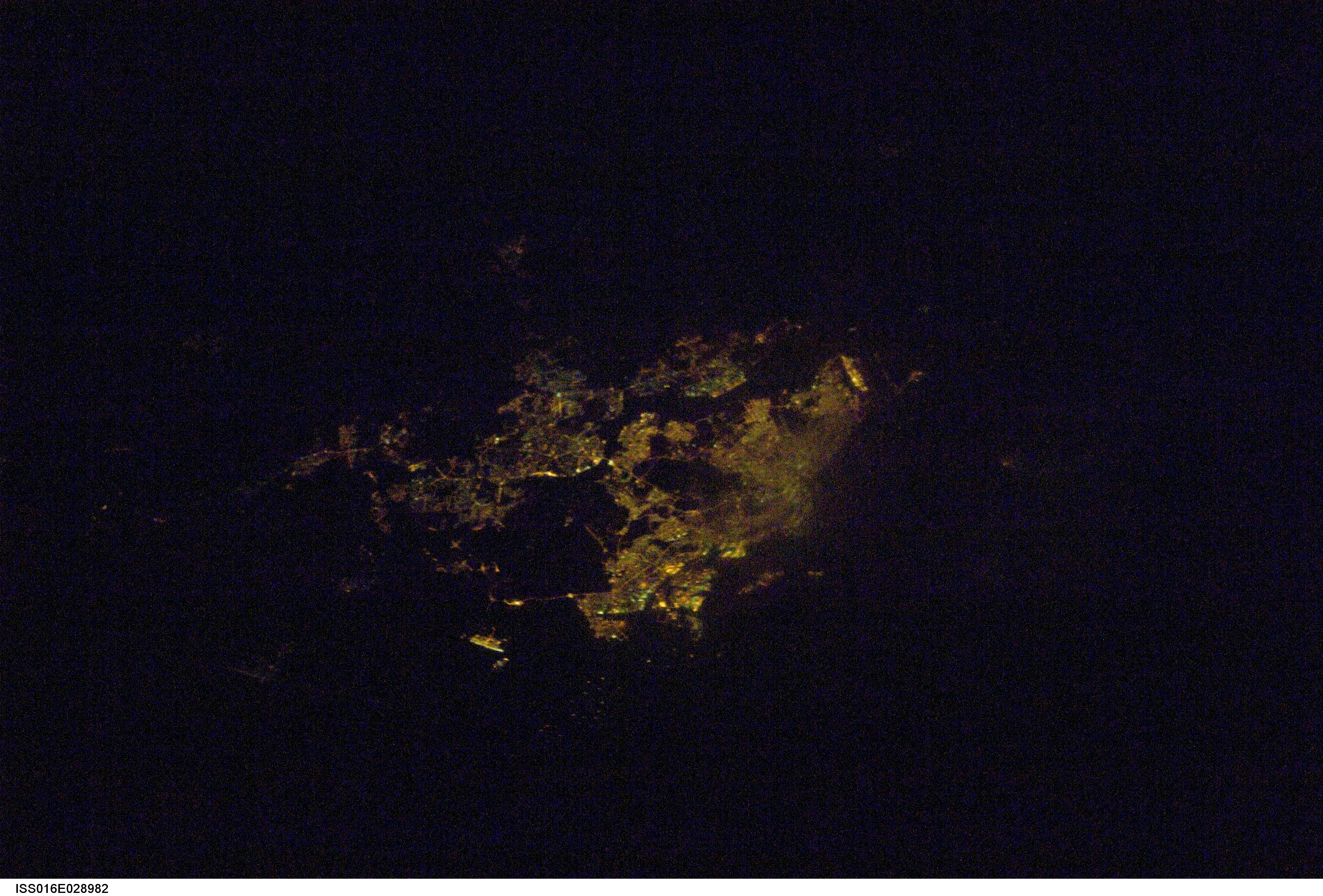
Spacecraft nadir point: 0.7° S, 101.9° E
Photo center point: 1.5° N, 104.0° E
Photo center point by machine learning:
Photo center point: 1.5° N, 104.0° E
Photo center point by machine learning:
Nadir to Photo Center: Northeast
Spacecraft Altitude: 184 nautical miles (341km)
Country or Geographic Name: | MALAYSIA |
Features: | SINGAPORE AREA AT NIGHT |
| Features Found Using Machine Learning: | |
Cloud Cover Percentage: | 25 (11-25)% |
Sun Elevation Angle: | -72° |
Sun Azimuth: | 152° |
Camera: | Nikon D1 Electronic Still Camera |
Focal Length: | 85mm |
Camera Tilt: | 45 degrees |
Format: | 2000E: 2000 x 1312 pixel CCD, RGBG imager color filter |
Film Exposure: | |
| Additional Information | |
| Width | Height | Annotated | Cropped | Purpose | Links |
|---|---|---|---|---|---|
| 4288 pixels | 2904 pixels | No | No | Download Image | |
| 639 pixels | 433 pixels | No | No | Download Image |
Download Packaged File
Download a Google Earth KML for this Image
View photo footprint information
Download a GeoTIFF for this photo
Image Caption: none
