ISS016-E-27156
| NASA Photo ID | ISS016-E-27156 |
| Focal Length | 400mm |
| Date taken | 2008.02.04 |
| Time taken | 07:44:25 GMT |

Cloud masks available for this image:
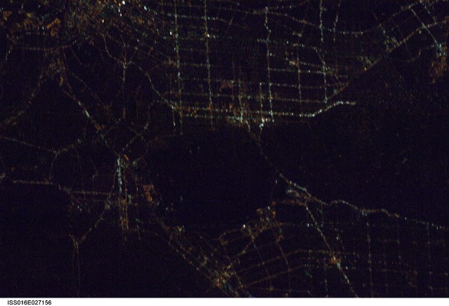
Spacecraft nadir point: 35.7° N, 117.8° W
Photo center point: 34.1° N, 118.3° W
Photo center point by machine learning: 34.12° N, 118.32° W
Photo center point: 34.1° N, 118.3° W
Photo center point by machine learning: 34.12° N, 118.32° W
Nadir to Photo Center: South
Spacecraft Altitude: 180 nautical miles (333km)

Country or Geographic Name: | USA-CALIFORNIA |
Features: | GLENDAILE-HOLLYWOOD AT NIGHT |
| Features Found Using Machine Learning: | |
Cloud Cover Percentage: | 10 (1-10)% |
Sun Elevation Angle: | -70° |
Sun Azimuth: | 345° |
Camera: | Nikon D1 Electronic Still Camera |
Focal Length: | 400mm |
Camera Tilt: | 29 degrees |
Format: | 2000E: 2000 x 1312 pixel CCD, RGBG imager color filter |
Film Exposure: | |
| Additional Information | |
| Width | Height | Annotated | Cropped | Purpose | Links |
|---|---|---|---|---|---|
| 3072 pixels | 2096 pixels | No | No | Download Image | |
| 639 pixels | 436 pixels | No | No | Download Image |
Download Packaged File
Download a Google Earth KML for this Image
View photo footprint information
Download a GeoTIFF for this photo
Image Caption: none
