ISS016-E-26172

| NASA Photo ID | ISS016-E-26172 |
| Focal Length | 400mm |
| Date taken | 2008.01.31 |
| Time taken | 09:30:56 GMT |
Cloud masks available for this image:
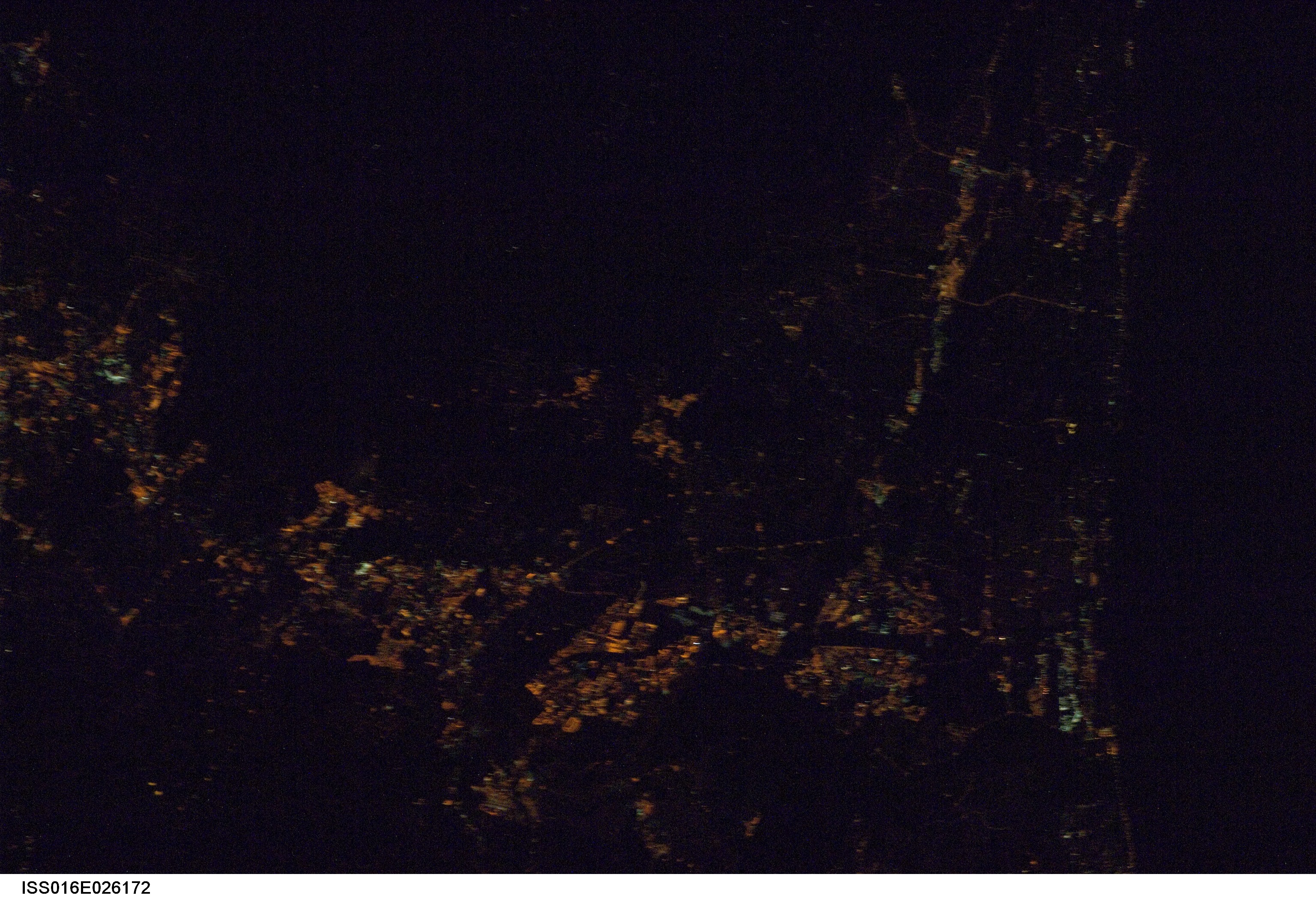
Spacecraft nadir point: 32.4° N, 115.9° W
Photo center point: 33.1° N, 117.2° W
Photo center point by machine learning:
Photo center point: 33.1° N, 117.2° W
Photo center point by machine learning:
Nadir to Photo Center: Northwest
Spacecraft Altitude: 181 nautical miles (335km)
Country or Geographic Name: | USA-CALIFORNIA |
Features: | OCEANSIDE-ESCONDIDO AT NIGHT |
| Features Found Using Machine Learning: | |
Cloud Cover Percentage: | 10 (1-10)% |
Sun Elevation Angle: | -64° |
Sun Azimuth: | 61° |
Camera: | Nikon D1 Electronic Still Camera |
Focal Length: | 400mm |
Camera Tilt: | 26 degrees |
Format: | 2000E: 2000 x 1312 pixel CCD, RGBG imager color filter |
Film Exposure: | |
| Additional Information | |
| Width | Height | Annotated | Cropped | Purpose | Links |
|---|---|---|---|---|---|
| 3072 pixels | 2096 pixels | No | No | Download Image | |
| 639 pixels | 436 pixels | No | No | Download Image |
Download Packaged File
Download a Google Earth KML for this Image
View photo footprint information
Download a GeoTIFF for this photo
Image Caption: none
