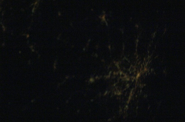
ISS016-E-25018
| NASA Photo ID | ISS016-E-25018 |
| Focal Length | 85mm |
| Date taken | 2008.01.21 |
| Time taken | 10:47:19 GMT |
Cloud masks available for this image:
Spacecraft nadir point: 36.7° N, 79.7° W
Photo center point: 35.0° N, 82.5° W
Photo center point by machine learning:
Photo center point: 35.0° N, 82.5° W
Photo center point by machine learning:
Nadir to Photo Center: Southwest
Spacecraft Altitude: 182 nautical miles (337km)
Country or Geographic Name: | USA-SOUTH CAROLINA |
Features: | ASHEVILLE AREA AT NIGHT, SOFT |
| Features Found Using Machine Learning: | |
Cloud Cover Percentage: | 0 (no clouds present) |
Sun Elevation Angle: | -20° |
Sun Azimuth: | 100° |
Camera: | Nikon D1 Electronic Still Camera |
Focal Length: | 85mm |
Camera Tilt: | 47 degrees |
Format: | 2000E: 2000 x 1312 pixel CCD, RGBG imager color filter |
Film Exposure: | |
| Additional Information | |
| Width | Height | Annotated | Cropped | Purpose | Links |
|---|---|---|---|---|---|
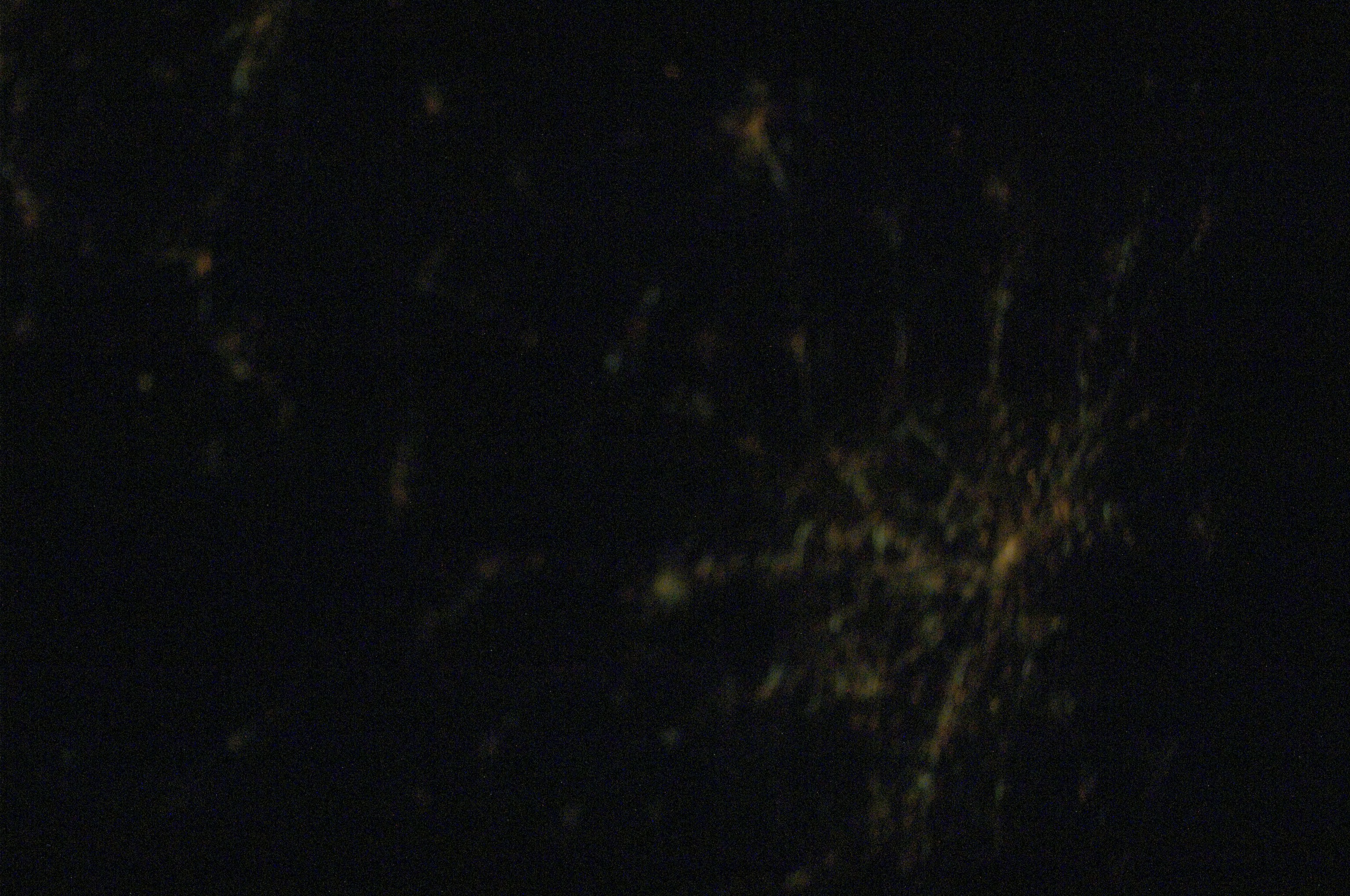
| 3072 pixels | 2040 pixels | No | No | Download Image | |
| 639 pixels | 424 pixels | No | No | Download Image |
Download Packaged File
Download a Google Earth KML for this Image
View photo footprint information
Download a GeoTIFF for this photo
Image Caption: none
