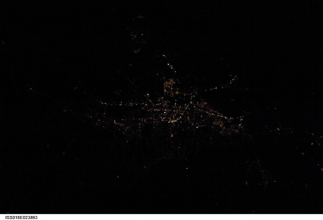
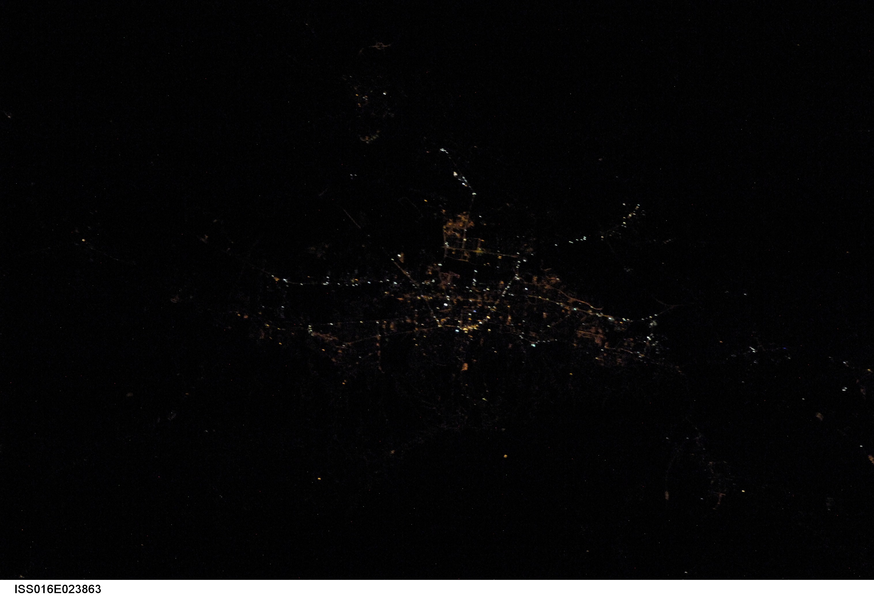
ISS016-E-23863
| NASA Photo ID | ISS016-E-23863 |
| Focal Length | 180mm |
| Date taken | 2007.12.04 |
| Time taken | 22:37:10 GMT |
Cloud masks available for this image:
Spacecraft nadir point: 46.1° N, 16.0° E
Photo center point: 45.8° N, 16.0° E
Photo center point by machine learning:
Photo center point: 45.8° N, 16.0° E
Photo center point by machine learning:
Nadir to Photo Center: South
Spacecraft Altitude: 180 nautical miles (333km)
Country or Geographic Name: | |
Features: | |
| Features Found Using Machine Learning: | |
Cloud Cover Percentage: | 0 (no clouds present) |
Sun Elevation Angle: | -66° |
Sun Azimuth: | 355° |
Camera: | Nikon D2Xs Electronic Still Camera |
Focal Length: | 180mm |
Camera Tilt: | 6 degrees |
Format: | 4288E: 4288 x 2848 pixel CMOS sensor, RGBG imager color filter |
Film Exposure: | |
| Additional Information | |
| Width | Height | Annotated | Cropped | Purpose | Links |
|---|---|---|---|---|---|
| 3032 pixels | 2070 pixels | No | No | Download Image | |
| 639 pixels | 436 pixels | No | No | Download Image |
Download Packaged File
Download a Google Earth KML for this Image
View photo footprint information
Download a GeoTIFF for this photo
Image Caption: METADATA CONTRIBUTED BY THE CITIES AT NIGHT GROUP; ACCURACY NOT VERIFIED
