ISS016-E-23197
| NASA Photo ID | ISS016-E-23197 |
| Focal Length | 800mm |
| Date taken | 2008.01.15 |
| Time taken | 16:55:25 GMT |
Cloud masks available for this image:
Spacecraft nadir point: 48.6° S, 37.2° W
Photo center point: 55.1° S, 39.4° W
Photo center point by machine learning:
Photo center point: 55.1° S, 39.4° W
Photo center point by machine learning:
Nadir to Photo Center: South
Spacecraft Altitude: 184 nautical miles (341km)
Country or Geographic Name: | ATLANTIC OCEAN |
Features: | ICEBERG A53A, FRAGMENTS |
| Features Found Using Machine Learning: | |
Cloud Cover Percentage: | 25 (11-25)% |
Sun Elevation Angle: | 51° |
Sun Azimuth: | 303° |
Camera: | Kodak DCS760c Electronic Still Camera |
Focal Length: | 800mm |
Camera Tilt: | High Oblique |
Format: | 3060E: 3060 x 2036 pixel CCD, RGBG array |
Film Exposure: | |
| Additional Information | |
| Width | Height | Annotated | Cropped | Purpose | Links |
|---|---|---|---|---|---|
| 639 pixels | 424 pixels | No | Yes | Earth From Space collection | Download Image |
| 3032 pixels | 2064 pixels | No | No | Download Image | |
| 639 pixels | 435 pixels | No | No | Download Image |
Download Packaged File
Download a Google Earth KML for this Image
View photo footprint information
Download a GeoTIFF for this photo
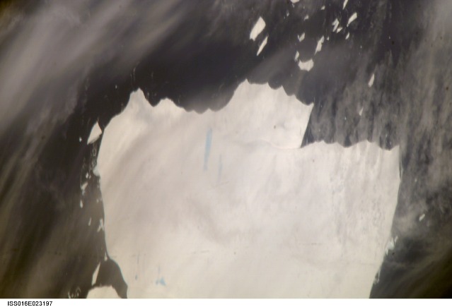
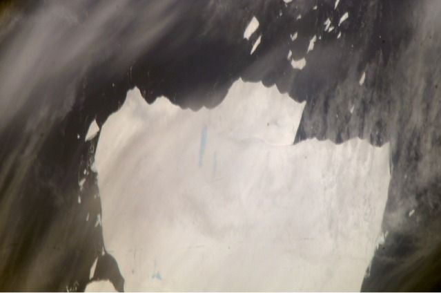
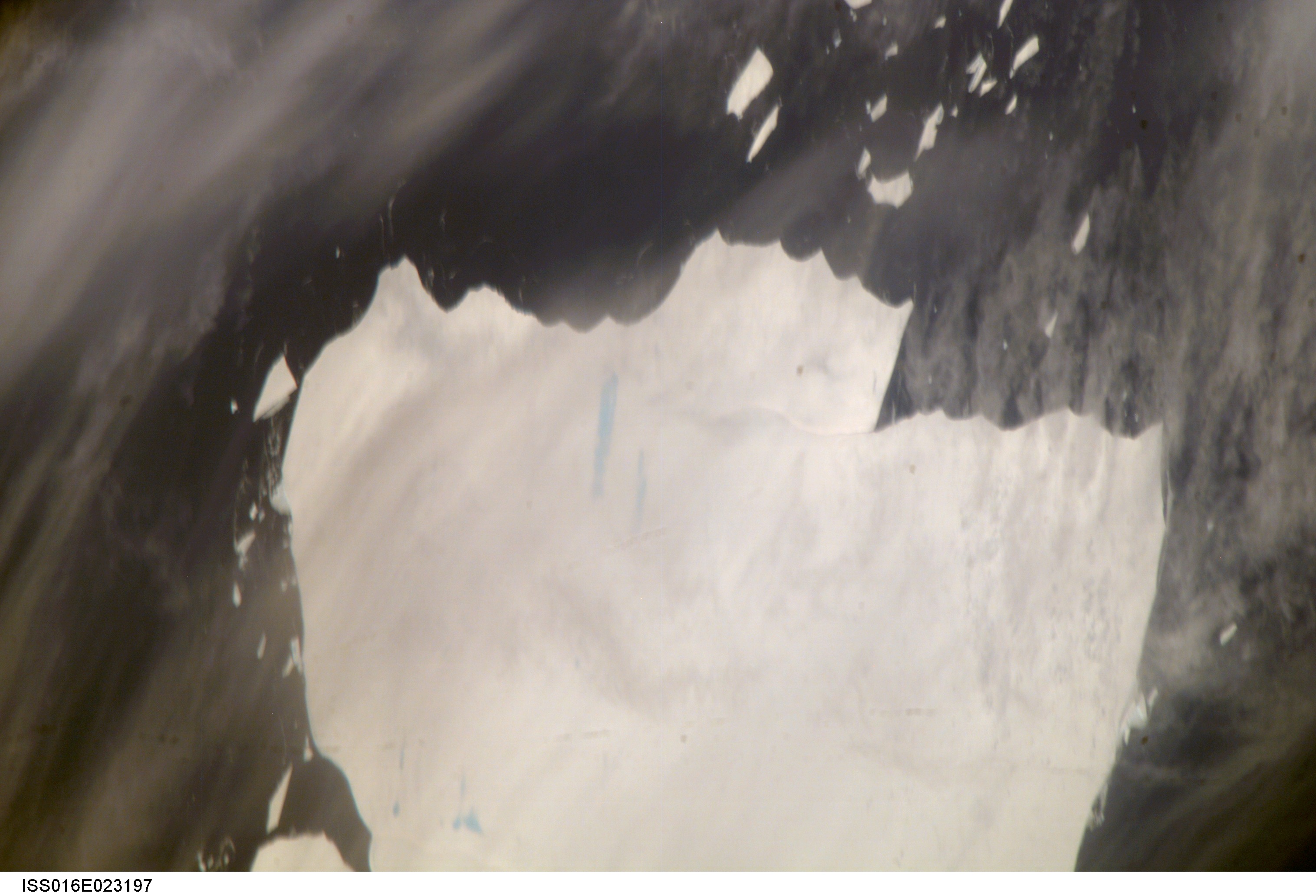
Image Caption: Mega-iceberg A53a, South Atlantic
The mega-iceberg A53a (upper image) measured close to 50 kilometers by 22 kilometers, about seven times the area of Manhattan Island, in mid-January 2008 when astronauts took the photographs for this mosaic. The images were acquired from the International Space Station (ISS), located 780 kilometers to the north of the iceberg at an altitude of 341 kilometers; the perspective distorts the oblong shape of the iceberg, making it look squarer than it actually is. At the time the photographs were taken, A53a lay southwest of the remote South Georgia Islands archipelago at approximately 55.5 degrees south, 38.25 degrees west-far to the east of Tierra del Fuego at the southern tip of South America.
Gray linear patches at the bottom of the image are thin clouds. Blue patches and streaks on the iceberg are melt ponds. The existence of melt ponds, combined with high summer temperatures, suggest to glaciologists that this iceberg is fast approaching the point of breaking up, probably within a few months. Ted Scambos, glaciologist and Lead Scientist at the National Snow and Ice Data Center, comments, "This is an iceberg worth watching, because, being water-saturated, it may well show a sudden, crumbling, disintegration, spreading fine blue micro-icebergs over the ocean surface."
Three detailed images of mega-iceberg A53a were stitched together by Ted Scambos to make this image. The lower image shows A53a in the process of breaking off from the Larsen Ice Shelf in late 2004; the future ice berg is indicated by a dashed line in the image. The wider view of the ice shelf is based on the MODIS Mosaic of Antarctica image map. Some features acquired during the iceberg's calving have been maintained in the years since.
Icebergs of the southern Atlantic Ocean contain rock material from Antarctica, eroded by the moving ice, and also wind-borne dust from deserts in Africa, South America, and Australia. The finest powdery rock material acts as nutrients for sea organisms. As the sediment-laden icebergs melt, they enrich the surrounding seawater with minerals. The area of enrichment is significantly larger when a mega-iceberg disintegrates into many small pieces.
Because of the capacity to take high-resolution photos at oblique angles through gaps in cloud cover, astronaut photography from the ISS is a unique resource for documenting the break up of major icebergs. As part of NASA's International Polar Year activities, images of A53a and other large icebergs are being acquired from the ISS to support a study of massive icebergs.
The study is aimed at understanding the way entire ice shelves-such as those that surround Antarctica today-evolve as climate changes. When large masses of ice float into warmer waters north of their usual latitudes, they undergo change at rapidly increased rates. Changes that would take decades to occur in Antarctica can happen in a few years or even months at latitudes near 50 degrees south. Observing these changes in mega-icebergs can educate scientists about the process of ice shelf breakup.
Astronauts have observed other major icebergs in the South Atlantic Ocean, for example, the berg identified as A22a.
