ISS015-E-14584
| NASA Photo ID | ISS015-E-14584 |
| Focal Length | 400mm |
| Date taken | 2007.06.26 |
| Time taken | 20:37:36 GMT |
Cloud masks available for this image:
Spacecraft nadir point: 7.7° S, 176.1° W
Photo center point: 21.1° N, 11.4° W
Photo center point by machine learning:
Photo center point: 21.1° N, 11.4° W
Photo center point by machine learning:
Nadir to Photo Center: East
Spacecraft Altitude: 179 nautical miles (332km)
Country or Geographic Name: | MAURITANIA |
Features: | RICHAT STRUCTURE, BLOWING SAND |
| Features Found Using Machine Learning: | |
Cloud Cover Percentage: | 10 (1-10)% |
Sun Elevation Angle: | 34° |
Sun Azimuth: | 55° |
Camera: | Kodak DCS760c Electronic Still Camera |
Focal Length: | 400mm |
Camera Tilt: | High Oblique |
Format: | 3060E: 3060 x 2036 pixel CCD, RGBG array |
Film Exposure: | |
| Additional Information | |
| Width | Height | Annotated | Cropped | Purpose | Links |
|---|---|---|---|---|---|
| 3032 pixels | 2064 pixels | No | No | Download Image | |
| 639 pixels | 435 pixels | No | No | Download Image |
Download Packaged File
Download a Google Earth KML for this Image
View photo footprint information
Download a GeoTIFF for this photo
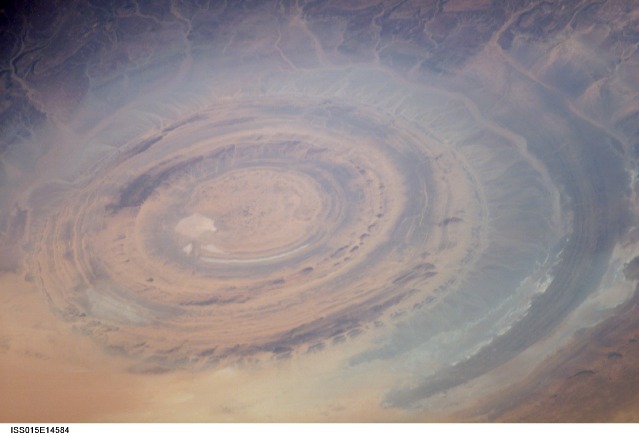
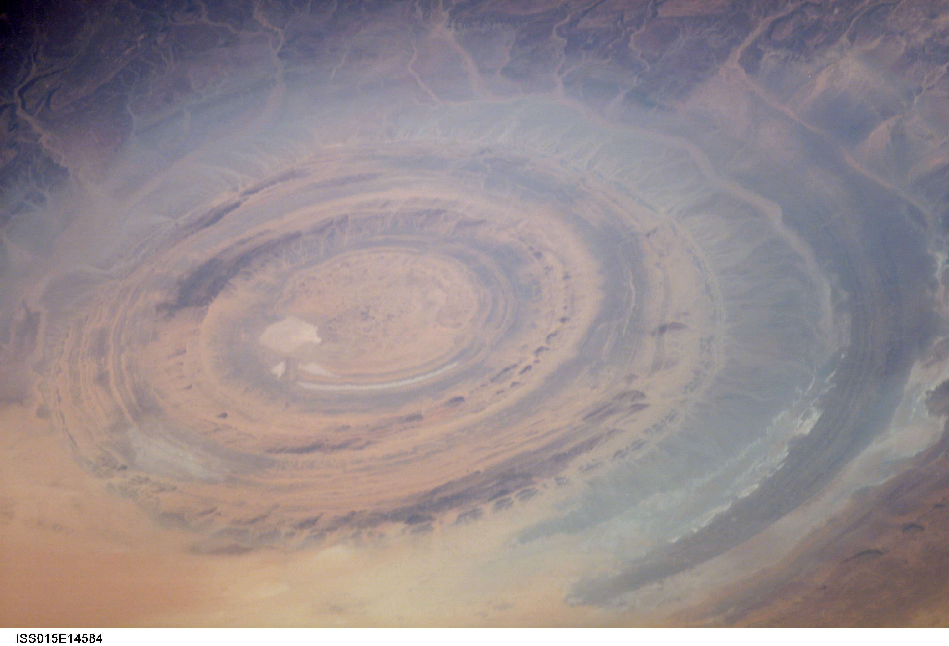
Image Caption: ISS015-E-14584 (26 June 2007) --- The "bull's-eye" of the Richat Structure in the barren Gres de Chinguetti Plateau, central Mauritania in northwest Africa is featured in this image photographed by an Expedition 15 crewmember on the International Space Station. It represents domally uplifted, layered (sedimentary) rocks that have been eroded by water and wind into the present shape. The 25-mile-wide structure is a 300-foot-deep landmark that has caught the eye of many an astronaut in Earth orbit.
