ISS014-E-17076

| NASA Photo ID | ISS014-E-17076 |
| Focal Length | 800mm |
| Date taken | 2007.03.13 |
| Time taken | 18:31:22 GMT |
Cloud masks available for this image:
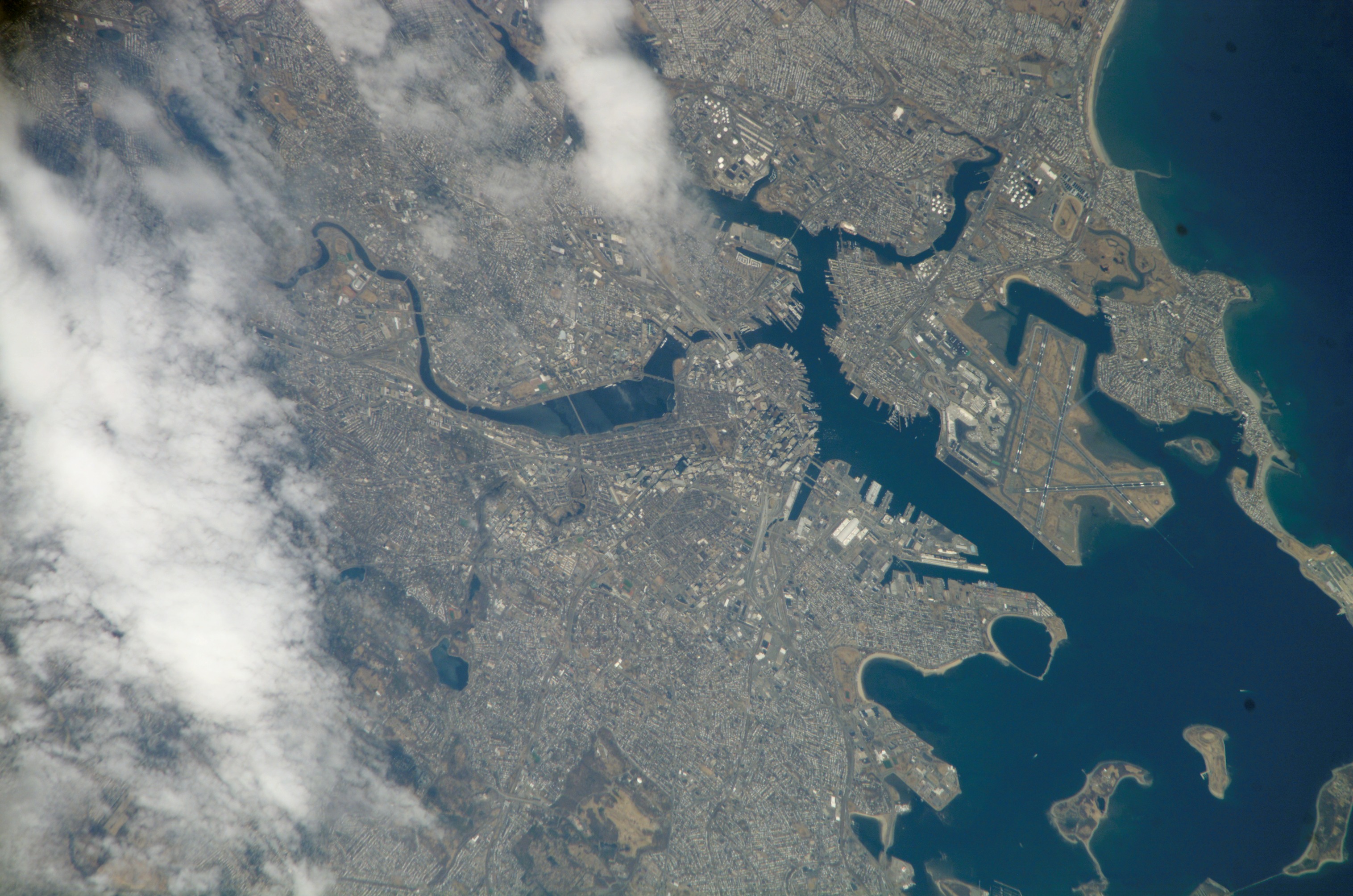
Spacecraft nadir point: 40.7° N, 74.4° W
Photo center point: 42.3° N, 71.1° W
Photo center point by machine learning:
Photo center point: 42.3° N, 71.1° W
Photo center point by machine learning:
Nadir to Photo Center: East
Spacecraft Altitude: 184 nautical miles (341km)
Camera: | Kodak DCS760c Electronic Still Camera |
Focal Length: | 800mm |
Camera Tilt: | 50 degrees |
Format: | 3060E: 3060 x 2036 pixel CCD, RGBG array |
Film Exposure: | |
| Additional Information | |
| Width | Height | Annotated | Cropped | Purpose | Links |
|---|---|---|---|---|---|
| 3032 pixels | 2008 pixels | No | No | Download Image | |
| 639 pixels | 423 pixels | No | No | Download Image |
Download Packaged File
Download a Google Earth KML for this Image
View photo footprint information
Download a GeoTIFF for this photo
Image Caption: none
