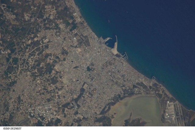
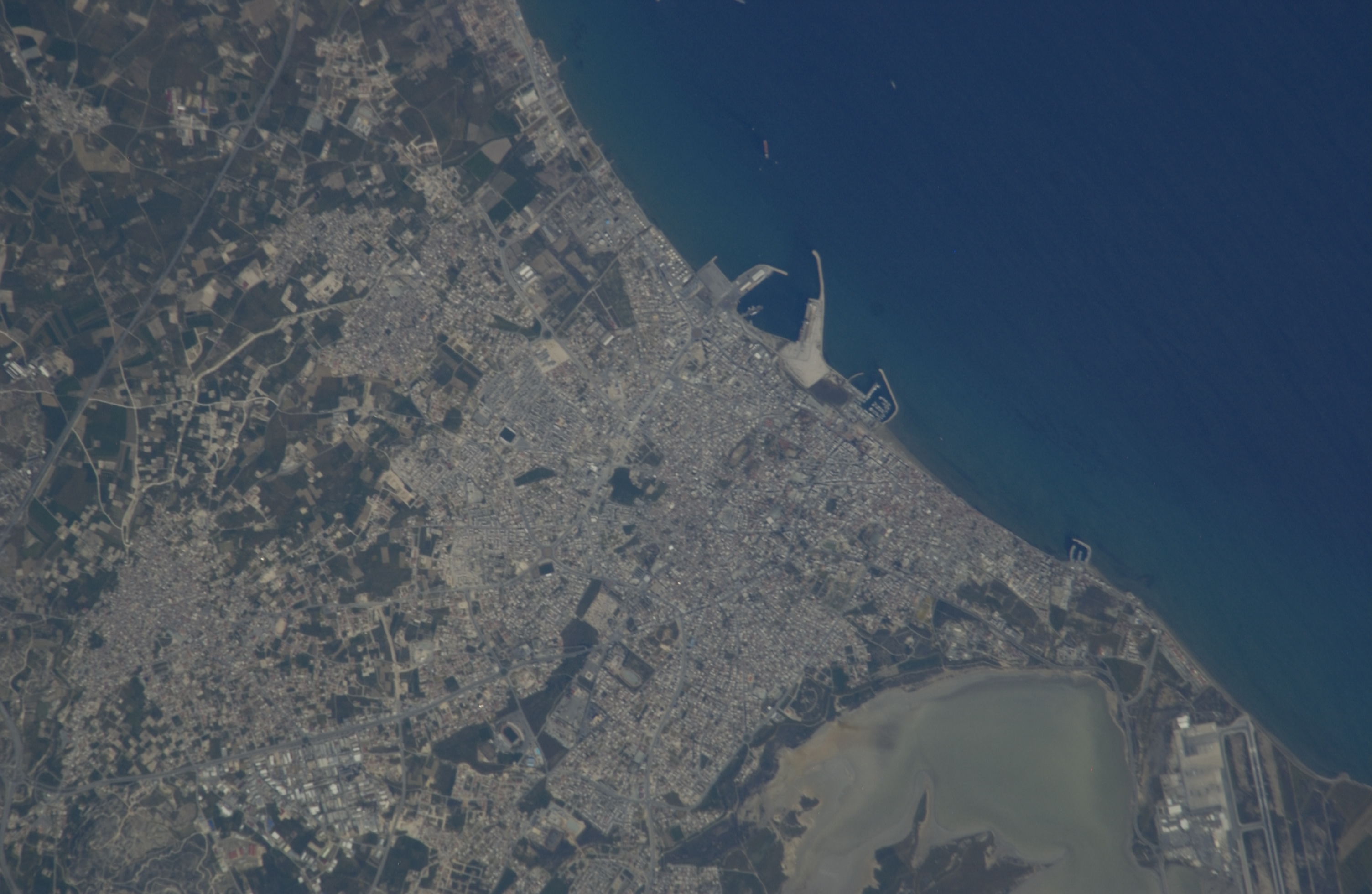
ISS012-E-25027
| NASA Photo ID | ISS012-E-25027 |
| Focal Length | 800mm |
| Date taken | 2006.03.29 |
| Time taken | 10:56:40 GMT |
Cloud masks available for this image:
Spacecraft nadir point: 33.9° N, 35.0° E
Photo center point: 34.9° N, 33.6° E
Photo center point by machine learning:
Photo center point: 34.9° N, 33.6° E
Photo center point by machine learning:
Nadir to Photo Center: Northwest
Spacecraft Altitude: 184 nautical miles (341km)
Country or Geographic Name: | CYPRUS |
Features: | PUBLIC INPUTS (from public image detectives, not NASA): LARNACA HARBOR,AGR.,COAST OF CYPRUS,LARNACA |
| Features Found Using Machine Learning: | |
Cloud Cover Percentage: | 10 (1-10)% |
Sun Elevation Angle: | 55° |
Sun Azimuth: | 213° |
Camera: | Nikon D1 Electronic Still Camera |
Focal Length: | 800mm |
Camera Tilt: | 29 degrees |
Format: | 2000E: 2000 x 1312 pixel CCD, RGBG imager color filter |
Film Exposure: | |
| Additional Information | |
| Width | Height | Annotated | Cropped | Purpose | Links |
|---|---|---|---|---|---|
| 3008 pixels | 1960 pixels | No | No | Original file from camera | Download Image |
| 640 pixels | 428 pixels | No | No | Download Image |
Download Packaged File
Download a Google Earth KML for this Image
View photo footprint information
Download a GeoTIFF for this photo
Image Caption: none
