ISS012-E-10111
| NASA Photo ID | ISS012-E-10111 |
| Focal Length | 180mm |
| Date taken | 2005.12.03 |
| Time taken | 15:36:59 GMT |
Cloud masks available for this image:
Spacecraft nadir point: 27.1° N, 38.2° W
Photo center point: 34.5° N, 44.4° W
Photo center point by machine learning:
Photo center point: 34.5° N, 44.4° W
Photo center point by machine learning:
Nadir to Photo Center: Northwest
Spacecraft Altitude: 191 nautical miles (354km)
Country or Geographic Name: | ATLANTIC OCEAN |
Features: | HURRICANE EPSILON, BANDING |
| Features Found Using Machine Learning: | |
Cloud Cover Percentage: | 100 (76-100)% |
Sun Elevation Angle: | 38° |
Sun Azimuth: | 202° |
Camera: | Kodak DCS760c Electronic Still Camera |
Focal Length: | 180mm |
Camera Tilt: | High Oblique |
Format: | 3060E: 3060 x 2036 pixel CCD, RGBG array |
Film Exposure: | |
| Additional Information | |
| Width | Height | Annotated | Cropped | Purpose | Links |
|---|---|---|---|---|---|
| 1520 pixels | 1008 pixels | No | No | Not enhanced | Download Image |
| 639 pixels | 435 pixels | No | No | Download Image |
Download Packaged File
Download a Google Earth KML for this Image
View photo footprint information
Download a GeoTIFF for this photo
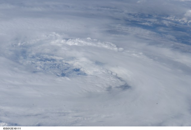
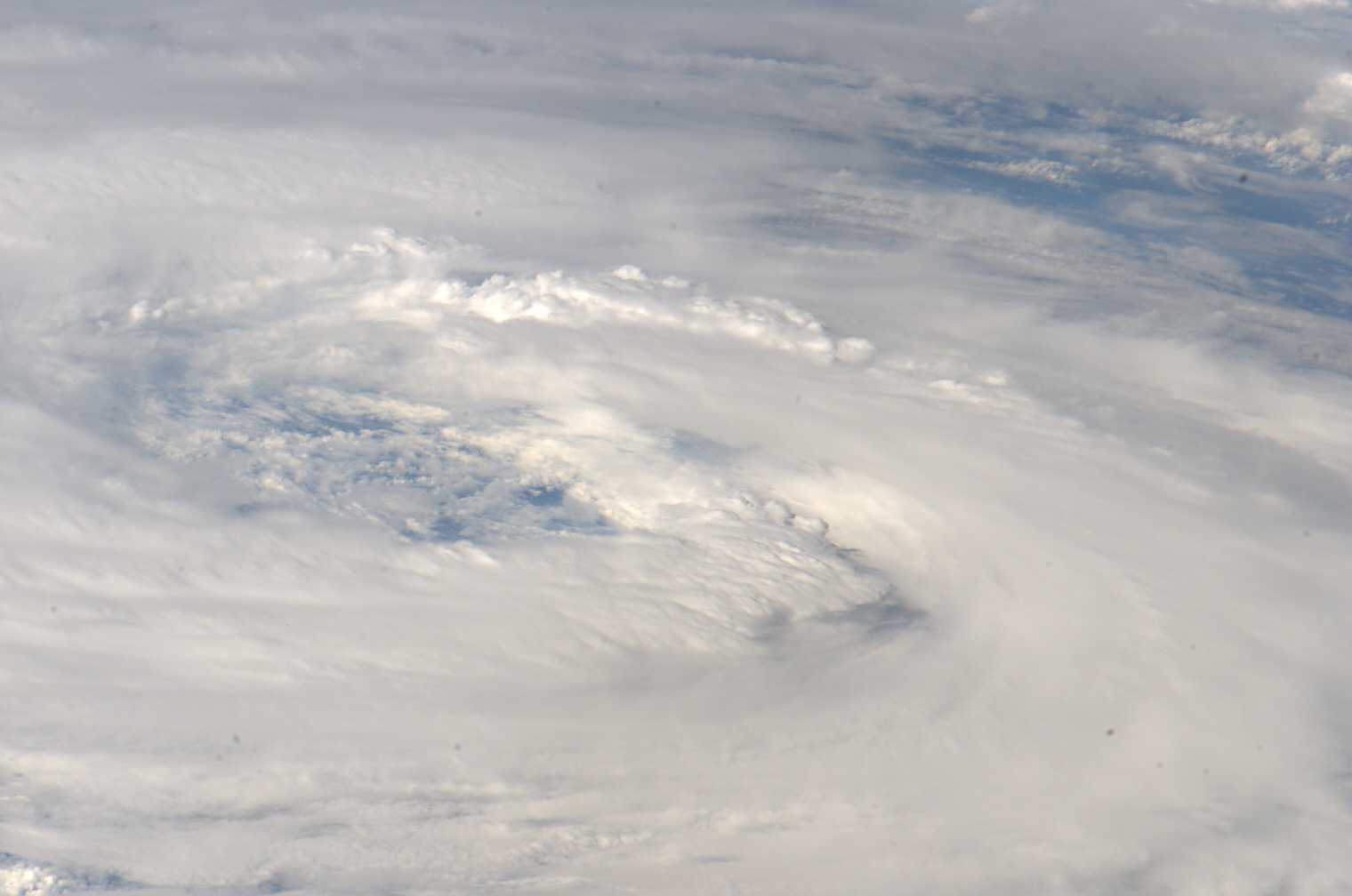
Image Caption: ISS012-E-10111 (3 Dec. 2005) --- This view featuring the eye of Hurricane Epsilon in the Atlantic Ocean was photographed at 15:35:59 GMT on Dec. 3, 2005 by one of the crewmembers of Expedition 12 aboard the International Space Station. The orbital outpost was flying at an altitude of 190 nautical miles. Center point coordinates are 34.5 degrees north latitude and 44.4 degrees west longitude.
