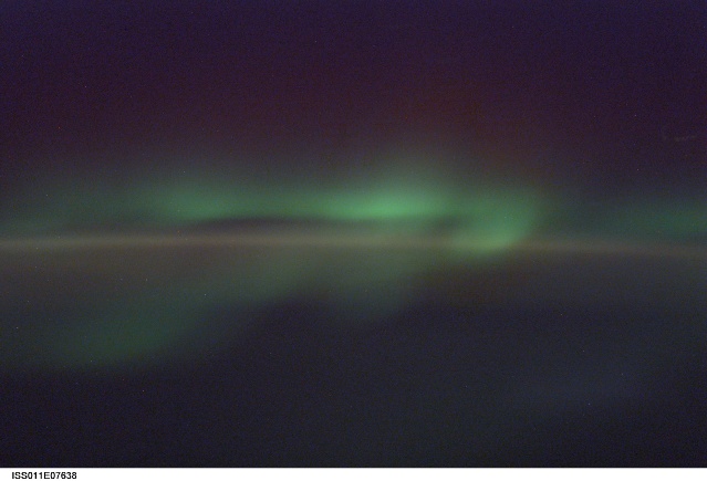
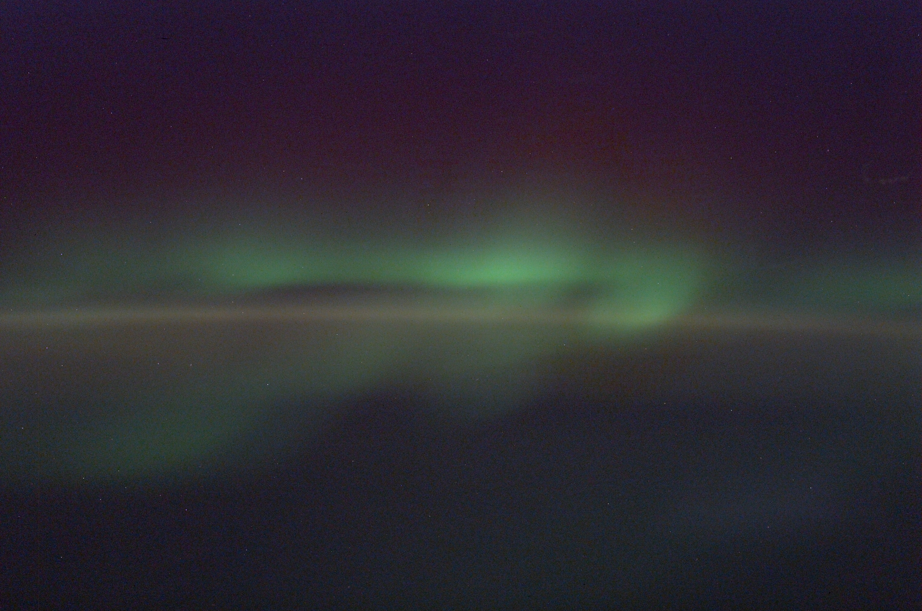
ISS011-E-7638
| NASA Photo ID | ISS011-E-7638 |
| Focal Length | 85mm |
| Date taken | 2005.05.31 |
| Time taken | 19:42:52 GMT |
Cloud masks available for this image:
Spacecraft nadir point: 49.0° S, 94.9° E
Photo center point:
Photo center point by machine learning:
Photo center point:
Photo center point by machine learning:
Nadir to Photo Center:
Spacecraft Altitude: 193 nautical miles (357km)
Country or Geographic Name: | INDIAN OCEAN |
Features: | AURORA AUSTRALIS, SOFT |
| Features Found Using Machine Learning: | AURORA |
Cloud Cover Percentage: | 10 (1-10)% |
Sun Elevation Angle: | -54° |
Sun Azimuth: | 126° |
Camera: | Kodak DCS760c Electronic Still Camera |
Focal Length: | 85mm |
Camera Tilt: | High Oblique |
Format: | 3060E: 3060 x 2036 pixel CCD, RGBG array |
Film Exposure: | |
| Additional Information | |
| Width | Height | Annotated | Cropped | Purpose | Links |
|---|---|---|---|---|---|
| 3032 pixels | 2008 pixels | No | No | Not enhanced | Download Image |
| 639 pixels | 435 pixels | No | No | Download Image |
Download Packaged File
Download a Google Earth KML for this Image
View photo footprint information
Download a GeoTIFF for this photo
Image Caption: none
