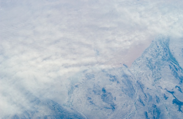
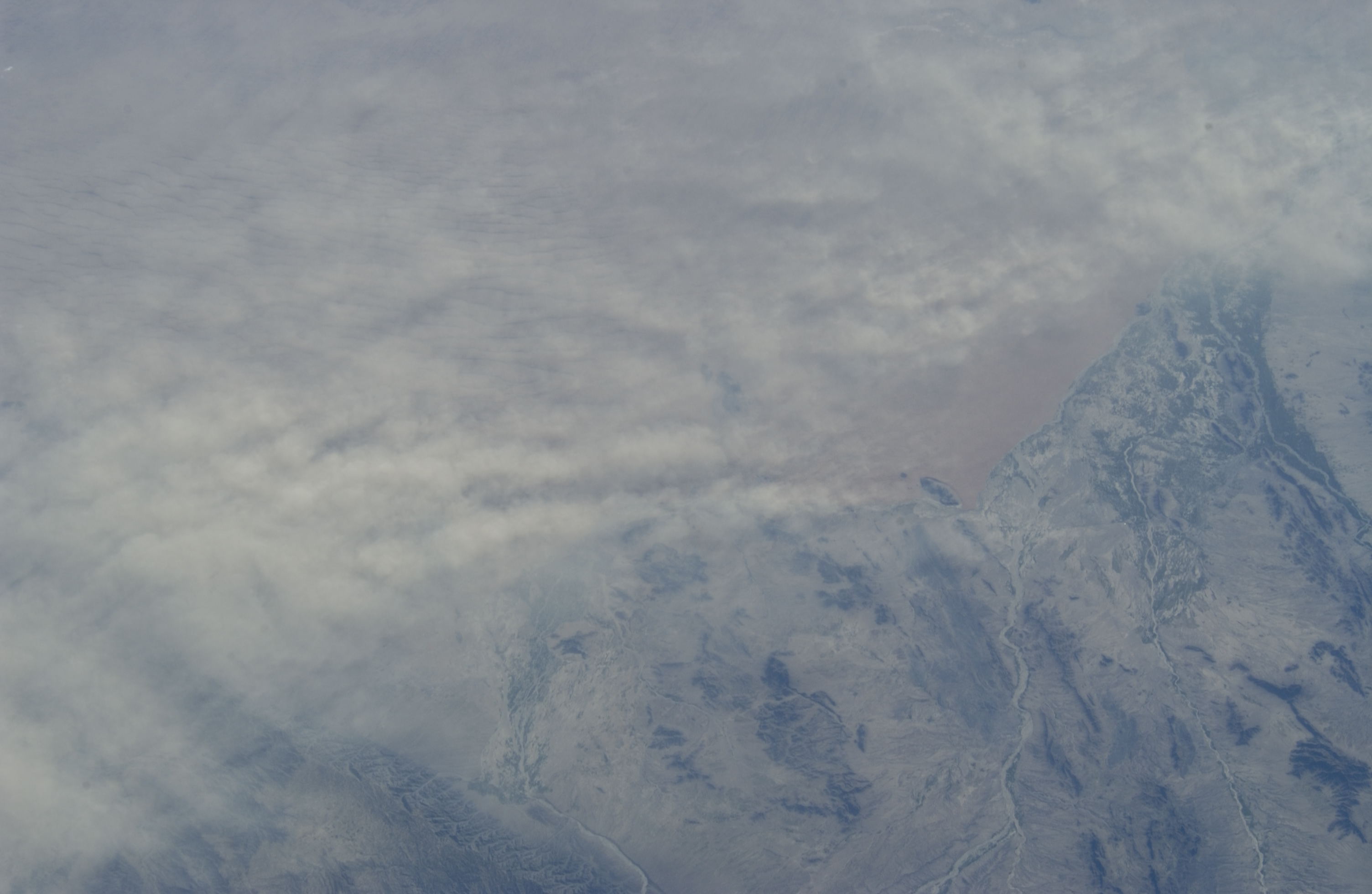
ISS011-E-14493
| NASA Photo ID | ISS011-E-14493 |
| Focal Length | 80mm |
| Date taken | 2005.05.11 |
| Time taken | 11:58:48 GMT |
Cloud masks available for this image:
Spacecraft nadir point: 33.8° N, 71.5° E
Photo center point: 31.0° N, 66.0° E
Photo center point by machine learning:
Photo center point: 31.0° N, 66.0° E
Photo center point by machine learning:
Nadir to Photo Center: Southwest
Spacecraft Altitude: 187 nautical miles (346km)
Country or Geographic Name: | AFGHANISTAN |
Features: | ARGHANDAB R., KANDAHAR, DESERT, AGR. |
| Features Found Using Machine Learning: | |
Cloud Cover Percentage: | 10 (1-10)% |
Sun Elevation Angle: | 24° |
Sun Azimuth: | 276° |
Camera: | Nikon D1 Electronic Still Camera |
Focal Length: | 80mm |
Camera Tilt: | High Oblique |
Format: | 2000E: 2000 x 1312 pixel CCD, RGBG imager color filter |
Film Exposure: | |
| Additional Information | |
| Width | Height | Annotated | Cropped | Purpose | Links |
|---|---|---|---|---|---|
| 3008 pixels | 1960 pixels | No | No | Not enhanced | Download Image |
| 640 pixels | 417 pixels | No | No | Download Image |
Download Packaged File
Download a Google Earth KML for this Image
View photo footprint information
Download a GeoTIFF for this photo
Image Caption: none
