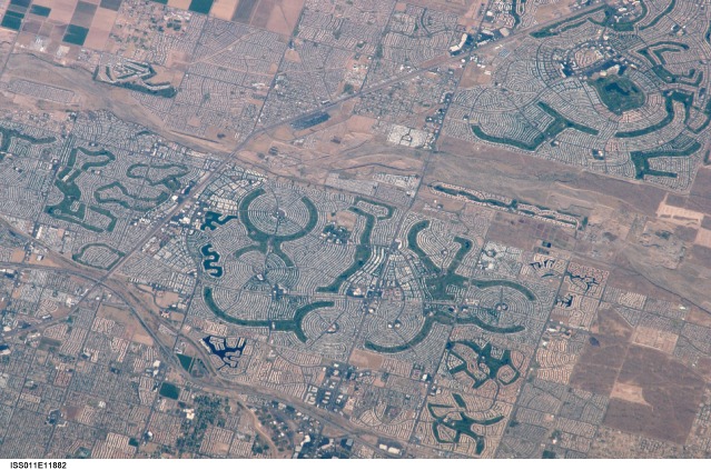
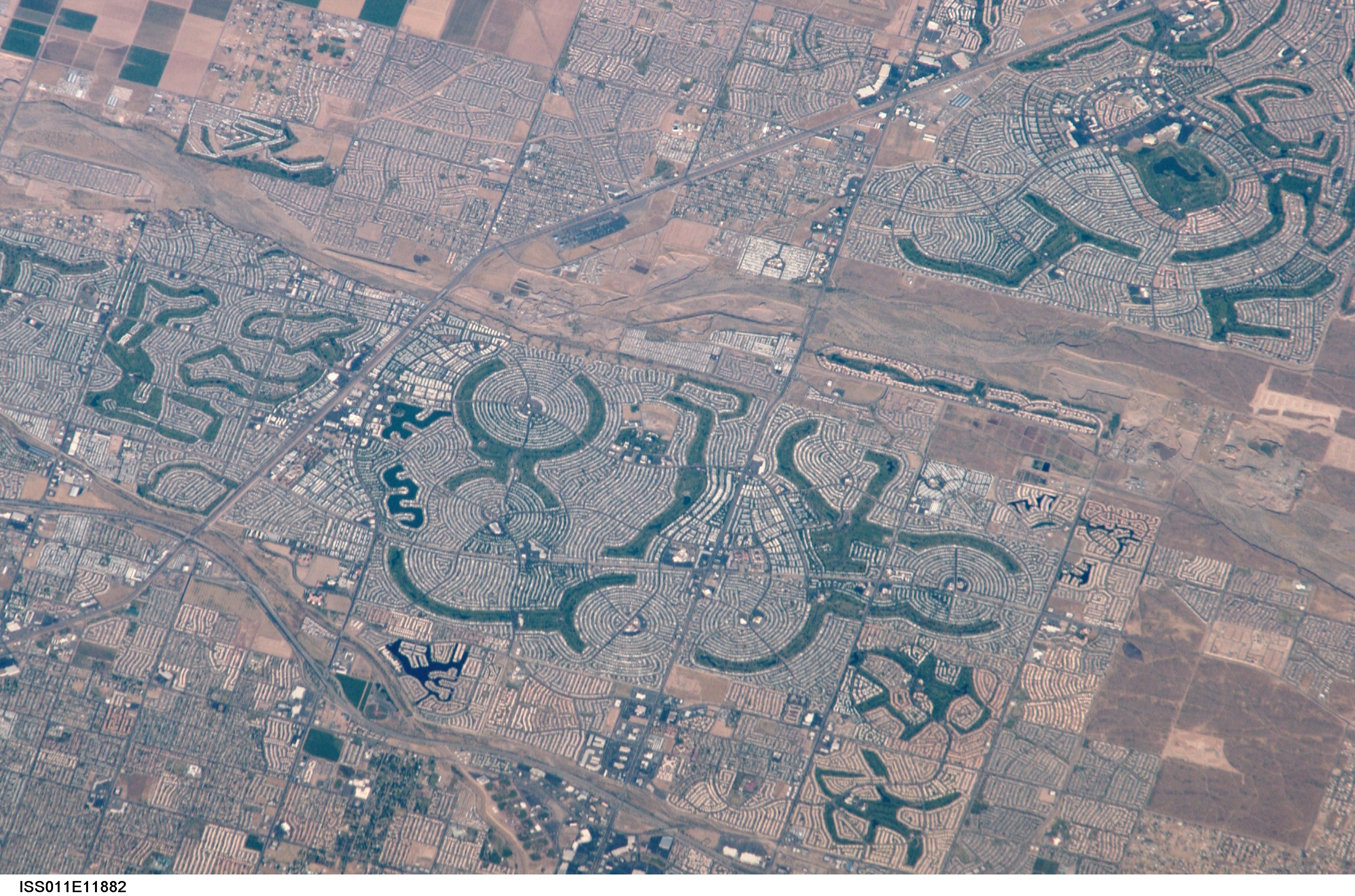
ISS011-E-11882
| NASA Photo ID | ISS011-E-11882 |
| Focal Length | 800mm |
| Date taken | 2005.06.04 |
| Time taken | 14:12:56 GMT |
Cloud masks available for this image:
Spacecraft nadir point: 34.5° N, 108.1° W
Photo center point: 33.6° N, 112.2° W
Photo center point by machine learning:
Photo center point: 33.6° N, 112.2° W
Photo center point by machine learning:
Nadir to Photo Center: West
Spacecraft Altitude: 189 nautical miles (350km)
Country or Geographic Name: | USA-ARIZONA |
Features: | EL MIRAGE, SURPRISE, NW. PHOENIX |
| Features Found Using Machine Learning: | PHOENIX |
Cloud Cover Percentage: | 10 (1-10)% |
Sun Elevation Angle: | 25° |
Sun Azimuth: | 79° |
Camera: | Nikon D1 Electronic Still Camera |
Focal Length: | 800mm |
Camera Tilt: | 53 degrees |
Format: | 2000E: 2000 x 1312 pixel CCD, RGBG imager color filter |
Film Exposure: | |
| Additional Information | |
| Width | Height | Annotated | Cropped | Purpose | Links |
|---|---|---|---|---|---|
| 3523 pixels | 2274 pixels | No | No | Original file from camera | Download Image |
| 639 pixels | 423 pixels | No | No | Download Image |
Download Packaged File
Download a Google Earth KML for this Image
View photo footprint information
Download a GeoTIFF for this photo
Image Caption: none
