ISS010-E-20111

| NASA Photo ID | ISS010-E-20111 |
| Focal Length | 800mm |
| Date taken | 2005.03.17 |
| Time taken | 17:24:59 GMT |
540 x 406 pixels 1000 x 751 pixels 540 x 406 pixels 3032 x 2064 pixels 639 x 435 pixels

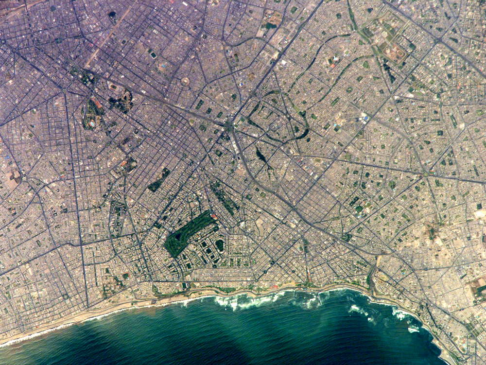
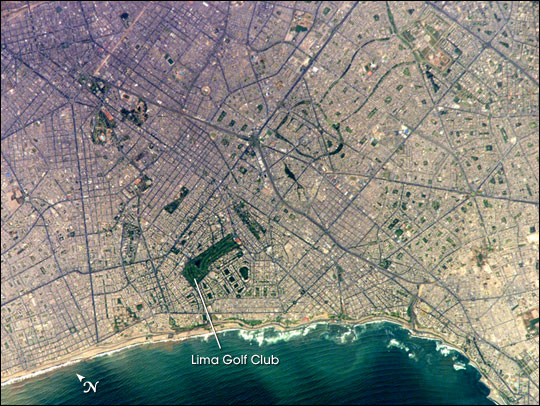
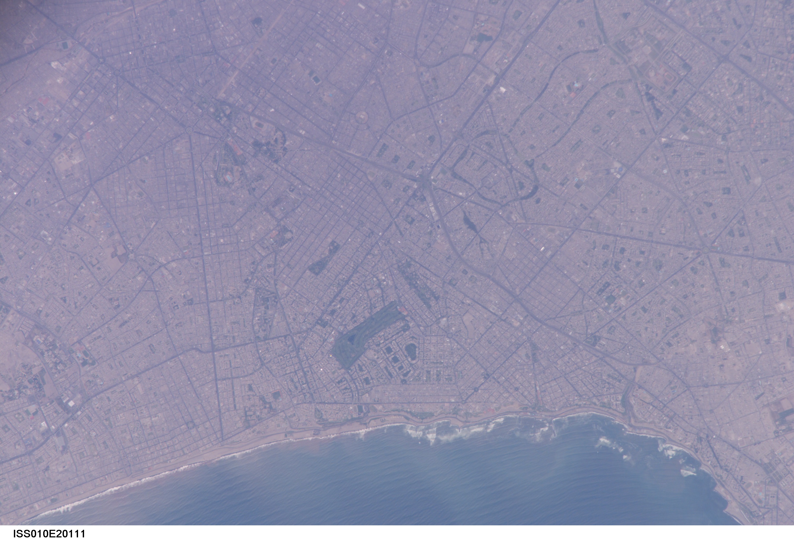
Photo center point: 12.1° S, 77.0° W
Photo center point by machine learning:
Country or Geographic Name: | PERU |
Features: | LIMA, PARK VEGETATION |
| Features Found Using Machine Learning: | |
Cloud Cover Percentage: | 10 (1-10)% |
Sun Elevation Angle: | 80° |
Sun Azimuth: | 345° |
Camera: | Kodak DCS760c Electronic Still Camera |
Focal Length: | 800mm |
Camera Tilt: | 22 degrees |
Format: | 3060E: 3060 x 2036 pixel CCD, RGBG array |
Film Exposure: | |
| Additional Information | |
| Width | Height | Annotated | Cropped | Purpose | Links |
|---|---|---|---|---|---|
| 540 pixels | 406 pixels | Yes | Yes | Earth From Space collection | Download Image |
| 1000 pixels | 751 pixels | No | Yes | NASA's Earth Observatory web site | Download Image |
| 540 pixels | 406 pixels | Yes | Yes | NASA's Earth Observatory web site | Download Image |
| 3032 pixels | 2064 pixels | No | No | Download Image | |
| 639 pixels | 435 pixels | No | No | Download Image |
Located on the broad alluvial fan of the Rimac River, Lima is the capital of Peru and the only megacity (7.7 million inhabitants in 2002) located on the western coastline of South America. The city was established by Francisco Pizarro in 1535 and became an important colonial port, linking silver mines of the Altiplano of the high Andes Mountains with the burgeoning Spanish empire. During the mid-20th century, significant numbers of people relocated from rural mountain communities into the Lima metropolitan area. Problems now facing the metropolitan region include developing adequate water resources, controlling pollution, and preparing for natural hazards such as earthquakes and landslides.
This astronaut photograph depicts the wealthier San Isidro and Miraflores quarters of Lima. This part of the metropolitan area is characterized by numerous vegetated parks, golf courses (such as the Lima Golf Course--approximately 1 km long), and greenbelts interspersed with residential and commercial areas. The higher proportion of dark asphalt in the street grid of the residential and commercial areas lends a purple coloration to the left portion of the astronaut photograph (downtown Lima is to the north). Regions with fewer built materials and vegetation are light tan. Wave patterns are visible approaching beaches, popular tourist destinations, in the lower half of the image.
