ISS009-E-9218

| NASA Photo ID | ISS009-E-9218 |
| Focal Length | 50mm |
| Date taken | 2004.05.30 |
| Time taken | 10:33:22 GMT |
Cloud masks available for this image:
Spacecraft nadir point: 44.4° N, 60.1° E
Photo center point: 45.0° N, 59.0° E
Photo center point by machine learning:
Photo center point: 45.0° N, 59.0° E
Photo center point by machine learning:
Nadir to Photo Center: Northwest
Spacecraft Altitude: 193 nautical miles (357km)
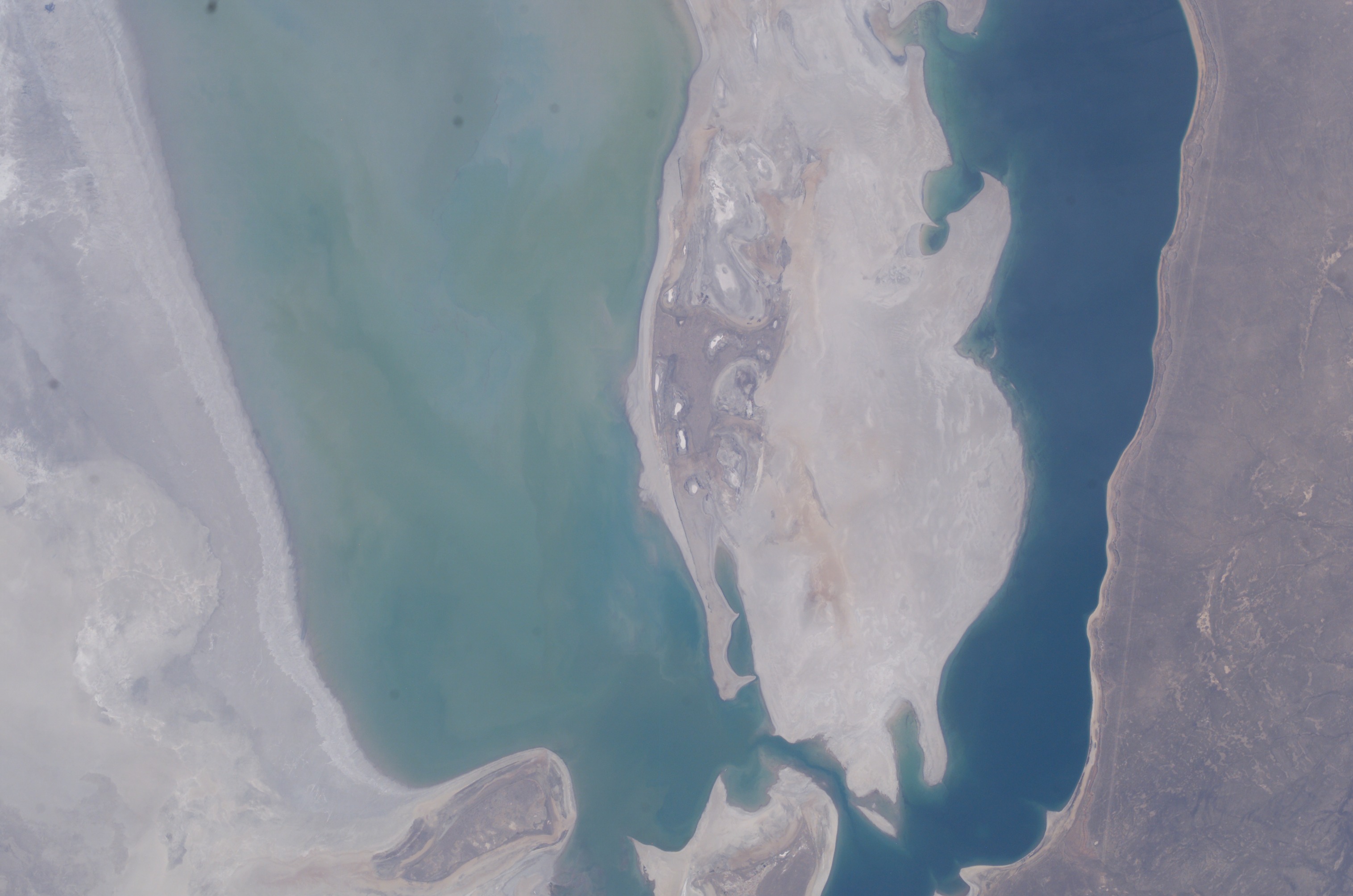
Country or Geographic Name: | UZBEKISTAN |
Features: | ARAL SEA, VOZROZHDENIYA I. |
| Features Found Using Machine Learning: | |
Cloud Cover Percentage: | 10 (1-10)% |
Sun Elevation Angle: | 51° |
Sun Azimuth: | 248° |
Camera: | Kodak DCS760c Electronic Still Camera |
Focal Length: | 50mm |
Camera Tilt: | 21 degrees |
Format: | 3060E: 3060 x 2036 pixel CCD, RGBG array |
Film Exposure: | |
| Additional Information | |
| Width | Height | Annotated | Cropped | Purpose | Links |
|---|---|---|---|---|---|
| 3032 pixels | 2008 pixels | No | No | Download Image | |
| 639 pixels | 423 pixels | No | No | Download Image |
Download Packaged File
Download a Google Earth KML for this Image
View photo footprint information
Download a GeoTIFF for this photo
Image Caption: none
