ISS007-E-15372

| NASA Photo ID | ISS007-E-15372 |
| Focal Length | 800mm |
| Date taken | 2003.09.23 |
| Time taken | 12:59:33 GMT |
Cloud masks available for this image:
Spacecraft nadir point: 32.6° S, 17.7° E
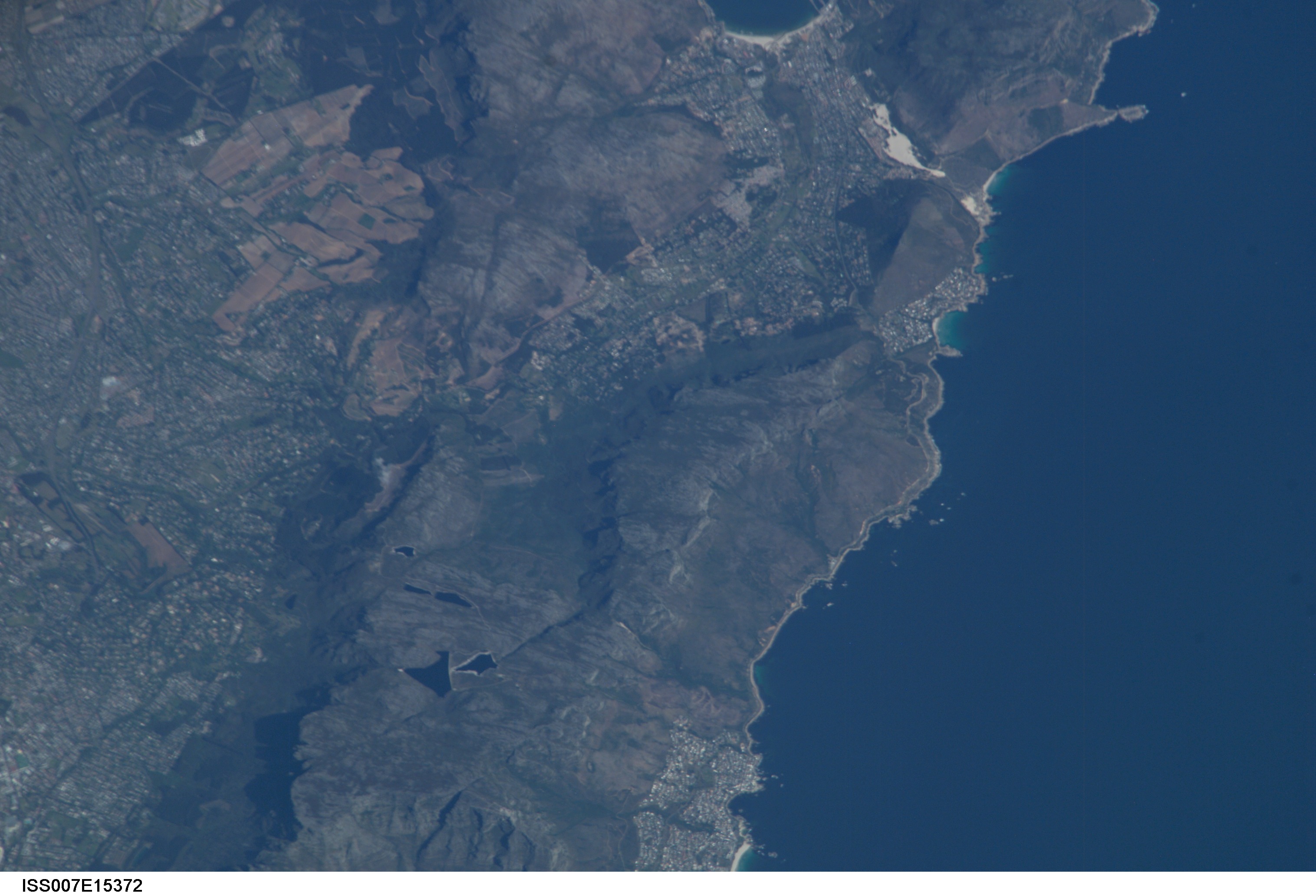
Photo center point: 34.0° S, 18.5° E
Photo center point by machine learning:
Photo center point: 34.0° S, 18.5° E
Photo center point by machine learning:
Nadir to Photo Center: Southeast
Spacecraft Altitude: 206 nautical miles (382km)
Country or Geographic Name: | REPUBLIC SOUTH AFRICA |
Features: | CAPE TOWN, TABLE MOUNTAIN |
| Features Found Using Machine Learning: | |
Cloud Cover Percentage: | 10 (1-10)% |
Sun Elevation Angle: | 44° |
Sun Azimuth: | 308° |
Camera: | Kodak DCS760c Electronic Still Camera |
Focal Length: | 800mm |
Camera Tilt: | 25 degrees |
Format: | 3060E: 3060 x 2036 pixel CCD, RGBG array |
Film Exposure: | |
| Additional Information | |
| Width | Height | Annotated | Cropped | Purpose | Links |
|---|---|---|---|---|---|
| 3032 pixels | 2064 pixels | No | No | Download Image | |
| 639 pixels | 435 pixels | No | No | Download Image |
Download Packaged File
Download a Google Earth KML for this Image
View photo footprint information
Download a GeoTIFF for this photo
Image Caption: none
