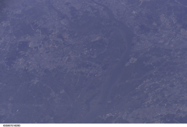
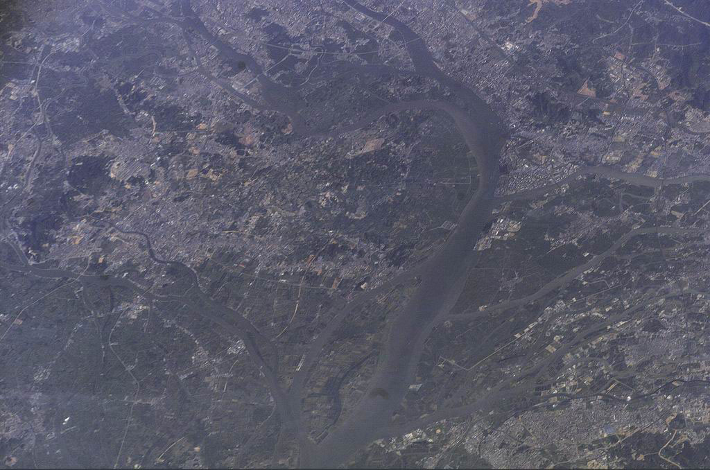
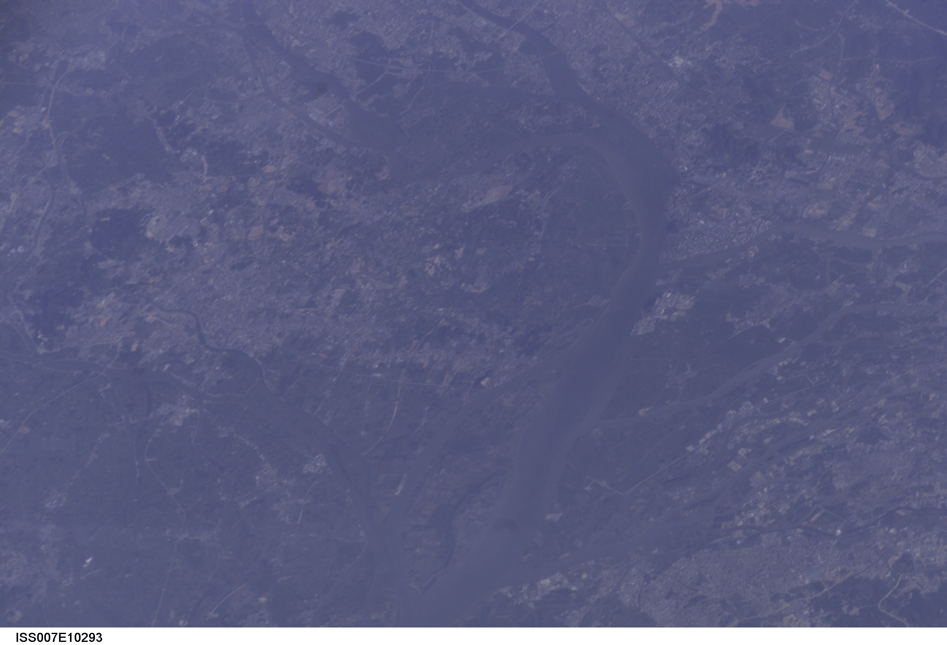
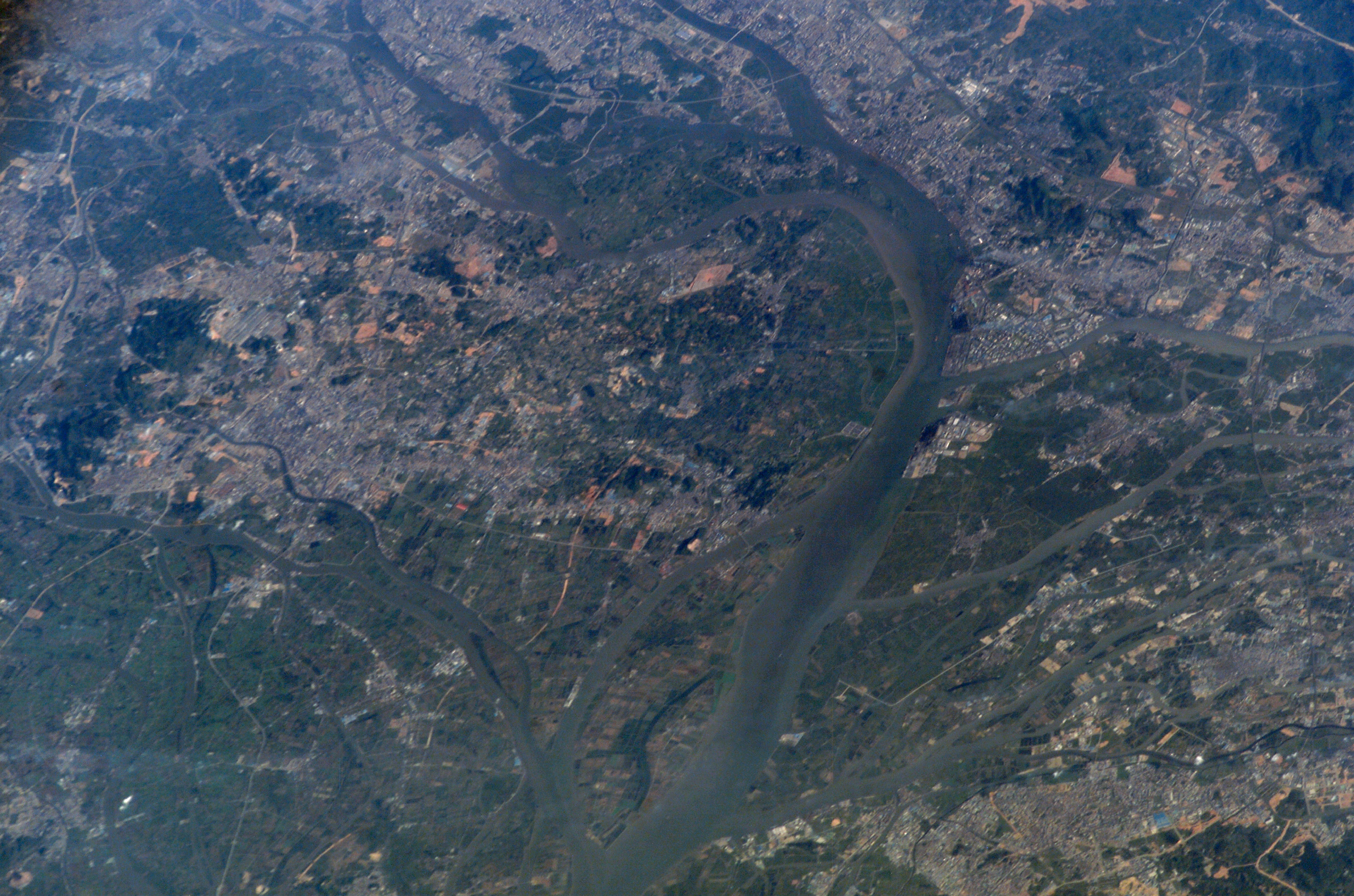
ISS007-E-10293
| NASA Photo ID | ISS007-E-10293 |
| Focal Length | 400mm |
| Date taken | 2003.07.14 |
| Time taken | 23:36:34 GMT |
Resolutions offered for this image:
1024 x 678 pixels 540 x 358 pixels 3032 x 2064 pixels 6144 x 4068 pixels 639 x 435 pixels
1024 x 678 pixels 540 x 358 pixels 3032 x 2064 pixels 6144 x 4068 pixels 639 x 435 pixels

Cloud masks available for this image:
Spacecraft nadir point: 19.1° N, 118.0° E
Photo center point: 23.0° N, 113.5° E
Photo center point by machine learning:
Photo center point: 23.0° N, 113.5° E
Photo center point by machine learning:
Nadir to Photo Center: Northwest
Spacecraft Altitude: 210 nautical miles (389km)
Camera: | Kodak DCS760c Electronic Still Camera |
Focal Length: | 400mm |
Camera Tilt: | High Oblique |
Format: | 3060E: 3060 x 2036 pixel CCD, RGBG array |
Film Exposure: | |
| Additional Information | |
| Width | Height | Annotated | Cropped | Purpose | Links |
|---|---|---|---|---|---|
| 1024 pixels | 678 pixels | Photographic Highlights | Download Image | ||
| 540 pixels | 358 pixels | Photographic Highlights | Download Image | ||
| 3032 pixels | 2064 pixels | No | No | Download Image | |
| 6144 pixels | 4068 pixels | No | No | Presentation | Download Image |
| 639 pixels | 435 pixels | No | No | Download Image |
Download Packaged File
Download a Google Earth KML for this Image
View photo footprint information
Download a GeoTIFF for this photo
Image Caption: none
