ISS006-E-22010
| NASA Photo ID | ISS006-E-22010 |
| Focal Length | 400mm |
| Date taken | 2003.01.30 |
| Time taken | 11:33:20 GMT |
Resolutions offered for this image:
639 x 435 pixels
639 x 435 pixels
Cloud masks available for this image:
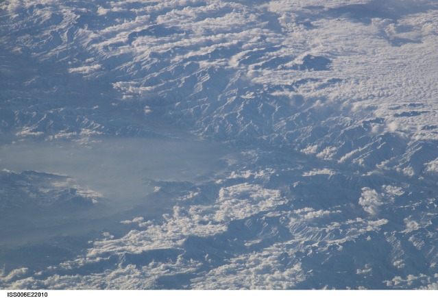
Spacecraft nadir point: 31.3° N, 77.9° E
Photo center point: 35.1° N, 69.2° E
Photo center point by machine learning:
Photo center point: 35.1° N, 69.2° E
Photo center point by machine learning:
Nadir to Photo Center: West
Spacecraft Altitude: 206 nautical miles (382km)
Country or Geographic Name: | AFGHANISTAN |
Features: | HINDU KUSH MTS., GOLBAHAR, HAZE |
| Features Found Using Machine Learning: | |
Cloud Cover Percentage: | 25 (11-25)% |
Sun Elevation Angle: | 9° |
Sun Azimuth: | 243° |
Camera: | Kodak DCS760c Electronic Still Camera |
Focal Length: | 400mm |
Camera Tilt: | High Oblique |
Format: | 3060E: 3060 x 2036 pixel CCD, RGBG array |
Film Exposure: | |
| Additional Information | |
| Width | Height | Annotated | Cropped | Purpose | Links |
|---|---|---|---|---|---|
| 639 pixels | 435 pixels | No | No | Download Image |
Download Packaged File
Download a Google Earth KML for this Image
View photo footprint information
Download a GeoTIFF for this photo
Image Caption: none
