ISS006-E-21386

| NASA Photo ID | ISS006-E-21386 |
| Focal Length | 28mm |
| Date taken | 2003.01.18 |
| Time taken | 09:08:47 GMT |
Resolutions offered for this image:
3032 x 2004 pixels 1000 x 661 pixels 350 x 216 pixels 3032 x 2064 pixels 639 x 435 pixels
3032 x 2004 pixels 1000 x 661 pixels 350 x 216 pixels 3032 x 2064 pixels 639 x 435 pixels


Cloud masks available for this image:
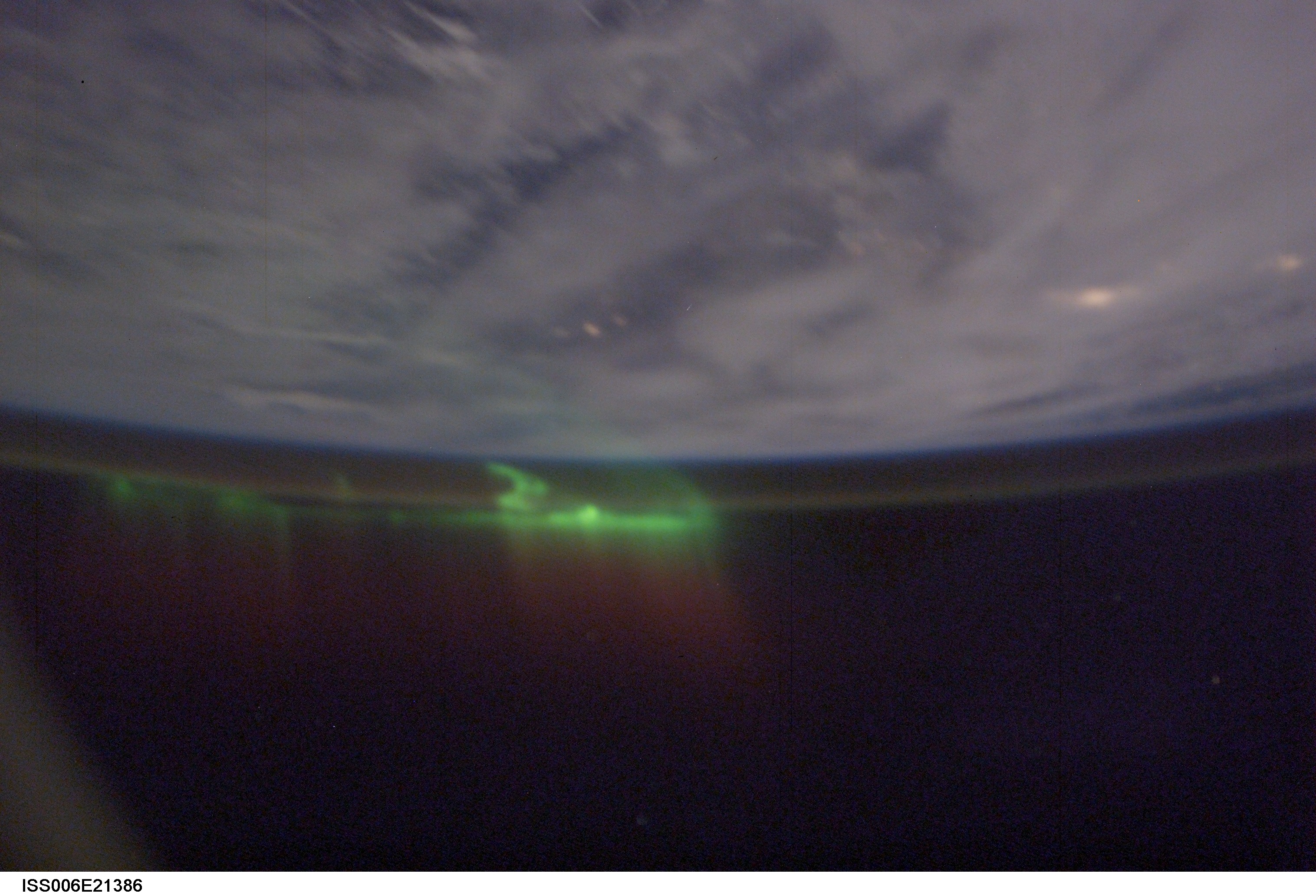
Spacecraft nadir point: 51.4° N, 101.7° W
Photo center point:
Photo center point by machine learning:
Photo center point:
Photo center point by machine learning:
Nadir to Photo Center: Southeast
Spacecraft Altitude: 205 nautical miles (380km)
Country or Geographic Name: | AURORA |
Features: | AURORA BOREALIS, LIGHTNING |
| Features Found Using Machine Learning: | AURORA |
Cloud Cover Percentage: | 100 (76-100)% |
Sun Elevation Angle: | -50° |
Sun Azimuth: | 52° |
Camera: | Kodak DCS760c Electronic Still Camera |
Focal Length: | 28mm |
Camera Tilt: | High Oblique |
Format: | 3060E: 3060 x 2036 pixel CCD, RGBG array |
Film Exposure: | |
| Additional Information | |
| Width | Height | Annotated | Cropped | Purpose | Links |
|---|---|---|---|---|---|
| 3032 pixels | 2004 pixels | Earth From Space collection | Download Image | ||
| 1000 pixels | 661 pixels | No | Yes | NASA's Earth Observatory web site | Download Image |
| 350 pixels | 216 pixels | Yes | NASA's Earth Observatory web site | Download Image | |
| 3032 pixels | 2064 pixels | No | No | Download Image | |
| 639 pixels | 435 pixels | No | No | Download Image |
Download Packaged File
Download a Google Earth KML for this Image
View photo footprint information
Download a GeoTIFF for this photo
Image Caption: none
