ISS004-E-8368

| NASA Photo ID | ISS004-E-8368 |
| Focal Length | 400mm |
| Date taken | 2002.03.03 |
| Time taken | 20:33:08 GMT |
Resolutions offered for this image:
3032 x 2064 pixels 1200 x 816 pixels 3032 x 2064 pixels 639 x 435 pixels
3032 x 2064 pixels 1200 x 816 pixels 3032 x 2064 pixels 639 x 435 pixels


Cloud masks available for this image:
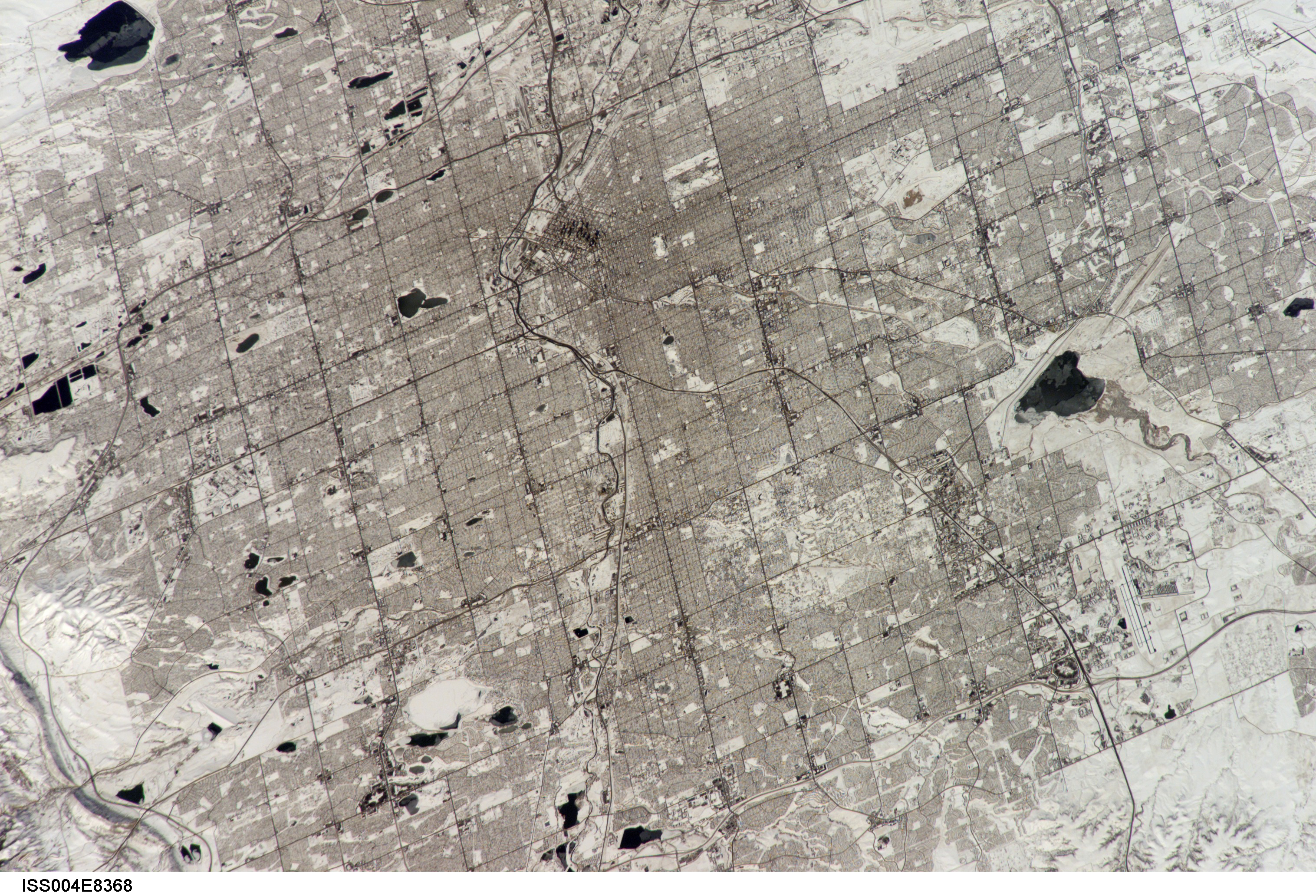
Spacecraft nadir point: 38.1° N, 105.7° W
Photo center point: 39.5° N, 105.0° W
Photo center point by machine learning:
Photo center point: 39.5° N, 105.0° W
Photo center point by machine learning:
Nadir to Photo Center: Northeast
Spacecraft Altitude: 200 nautical miles (370km)
Country or Geographic Name: | USA-COLORADO |
Features: | DENVER, SNOW, STREET PATTERNS |
| Features Found Using Machine Learning: | |
Cloud Cover Percentage: | 10 (1-10)% |
Sun Elevation Angle: | 42° |
Sun Azimuth: | 207° |
Camera: | Kodak DCS760c Electronic Still Camera |
Focal Length: | 400mm |
Camera Tilt: | 25 degrees |
Format: | 3060E: 3060 x 2036 pixel CCD, RGBG array |
Film Exposure: | |
| Additional Information | |
| Width | Height | Annotated | Cropped | Purpose | Links |
|---|---|---|---|---|---|
| 3032 pixels | 2064 pixels | Yes | No | Cities collection | Download Image |
| 1200 pixels | 816 pixels | Yes | No | Cities collection | Download Image |
| 3032 pixels | 2064 pixels | No | No | Download Image | |
| 639 pixels | 435 pixels | No | No | Download Image |
Download Packaged File
Download a Google Earth KML for this Image
View photo footprint information
Download a GeoTIFF for this photo
Image Caption: none
