ISS004-E-11196
| NASA Photo ID | ISS004-E-11196 |
| Focal Length | 180mm |
| Date taken | 2002.05.03 |
| Time taken | 17:55:17 GMT |
Resolutions offered for this image:
2001 x 2717 pixels 883 x 1200 pixels 3032 x 2064 pixels 639 x 435 pixels
2001 x 2717 pixels 883 x 1200 pixels 3032 x 2064 pixels 639 x 435 pixels
Cloud masks available for this image:
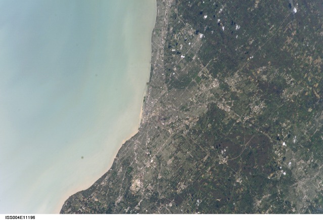
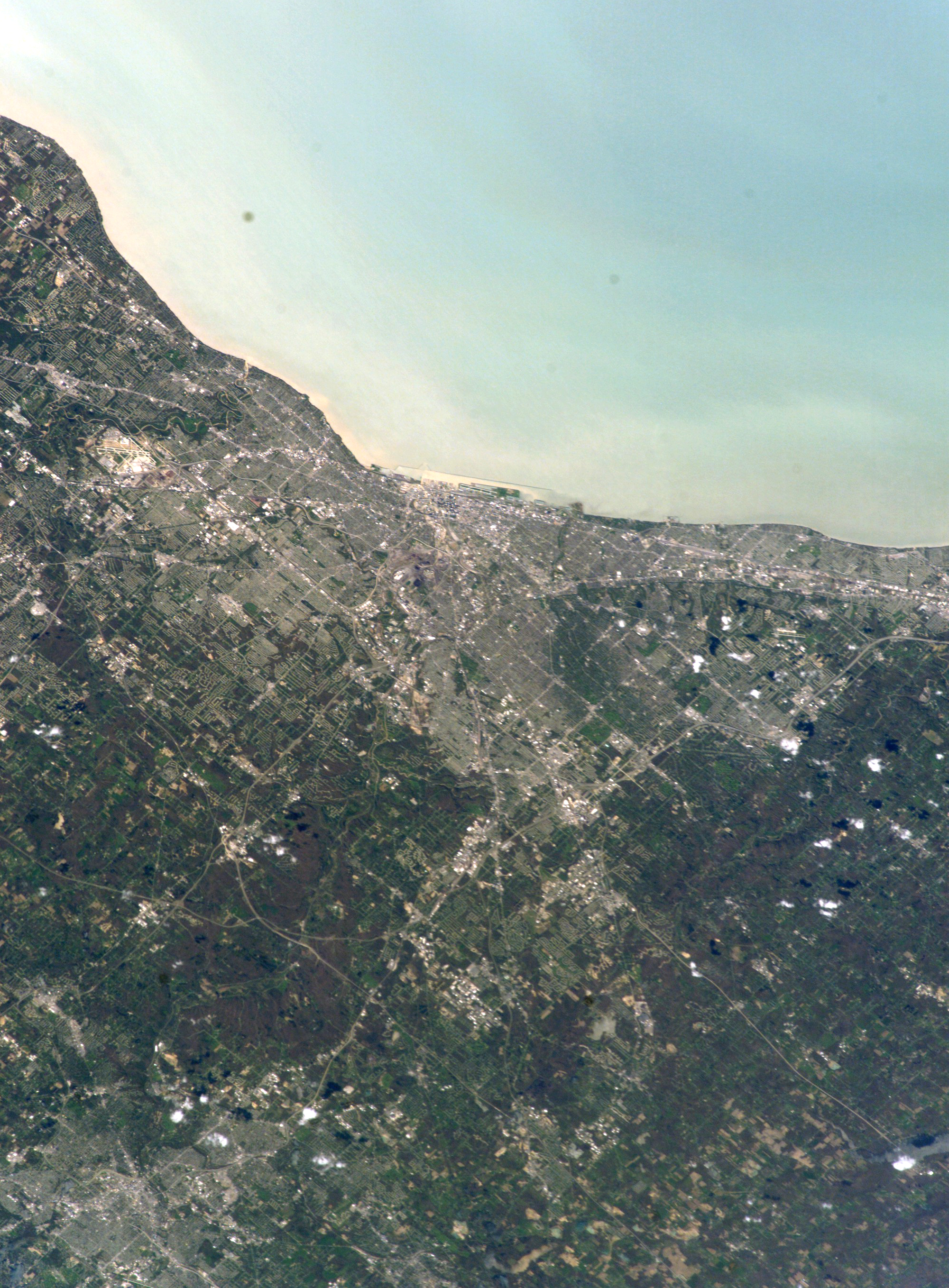
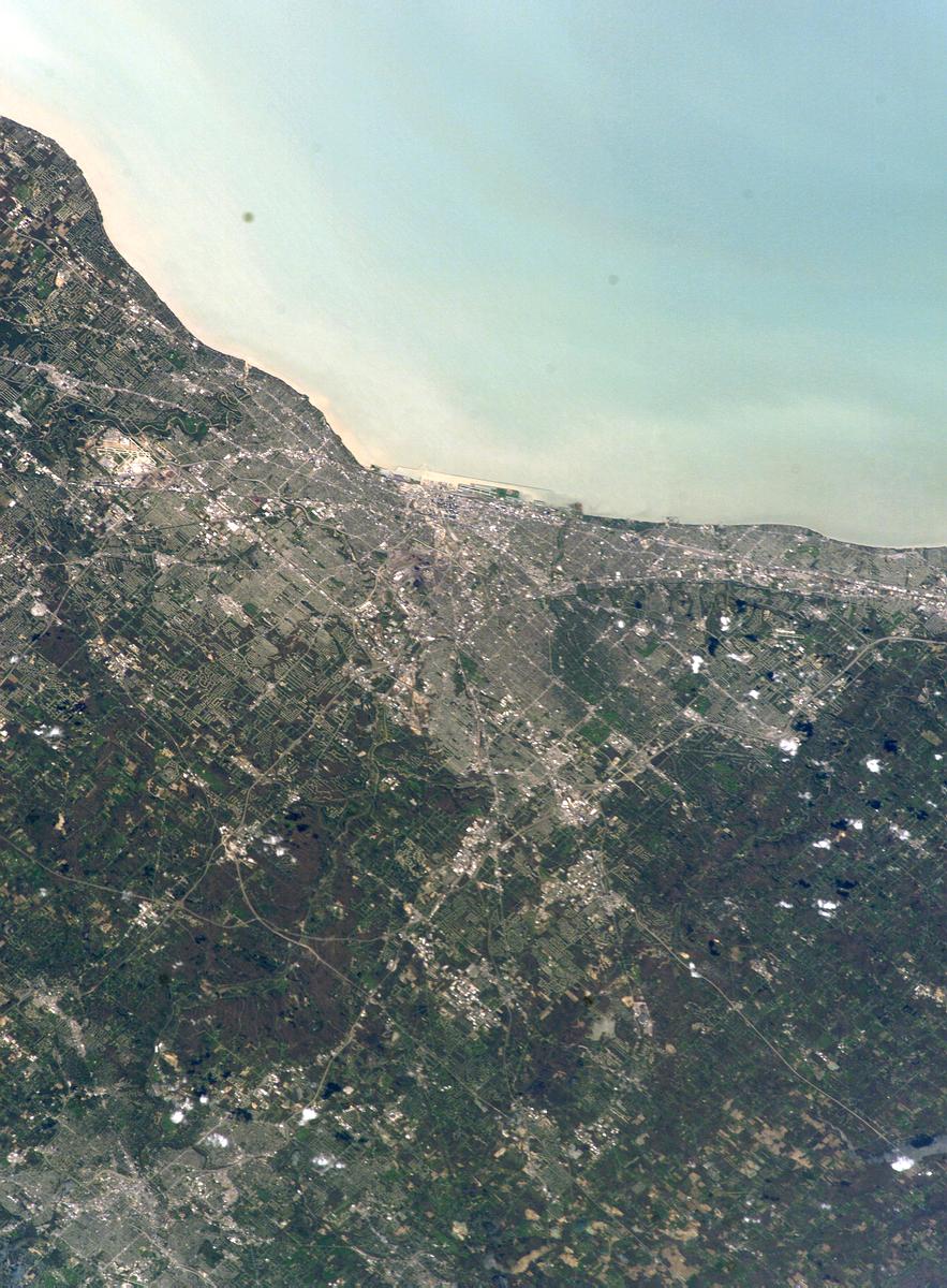
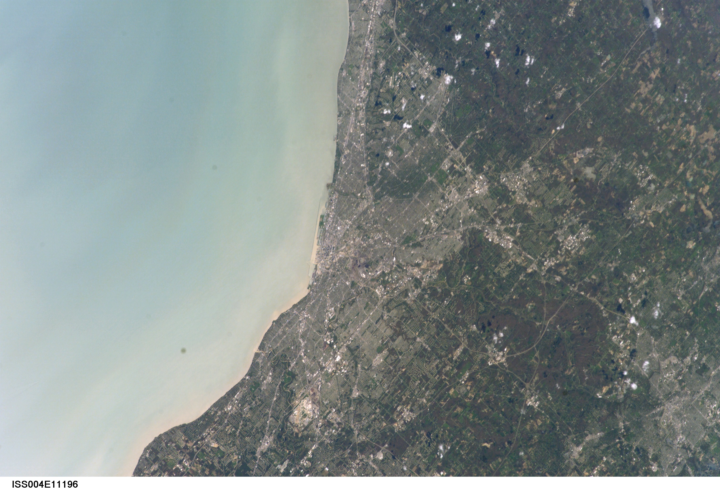
Spacecraft nadir point: 41.3° N, 77.6° W
Photo center point: 41.5° N, 81.5° W
Photo center point by machine learning:
Photo center point: 41.5° N, 81.5° W
Photo center point by machine learning:
Nadir to Photo Center: West
Spacecraft Altitude: 209 nautical miles (387km)
Camera: | Kodak DCS760c Electronic Still Camera |
Focal Length: | 180mm |
Camera Tilt: | 48 degrees |
Format: | 3060E: 3060 x 2036 pixel CCD, RGBG array |
Film Exposure: | |
| Additional Information | |
| Width | Height | Annotated | Cropped | Purpose | Links |
|---|---|---|---|---|---|
| 2001 pixels | 2717 pixels | Yes | Yes | Cities collection | Download Image |
| 883 pixels | 1200 pixels | Yes | Yes | Cities collection | Download Image |
| 3032 pixels | 2064 pixels | No | No | Download Image | |
| 639 pixels | 435 pixels | No | No | Download Image |
Download Packaged File
Download a Google Earth KML for this Image
View photo footprint information
Download a GeoTIFF for this photo
Image Caption: none
