ISS002-E-7701
| NASA Photo ID | ISS002-E-7701 |
| Focal Length | 48mm |
| Date taken | 2001.06.21 |
| Time taken | 14:11:56 GMT |
Cloud masks available for this image:
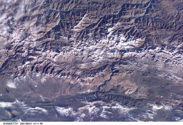
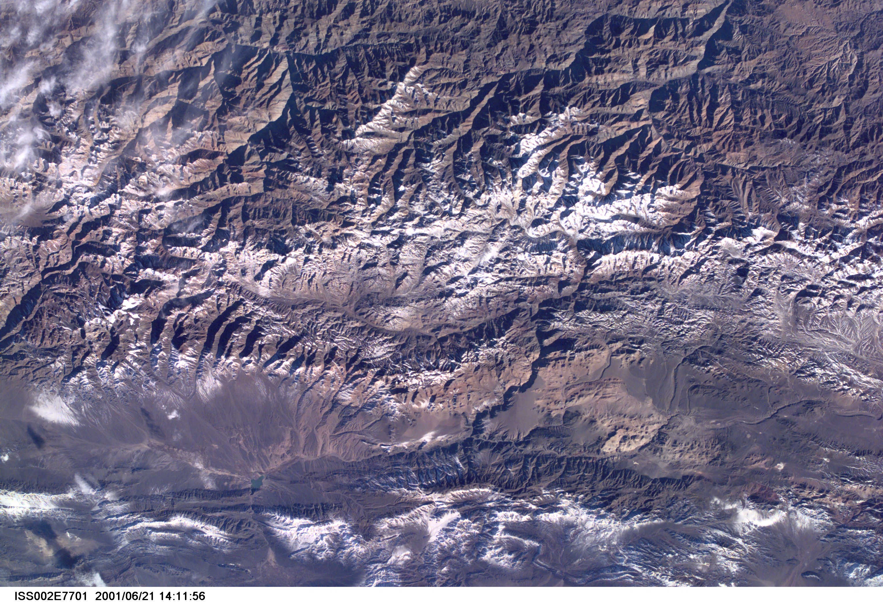
Spacecraft nadir point: 37.7° N, 86.0° E
Photo center point: 30.0° S, 65.5° W
Photo center point by machine learning:
Photo center point: 30.0° S, 65.5° W
Photo center point by machine learning:
Nadir to Photo Center: West
Spacecraft Altitude: 200 nautical miles (370km)
Country or Geographic Name: | ARGENTINA |
Features: | PALCA RIVER, ANDES |
| Features Found Using Machine Learning: | |
Cloud Cover Percentage: | 10 (1-10)% |
Sun Elevation Angle: | -6° |
Sun Azimuth: | 306° |
Camera: | Kodak DCS460 Electronic Still Camera |
Focal Length: | 48mm |
Camera Tilt: | High Oblique |
Format: | 3060E: 3060 x 2036 pixel CCD, RGBG array |
Film Exposure: | |
| Additional Information | |
| Width | Height | Annotated | Cropped | Purpose | Links |
|---|---|---|---|---|---|
| 3060 pixels | 2092 pixels | No | No | Download Image | |
| 640 pixels | 437 pixels | No | No | Download Image |
Download Packaged File
Download a Google Earth KML for this Image
View photo footprint information
Download a GeoTIFF for this photo
Image Caption: none
