ISS002-E-6244
| NASA Photo ID | ISS002-E-6244 |
| Focal Length | 800mm |
| Date taken | 2001.05.15 |
| Time taken | 06:22:47 GMT |

Cloud masks available for this image:
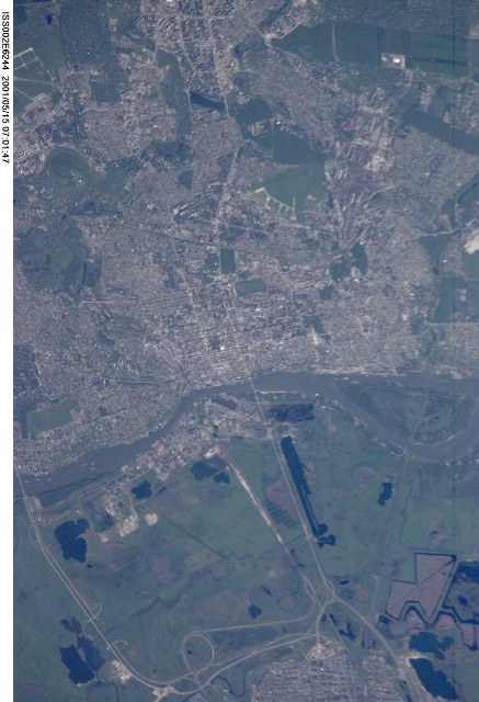
Spacecraft nadir point: 49.7° N, 37.6° E
Photo center point: 47.0° N, 40.0° E
Photo center point by machine learning:
Photo center point: 47.0° N, 40.0° E
Photo center point by machine learning:
Nadir to Photo Center: Southeast
Spacecraft Altitude: 202 nautical miles (374km)
Country or Geographic Name: | RUSSIAN FEDERATION |
Features: | ROSTOV-NA-DONU |
| Features Found Using Machine Learning: | |
Cloud Cover Percentage: | 0 (no clouds present) |
Sun Elevation Angle: | 42° |
Sun Azimuth: | 113° |
Camera: | Kodak DCS460 Electronic Still Camera |
Focal Length: | 800mm |
Camera Tilt: | 47 degrees |
Format: | 3060E: 3060 x 2036 pixel CCD, RGBG array |
Film Exposure: | |
| Additional Information | |
| Width | Height | Annotated | Cropped | Purpose | Links |
|---|---|---|---|---|---|
| 2092 pixels | 3060 pixels | No | No | Download Image | |
| 437 pixels | 640 pixels | No | No | Download Image |
Download Packaged File
Download a Google Earth KML for this Image
View photo footprint information
Download a GeoTIFF for this photo
Image Caption: none
