ISS002-E-5469

| NASA Photo ID | ISS002-E-5469 |
| Focal Length | 105mm |
| Date taken | 2001.04.13 |
| Time taken | 20:42:58 GMT |
Cloud masks available for this image:
Spacecraft nadir point: 27.8° N, 75.3° W
Photo center point: 26.5° N, 80.0° W
Photo center point by machine learning:
Photo center point: 26.5° N, 80.0° W
Photo center point by machine learning:
Nadir to Photo Center: West
Spacecraft Altitude: 209 nautical miles (387km)
Country or Geographic Name: | USA-FLORIDA |
Features: | W. PALM BEACH, SUNGLINT |
| Features Found Using Machine Learning: | |
Cloud Cover Percentage: | 50 (26-50)% |
Sun Elevation Angle: | 35° |
Sun Azimuth: | 262° |
Camera: | Kodak DCS460 Electronic Still Camera |
Focal Length: | 105mm |
Camera Tilt: | 55 degrees |
Format: | 3060E: 3060 x 2036 pixel CCD, RGBG array |
Film Exposure: | |
| Additional Information | |
| Width | Height | Annotated | Cropped | Purpose | Links |
|---|---|---|---|---|---|
| 3060 pixels | 2092 pixels | No | No | Download Image | |
| 640 pixels | 437 pixels | No | No | Download Image |
Download Packaged File
Download a Google Earth KML for this Image
View photo footprint information
Download a GeoTIFF for this photo
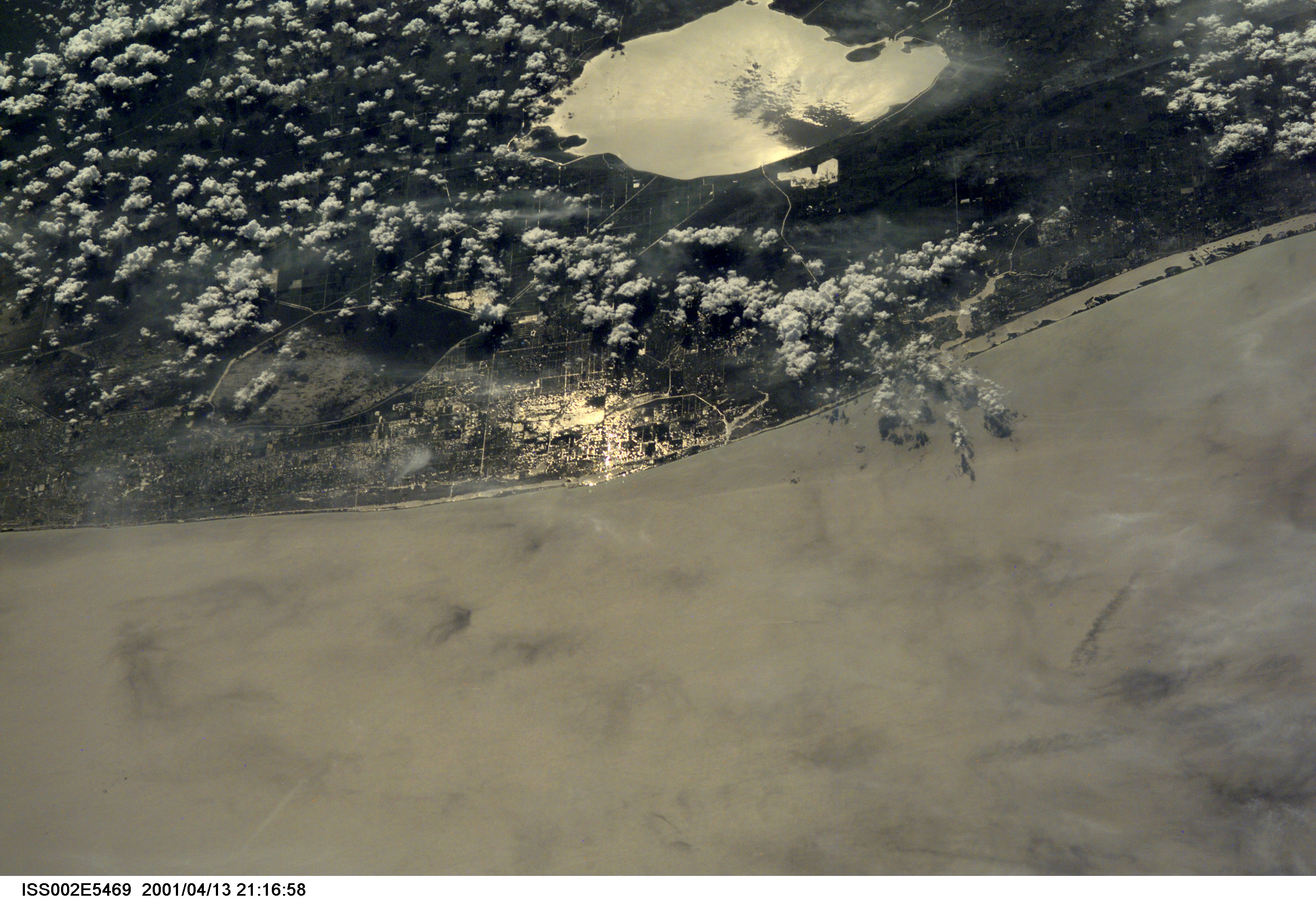
Image Caption: ISS002-E-5469 (13 April 2001) --- The Atlantic Coast of parts of southern Florida was captured with a digital still camera by one of the Expedition Two crew members aboard the International Space Station (ISS). Among recognizable points are Palm Beach, West Palm Beach (near center frame), the Indian River (near the coast) and Lake Okeechobee (top center). This was one of a series of images of southern Florida that were
captured by the Expedition Two crew on April 13, 2001.
captured by the Expedition Two crew on April 13, 2001.
