ISS002-E-5302
| NASA Photo ID | ISS002-E-5302 |
| Focal Length | 800mm |
| Date taken | 2001.04.17 |
| Time taken | 15:06:59 GMT |
Resolutions offered for this image:
640 x 437 pixels
640 x 437 pixels
Cloud masks available for this image:
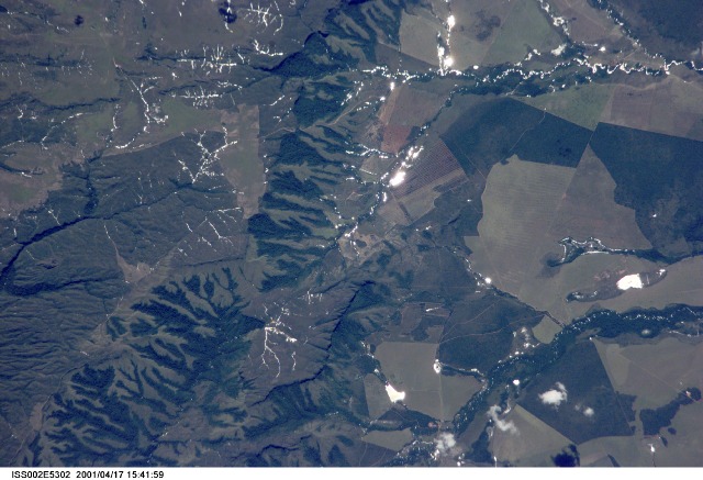
Spacecraft nadir point: 18.1° S, 53.6° W
Photo center point: 18.0° S, 52.0° W
Photo center point by machine learning:
Photo center point: 18.0° S, 52.0° W
Photo center point by machine learning:
Nadir to Photo Center: East
Spacecraft Altitude: 206 nautical miles (382km)
Country or Geographic Name: | BRAZIL |
Features: | AGRICULTURE, GLINT |
| Features Found Using Machine Learning: | |
Cloud Cover Percentage: | 10 (1-10)% |
Sun Elevation Angle: | 61° |
Sun Azimuth: | 14° |
Camera: | Kodak DCS460 Electronic Still Camera |
Focal Length: | 800mm |
Camera Tilt: | 25 degrees |
Format: | 3060E: 3060 x 2036 pixel CCD, RGBG array |
Film Exposure: | |
| Additional Information | |
| Width | Height | Annotated | Cropped | Purpose | Links |
|---|---|---|---|---|---|
| 640 pixels | 437 pixels | No | No | Download Image |
Download Packaged File
Download a Google Earth KML for this Image
View photo footprint information
Download a GeoTIFF for this photo
Image Caption: none
