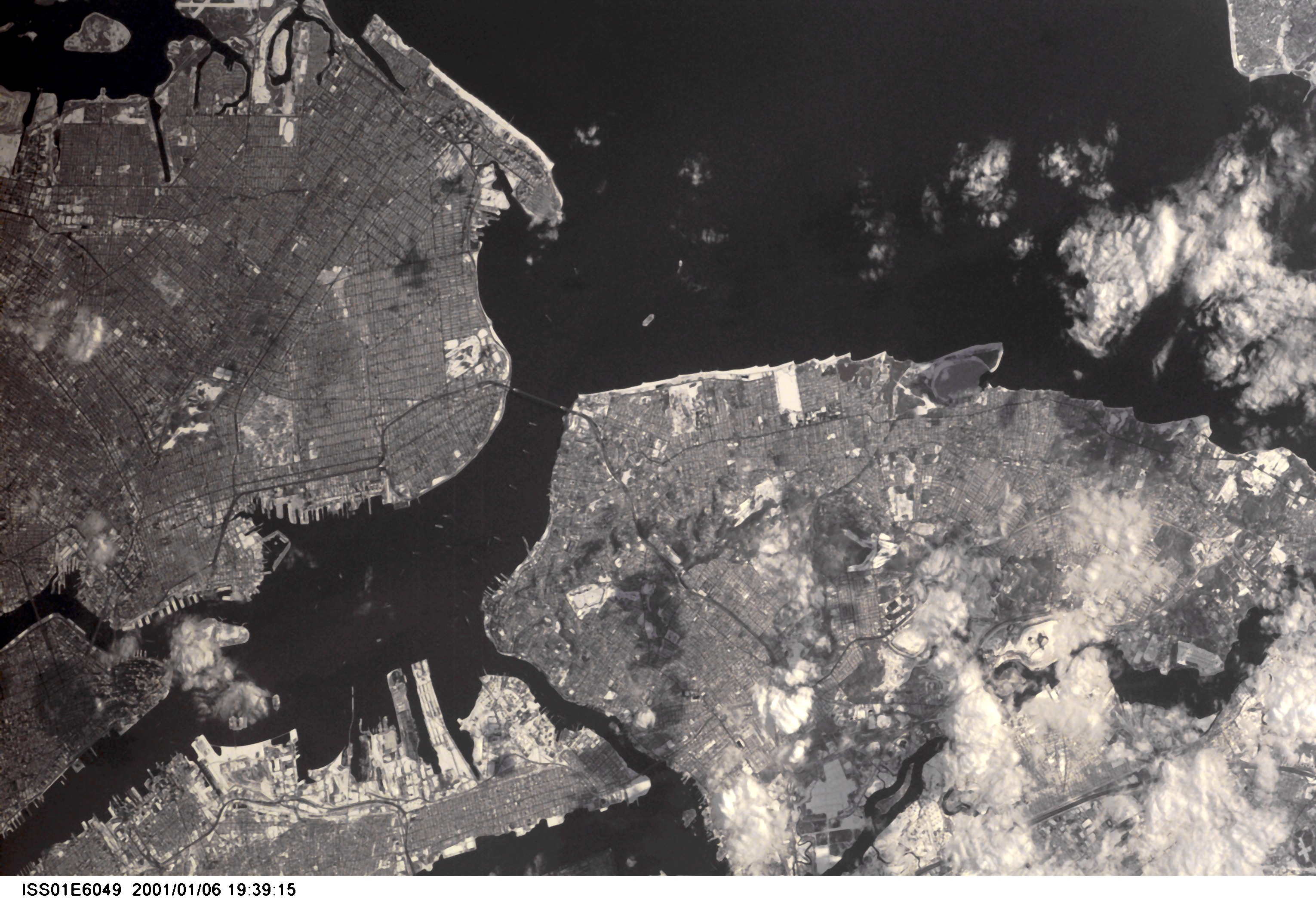
ISS001-E-6049
| NASA Photo ID | ISS001-E-6049 |
| Focal Length | 400mm |
| Date taken | 2001.01.06 |
| Time taken | 19:34:15 GMT |
Resolutions offered for this image:
525 x 768 pixels 369 x 540 pixels 3060 x 2092 pixels 640 x 437 pixels
525 x 768 pixels 369 x 540 pixels 3060 x 2092 pixels 640 x 437 pixels
Cloud masks available for this image:
Spacecraft nadir point: 40.6° N, 77.3° W
Photo center point: 40.5° N, 74.0° W
Photo center point by machine learning:
Photo center point: 40.5° N, 74.0° W
Photo center point by machine learning:
Nadir to Photo Center: East
Spacecraft Altitude: 197 nautical miles (365km)
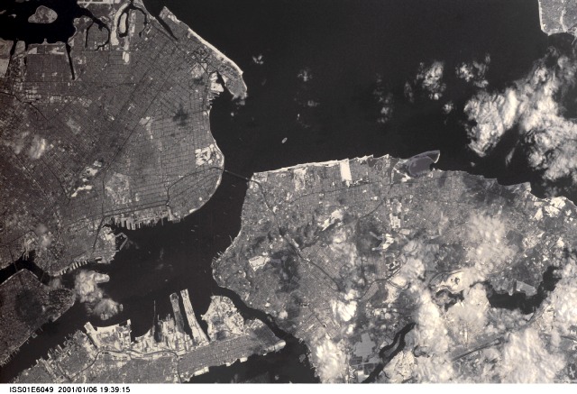
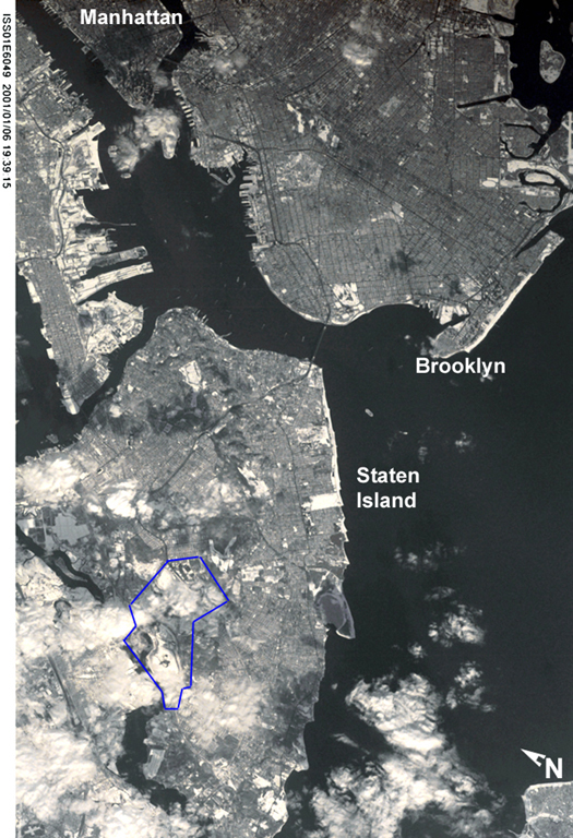
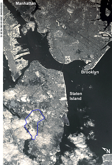
Country or Geographic Name: | USA-NEW YORK |
Features: | STATEN ISLAND, BROOKLYN |
| Features Found Using Machine Learning: | |
Cloud Cover Percentage: | 10 (1-10)% |
Sun Elevation Angle: | 19° |
Sun Azimuth: | 214° |
Camera: | Kodak DCS460 Electronic Still Camera |
Focal Length: | 400mm |
Camera Tilt: | 45 degrees |
Format: | 3060E: 3060 x 2036 pixel CCD, RGBG array |
Film Exposure: | |
| Additional Information | |
| Width | Height | Annotated | Cropped | Purpose | Links |
|---|---|---|---|---|---|
| 525 pixels | 768 pixels | Photographic Highlights | Download Image | ||
| 369 pixels | 540 pixels | Photographic Highlights | Download Image | ||
| 3060 pixels | 2092 pixels | No | No | Download Image | |
| 640 pixels | 437 pixels | No | No | Download Image |
Download Packaged File
Download a Google Earth KML for this Image
View photo footprint information
Download a GeoTIFF for this photo
Image Caption: none
