ISS001-E-5967

| NASA Photo ID | ISS001-E-5967 |
| Focal Length | 180mm |
| Date taken | 2001.01.01 |
| Time taken | 03:19:25 GMT |
Cloud masks available for this image:
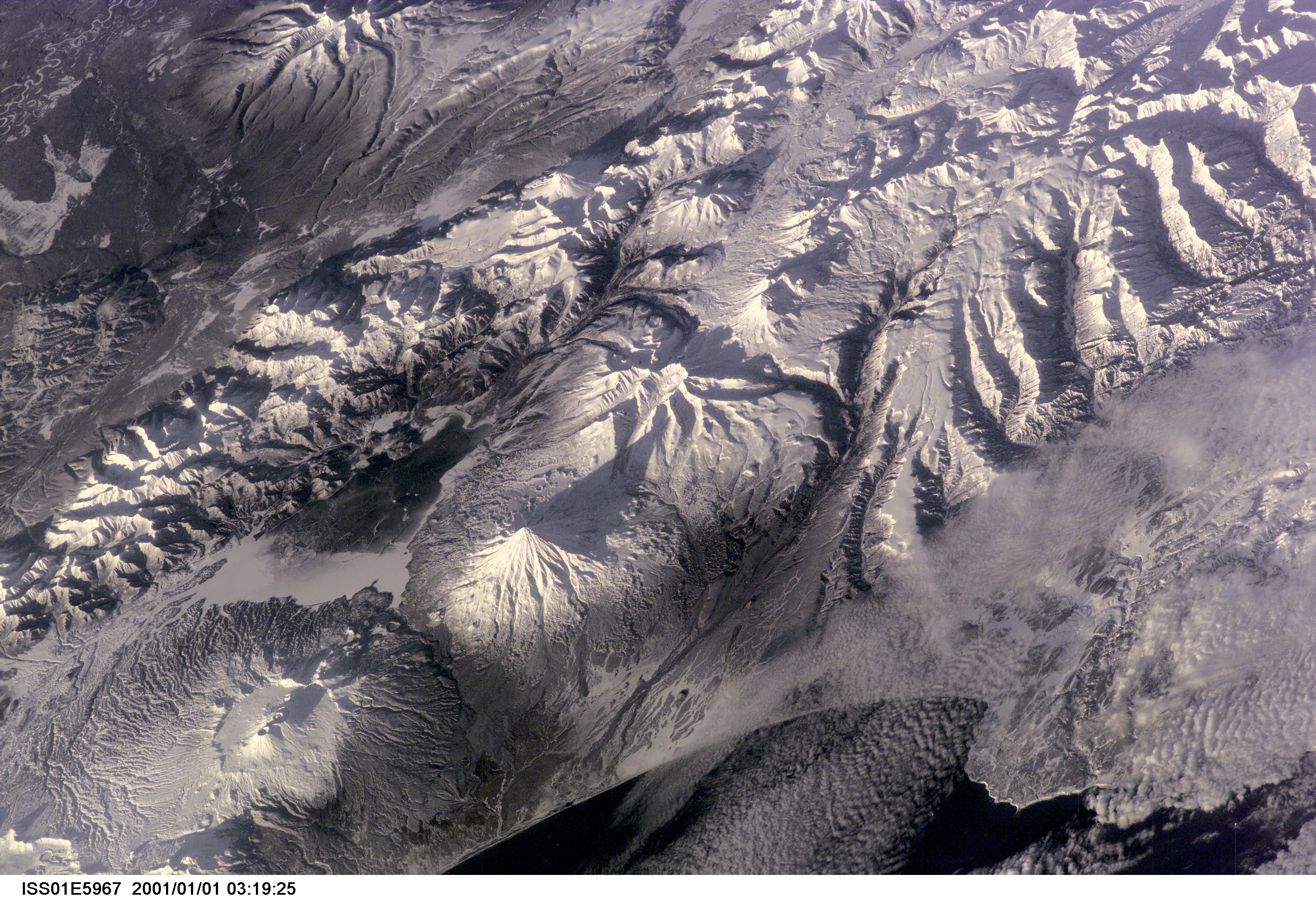
Spacecraft nadir point: 50.0° N, 173.3° E
Photo center point: 55.0° N, 160.5° E
Photo center point by machine learning:
Photo center point: 55.0° N, 160.5° E
Photo center point by machine learning:
Nadir to Photo Center: West
Spacecraft Altitude: 199 nautical miles (369km)
Country or Geographic Name: | RUSSIAN FEDERATION |
Features: | KAMCHATKA VOLCANOES |
| Features Found Using Machine Learning: | |
Cloud Cover Percentage: | 10 (1-10)% |
Sun Elevation Angle: | 8° |
Sun Azimuth: | 219° |
Camera: | Kodak DCS460 Electronic Still Camera |
Focal Length: | 180mm |
Camera Tilt: | High Oblique |
Format: | 3060E: 3060 x 2036 pixel CCD, RGBG array |
Film Exposure: | |
| Additional Information | |
| Width | Height | Annotated | Cropped | Purpose | Links |
|---|---|---|---|---|---|
| 3060 pixels | 2092 pixels | No | No | Download Image | |
| 640 pixels | 437 pixels | No | No | Download Image |
Download Packaged File
Download a Google Earth KML for this Image
View photo footprint information
Download a GeoTIFF for this photo
Image Caption: none
