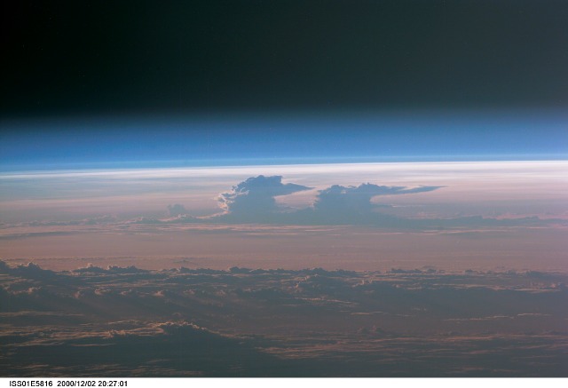
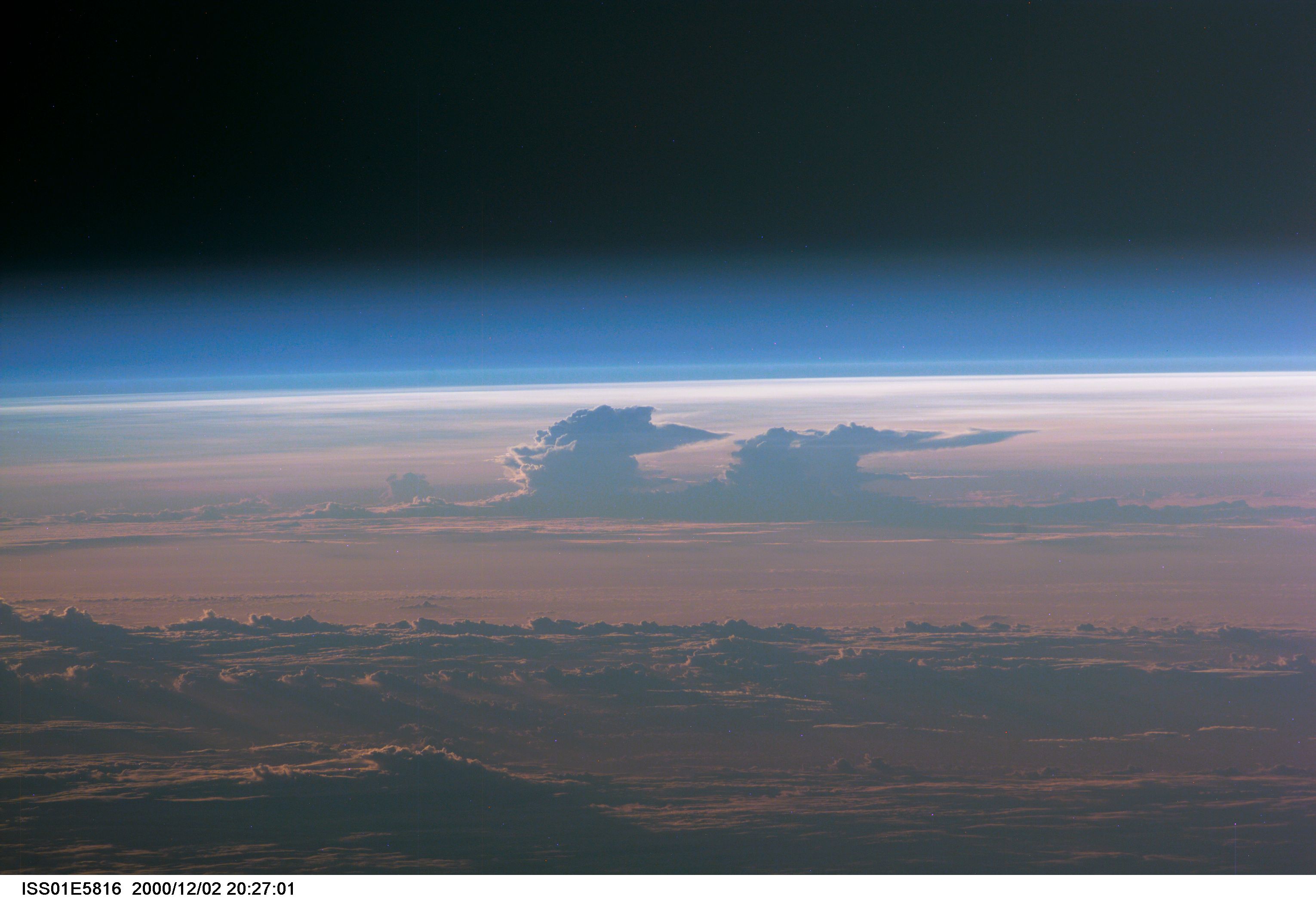
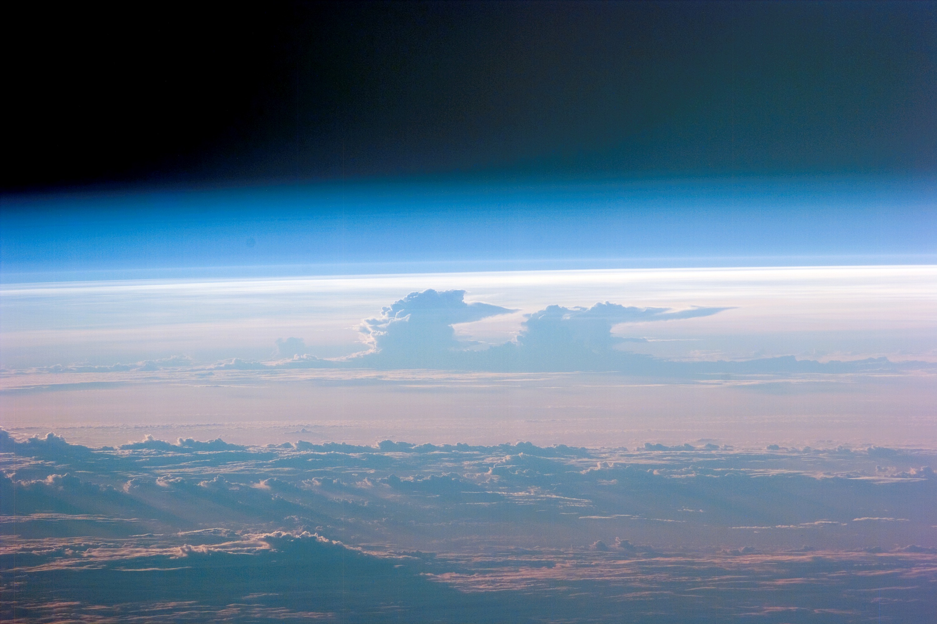
ISS001-E-5816
| NASA Photo ID | ISS001-E-5816 |
| Focal Length | 400mm |
| Date taken | 2000.12.02 |
| Time taken | 20:27:01 GMT |
Cloud masks available for this image:
Spacecraft nadir point: 12.8° S, 174.5° E
Photo center point:
Photo center point by machine learning:
Photo center point:
Photo center point by machine learning:
Nadir to Photo Center:
Spacecraft Altitude: 204 nautical miles (378km)
Country or Geographic Name: | CLOUDS |
Features: | PAN-THUNDERSTORM ANVILS |
| Features Found Using Machine Learning: | PAN- |
Cloud Cover Percentage: | 100 (76-100)% |
Sun Elevation Angle: | 36° |
Sun Azimuth: | 108° |
Camera: | Kodak DCS460 Electronic Still Camera |
Focal Length: | 400mm |
Camera Tilt: | |
Format: | 3060E: 3060 x 2036 pixel CCD, RGBG array |
Film Exposure: | |
| Additional Information | |
| Width | Height | Annotated | Cropped | Purpose | Links |
|---|---|---|---|---|---|
| 3060 pixels | 2092 pixels | No | No | Download Image | |
| 3000 pixels | 2000 pixels | No | No | Download Image | |
| 640 pixels | 437 pixels | No | No | Download Image |
Download Packaged File
Download a Google Earth KML for this Image
View photo footprint information
Download a GeoTIFF for this photo
Image Caption: none
