AST-17-1378
| NASA Photo ID | AST-17-1378 |
| Focal Length | 100mm |
| Date taken | 1975.07.__ |
| Time taken | GMT |
Cloud masks available for this image:
Spacecraft nadir point:
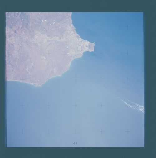
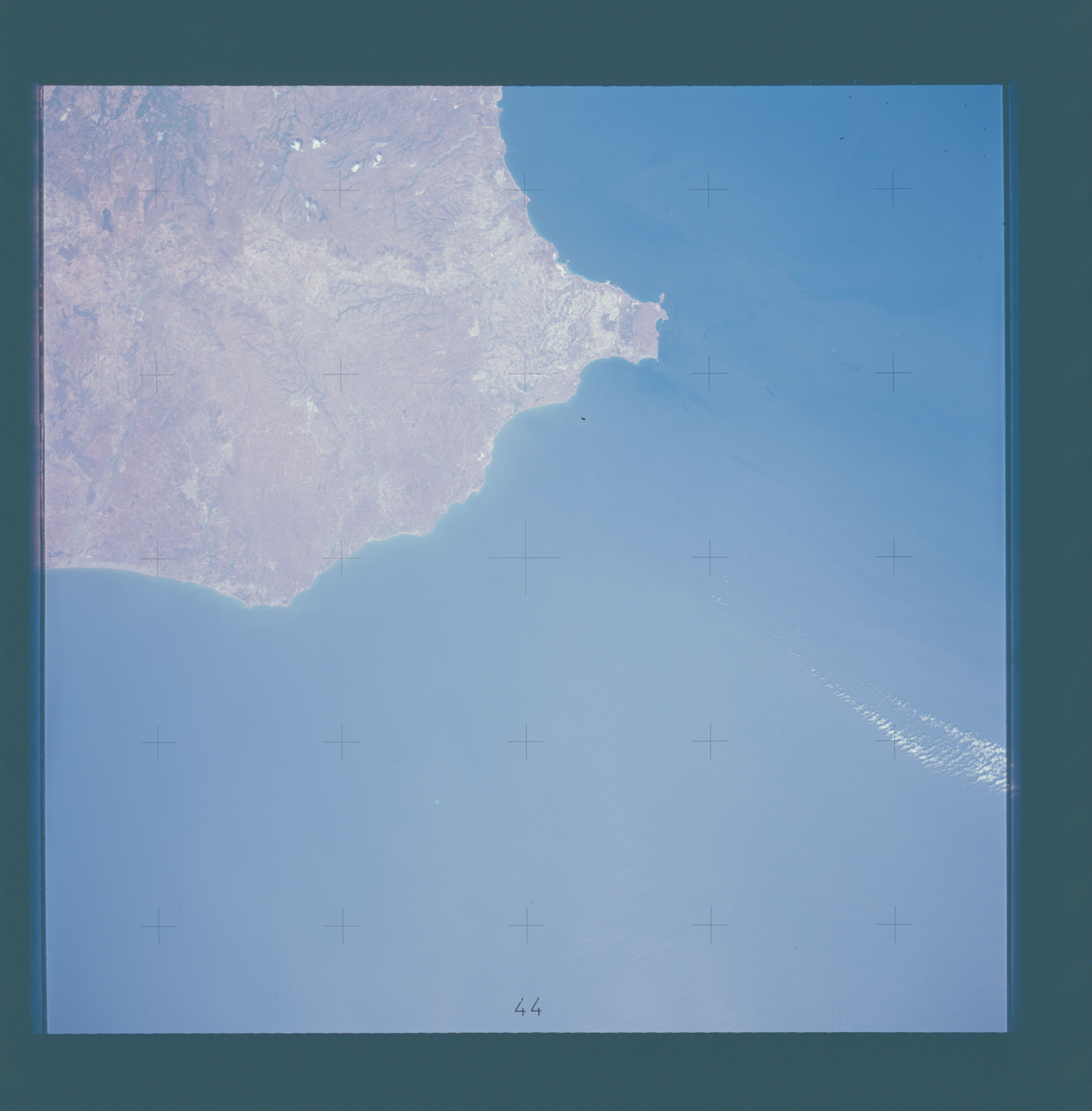
Photo center point: 36.5° N, 15.0° E
Photo center point by machine learning:
Photo center point: 36.5° N, 15.0° E
Photo center point by machine learning:
Nadir to Photo Center:
Spacecraft Altitude: nautical miles (0km)
Country or Geographic Name: | SICILY |
Features: | PACHINO |
| Features Found Using Machine Learning: | |
Cloud Cover Percentage: | 5 (1-10)% |
Sun Elevation Angle: | ° |
Sun Azimuth: | ° |
Camera: | Hasselblad |
Focal Length: | 100mm |
Camera Tilt: | Near Vertical |
Format: | SO242: Kodak hi resolution color |
Film Exposure: | Normal |
| Additional Information | |
| Width | Height | Annotated | Cropped | Purpose | Links |
|---|---|---|---|---|---|
| 5700 pixels | 5800 pixels | No | No | Download Image | |
| 500 pixels | 509 pixels | No | No | Download Image |
Download Packaged File
Download a Google Earth KML for this Image
View photo footprint information
Download a GeoTIFF for this photo
Image Caption: A near vertical view of the most southerly portion of the Island of Sicily in the Mediterranean Sea, as photographed from the Apollo spacecraft in Earth orbit during the joint U.S.-USSR Apollo Soyuz Test Project (ASTP) mission. This view includes the towns of Gala, Pachino, Avela and Pozzalo. The photograph was taken at an altitude of 228 kilometers (141 statute miles).
