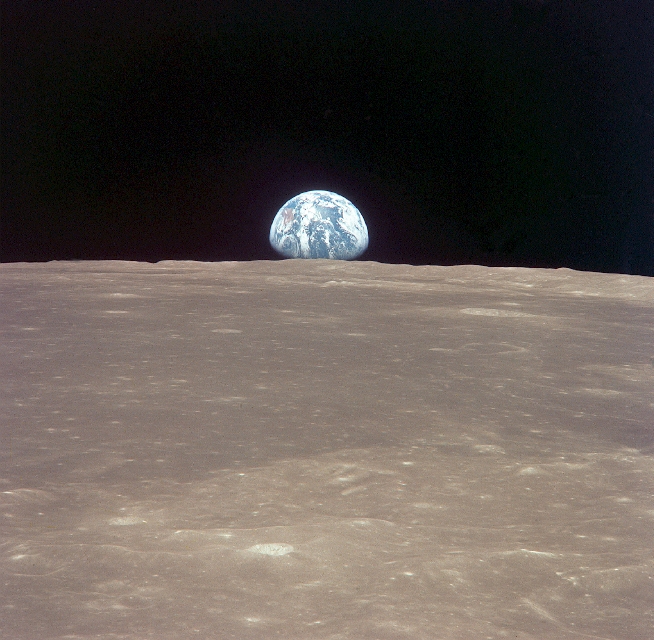
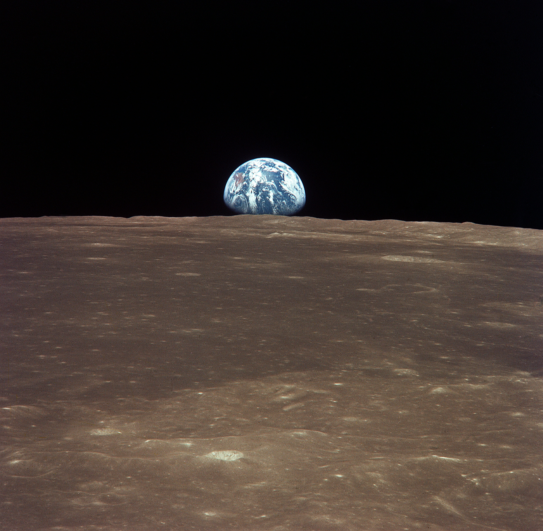
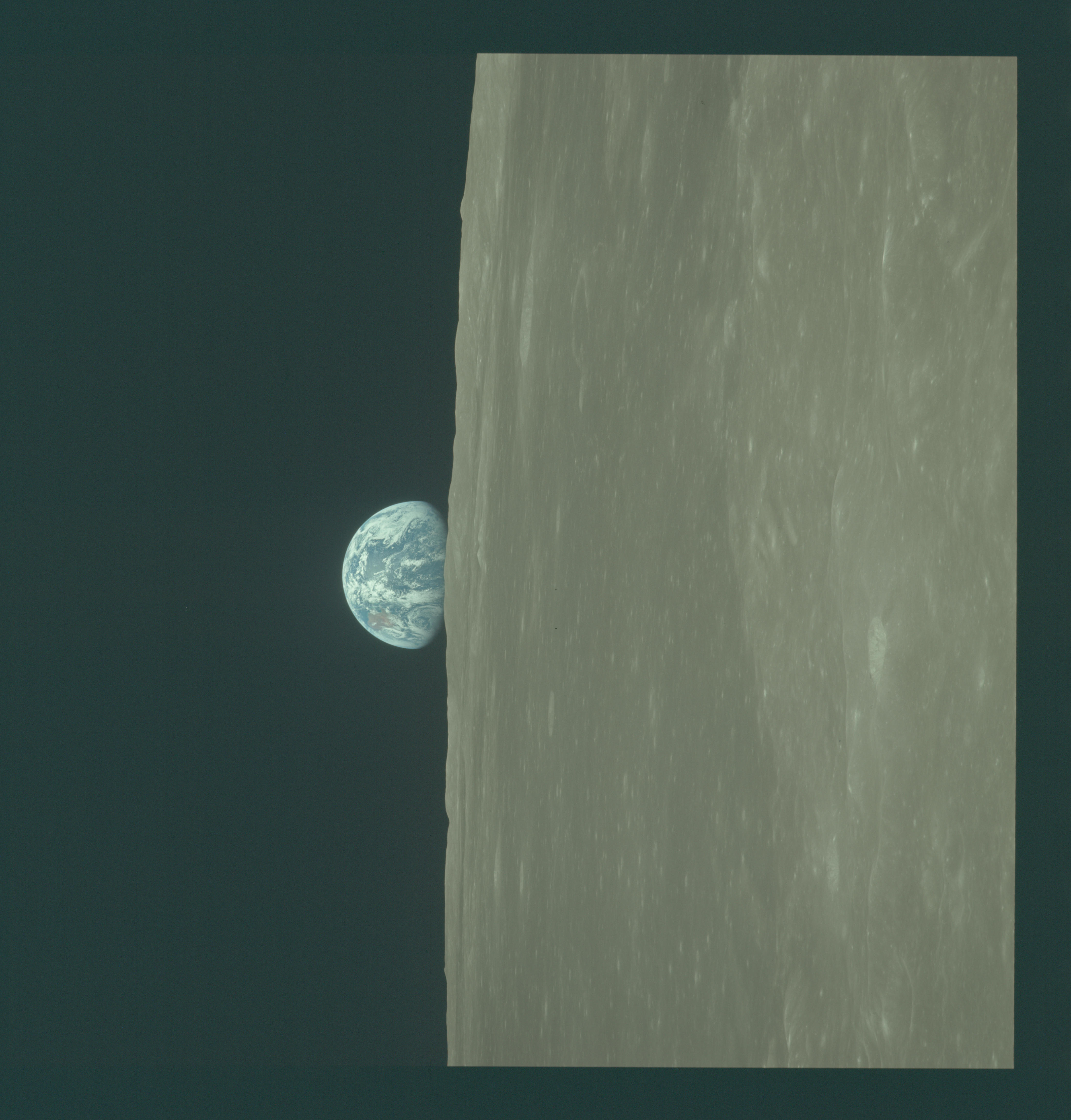
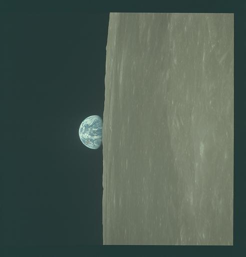
AS11-44-6549
| NASA Photo ID | AS11-44-6549 |
| Focal Length | mm |
| Date taken | 1969.07.__ |
| Time taken | GMT |
Resolutions offered for this image:
1885 x 1844 pixels 2283 x 2394 pixels 4400 x 4600 pixels 654 x 640 pixels 492 x 515 pixels
1885 x 1844 pixels 2283 x 2394 pixels 4400 x 4600 pixels 654 x 640 pixels 492 x 515 pixels

Cloud masks available for this image:
Spacecraft nadir point:
Photo center point:
Photo center point by machine learning:
Photo center point:
Photo center point by machine learning:
Nadir to Photo Center:
Spacecraft Altitude: nautical miles (0km)
Country or Geographic Name: | |
Features: | LUNAR LIMB, EARTHRISE |
| Features Found Using Machine Learning: | |
Cloud Cover Percentage: | |
Sun Elevation Angle: | ° |
Sun Azimuth: | ° |
Camera: | Hasselblad |
Focal Length: | mm |
Camera Tilt: | |
Format: | UNKN: unknown |
Film Exposure: | |
| Additional Information | |
| Width | Height | Annotated | Cropped | Purpose | Links |
|---|---|---|---|---|---|
| 1885 pixels | 1844 pixels | No | No | Download Image | |
| 2283 pixels | 2394 pixels | No | Apollo Image Gallery | Download Image | |
| 4400 pixels | 4600 pixels | No | No | Download Image | |
| 654 pixels | 640 pixels | No | No | Download Image | |
| 492 pixels | 515 pixels | No | No | Download Image |
Download Packaged File
Download a Google Earth KML for this Image
View photo footprint information
Download a GeoTIFF for this photo
Image Caption: This view of the Earth rising over the Moon's horizon was taken from the Apollo 11 spacecraft. The lunar terrain pictured is in the area of Smuth's Sea on the nearside. Coordinates of the center of the terrain are 85 degrees east longitude and 3 degrees north latitude.
