AS10-34-5026
| NASA Photo ID | AS10-34-5026 |
| Focal Length | mm |
| Date taken | |
| Time taken | GMT |

Cloud masks available for this image:
Spacecraft nadir point:
Photo center point:
Photo center point by machine learning:
Photo center point:
Photo center point by machine learning:
Nadir to Photo Center:
Spacecraft Altitude: nautical miles (0km)
Country or Geographic Name: | |
Features: | |
| Features Found Using Machine Learning: | |
Cloud Cover Percentage: | |
Sun Elevation Angle: | ° |
Sun Azimuth: | ° |
Camera: | |
Focal Length: | mm |
Camera Tilt: | |
Format: | |
Film Exposure: | |
| Additional Information | |
| Width | Height | Annotated | Cropped | Purpose | Links |
|---|---|---|---|---|---|
| 4400 pixels | 4600 pixels | No | No | Download Image | |
| 492 pixels | 515 pixels | No | No | Download Image | |
| 6800 pixels | 6820 pixels | No | No | Original file from film scan | Download Image |
Download Packaged File
Download a Google Earth KML for this Image
View photo footprint information
Download a GeoTIFF for this photo
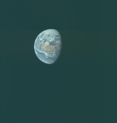
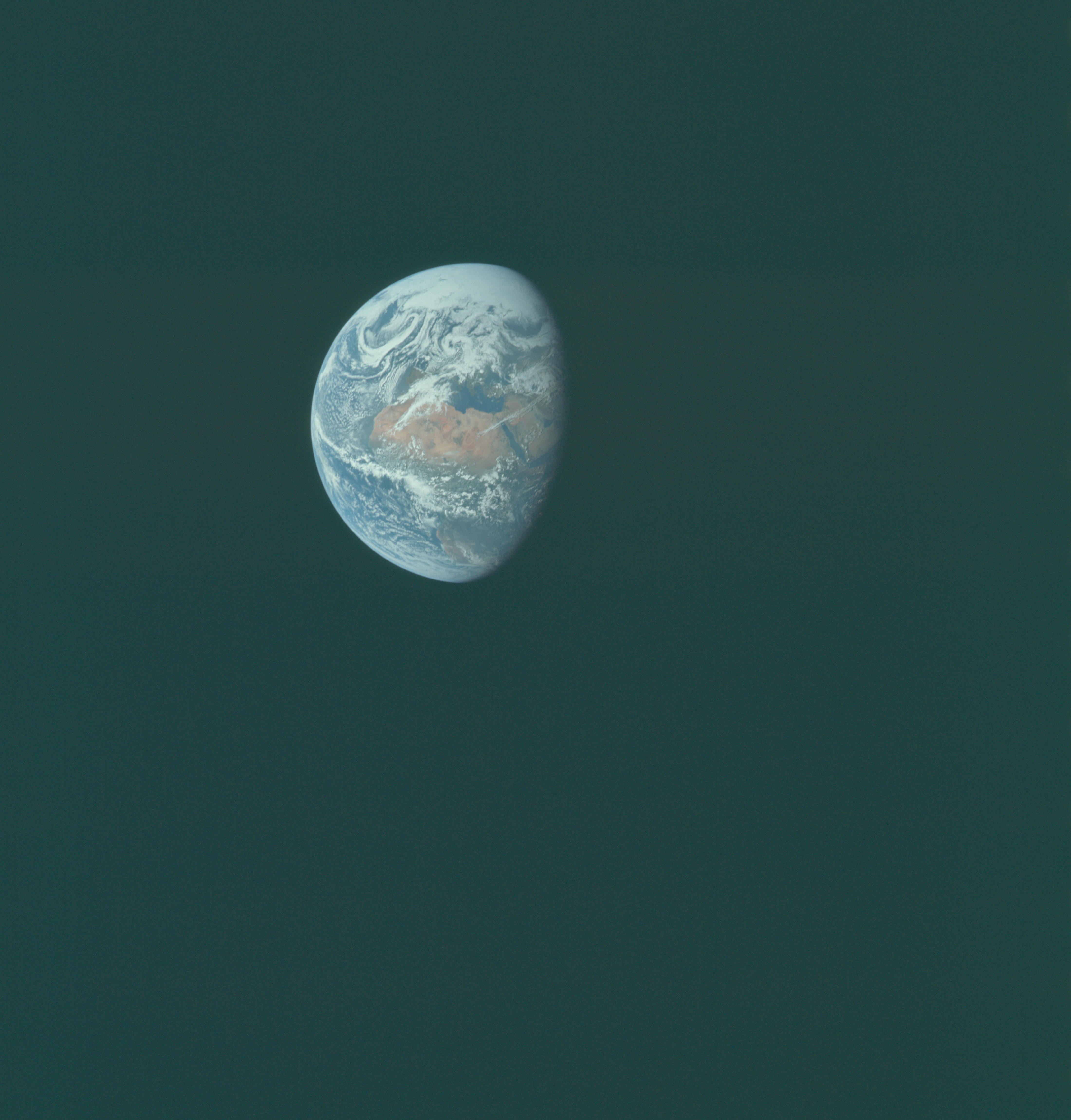
Image Caption: An Apollo 10 view of Earth from 100,000 nautical miles photographed from the spacecraft during its translunar journey toward the Moon. Visible are many areas of Europe and Africa. Among the features and countries identifiable are Portugal, Spain, Italy, Mediterranean Sea, Greece, Turkey, Bulgaria, Black Sea, Libya, Egypt, Saudi Arabia, Sinai Peninsula, Nile Delta, Lake Chad, and South Africa.
