AS09-23-3504

| NASA Photo ID | AS09-23-3504 |
| Focal Length | 80mm |
| Date taken | 1969.03.10 |
| Time taken | 23:37:00 GMT |
Cloud masks available for this image:
Spacecraft nadir point:
Photo center point:
Photo center point by machine learning:
Photo center point:
Photo center point by machine learning:
Nadir to Photo Center:
Spacecraft Altitude: 117 nautical miles (217km)
Camera: | Hasselblad |
Focal Length: | 80mm |
Camera Tilt: | High Oblique |
Format: | SO368: Kodak Ektachrome MS, equivalent to 2448 Kodak Aerochrome, ASA64, thin base, fine grain |
Film Exposure: | Under Exposed |
| Additional Information | |
| Width | Height | Annotated | Cropped | Purpose | Links |
|---|---|---|---|---|---|
| 4400 pixels | 4600 pixels | No | No | Download Image | |
| 492 pixels | 515 pixels | No | No | Download Image |
Download Packaged File
Download a Google Earth KML for this Image
View photo footprint information
Download a GeoTIFF for this photo
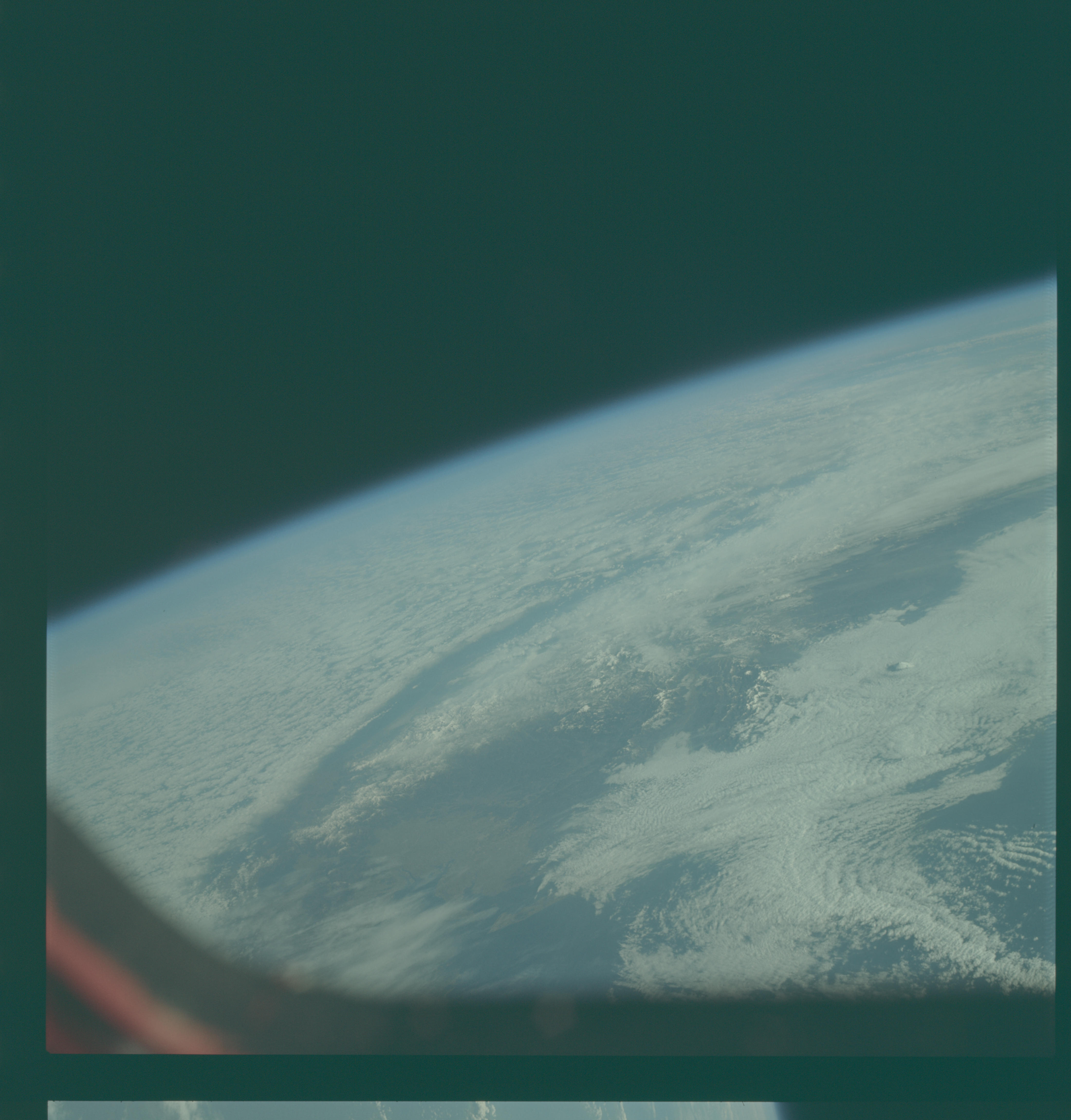
Image Caption: GEOGRAPHY/CARTOGRAPHY: JAPAN, NAGOYA, MT. FUJIYAMA IN THE ISLAND OF HONSHU.
GEOLOGY/HYDROLOGY: VOLCANIC ISLANDS.
METEOROLOGY: ALTO-CUMULUS, STRATO-CUMULUS, CIRRUS..
OCEANOGRAPHY:
GEOLOGY/HYDROLOGY: VOLCANIC ISLANDS.
METEOROLOGY: ALTO-CUMULUS, STRATO-CUMULUS, CIRRUS..
OCEANOGRAPHY:
