AS09-23-3490
| NASA Photo ID | AS09-23-3490 |
| Focal Length | 80mm |
| Date taken | 1969.03.10 |
| Time taken | 16:23:00 GMT |
Cloud masks available for this image:
Spacecraft nadir point:
Photo center point: 15.4° N, 23.6° W
Photo center point by machine learning:
Photo center point: 15.4° N, 23.6° W
Photo center point by machine learning:
Nadir to Photo Center:
Spacecraft Altitude: 99 nautical miles (183km)
Camera: | Hasselblad |
Focal Length: | 80mm |
Camera Tilt: | Near Vertical |
Format: | SO368: Kodak Ektachrome MS, equivalent to 2448 Kodak Aerochrome, ASA64, thin base, fine grain |
Film Exposure: | Under Exposed |
| Additional Information | |
| Width | Height | Annotated | Cropped | Purpose | Links |
|---|---|---|---|---|---|
| 4400 pixels | 4600 pixels | No | No | Download Image | |
| 492 pixels | 515 pixels | No | No | Download Image |
Download Packaged File
Download a Google Earth KML for this Image
View photo footprint information
Download a GeoTIFF for this photo
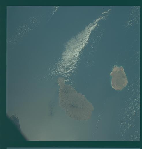
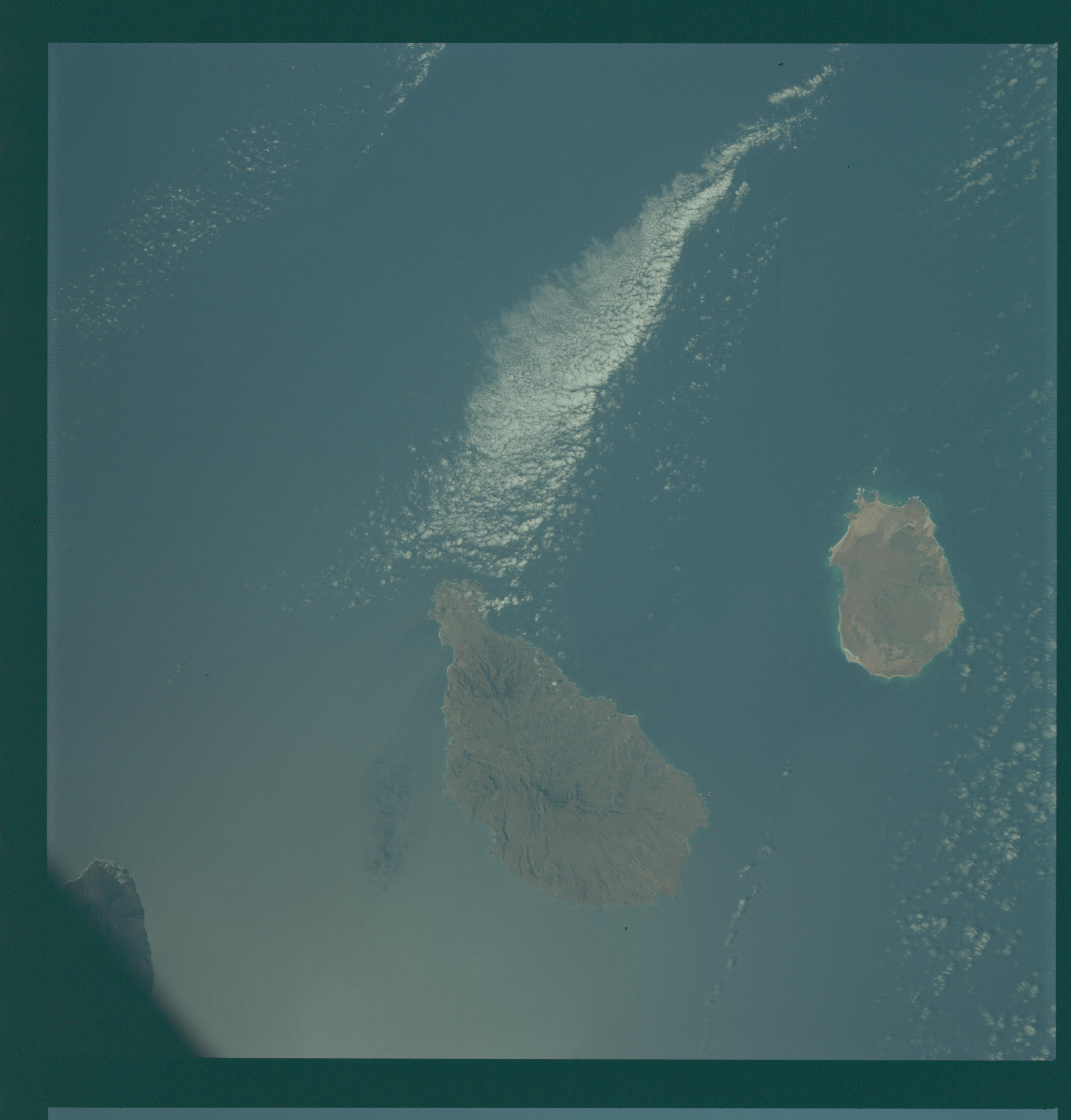
Image Caption: GEOGRAPHY/CARTOGRAPHY: CAPE VERE ISLANDS, SANTIAGO, MAIO.
GEOLOGY/HYDROLOGY: VOLCANIC ISLANDS, DENDRITIC DRAINAGE.
AGRICULTURE: SCATERED CULTIVATION ALONG THE COASTAL AREAS.
FORESTRY: BROADLEAF FOREST ON HIGHER ELEVATIONS.
METEOROLOGY: CUMULUS, STRATO-CUMULUS.
OCEANOGRAPHY: OCEAN DEPTH VARIATIONS.
GEOLOGY/HYDROLOGY: VOLCANIC ISLANDS, DENDRITIC DRAINAGE.
AGRICULTURE: SCATERED CULTIVATION ALONG THE COASTAL AREAS.
FORESTRY: BROADLEAF FOREST ON HIGHER ELEVATIONS.
METEOROLOGY: CUMULUS, STRATO-CUMULUS.
OCEANOGRAPHY: OCEAN DEPTH VARIATIONS.
