AS09-23-3480
| NASA Photo ID | AS09-23-3480 |
| Focal Length | 80mm |
| Date taken | 1969.03.10 |
| Time taken | 14:34:00 GMT |
Cloud masks available for this image:
Spacecraft nadir point:
Photo center point: 30.9° N, 88.0° W
Photo center point by machine learning:
Photo center point: 30.9° N, 88.0° W
Photo center point by machine learning:
Nadir to Photo Center:
Spacecraft Altitude: 105 nautical miles (194km)
Country or Geographic Name: | USA-ALABAMA |
Features: | MOBILE |
| Features Found Using Machine Learning: | |
Cloud Cover Percentage: | 0 (no clouds present) |
Sun Elevation Angle: | 30° |
Sun Azimuth: | ° |
Camera: | Hasselblad |
Focal Length: | 80mm |
Camera Tilt: | High Oblique |
Format: | SO368: Kodak Ektachrome MS, equivalent to 2448 Kodak Aerochrome, ASA64, thin base, fine grain |
Film Exposure: | Under Exposed |
| Additional Information | |
| Width | Height | Annotated | Cropped | Purpose | Links |
|---|---|---|---|---|---|
| 2362 pixels | 2400 pixels | No | Apollo Image Gallery | Download Image | |
| 4400 pixels | 4600 pixels | No | No | Download Image | |
| 492 pixels | 515 pixels | No | No | Download Image |
Download Packaged File
Download a Google Earth KML for this Image
View photo footprint information
Download a GeoTIFF for this photo
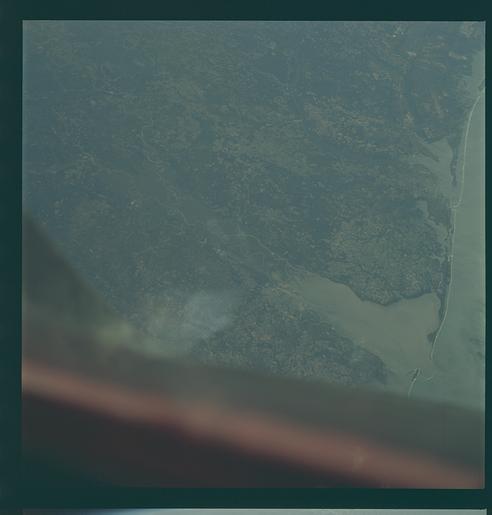
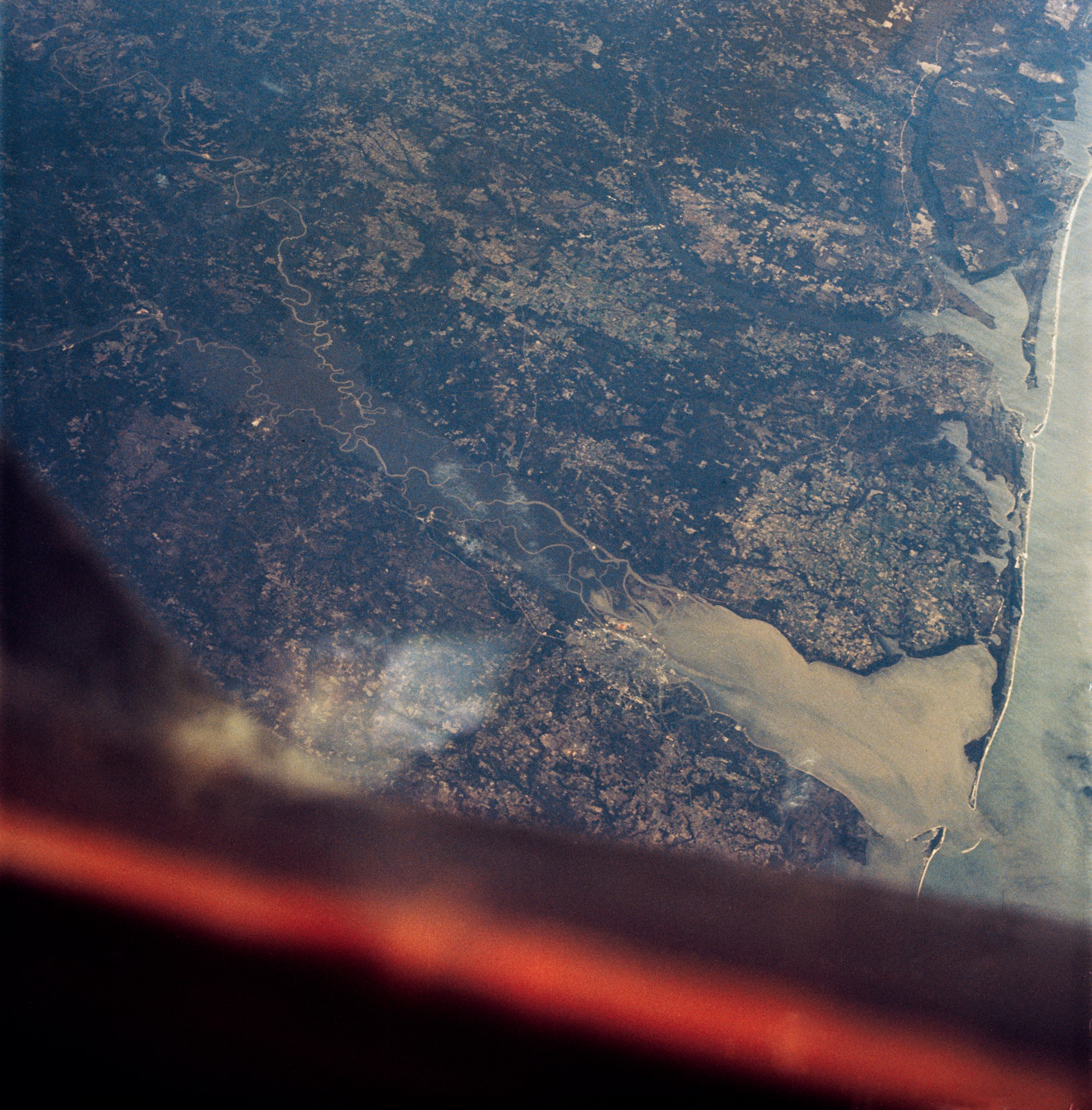
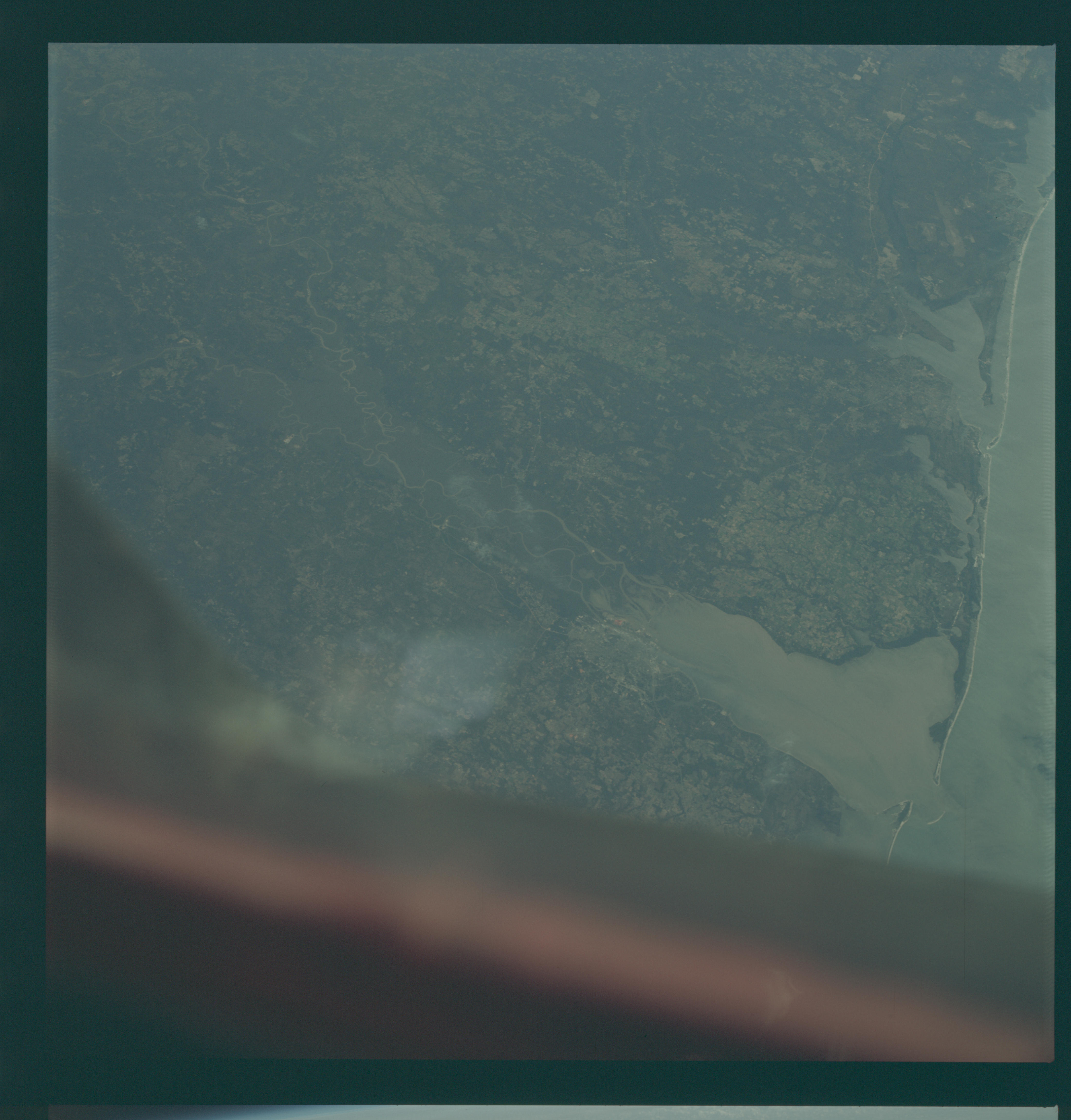
Image Caption: GEOGRAPHY/CARTOGRAPHY: ALABAMA, MOBILE, FLORIDA, PENSACOLA
GEOLOGY/HYDROLOGY: COASTAL PLAIN, TRELLIS DRAINAGE.
FORESTRY: EXTENSIVE MIXED FOREST AREAS.
AGRICULTURE: INTENSIVE CULTIVATION.
OCEANOGRAPHY: ALLUVIAL SEDIMENT DEPOSITS. DEPTH VARIATIONS.
GEOLOGY/HYDROLOGY: COASTAL PLAIN, TRELLIS DRAINAGE.
FORESTRY: EXTENSIVE MIXED FOREST AREAS.
AGRICULTURE: INTENSIVE CULTIVATION.
OCEANOGRAPHY: ALLUVIAL SEDIMENT DEPOSITS. DEPTH VARIATIONS.
