AS09-22-3465
| NASA Photo ID | AS09-22-3465 |
| Focal Length | 80mm |
| Date taken | 1969.03.09 |
| Time taken | 19:39:00 GMT |
Cloud masks available for this image:
Spacecraft nadir point:
Photo center point: 29.7° N, 94.1° W
Photo center point by machine learning:
Photo center point: 29.7° N, 94.1° W
Photo center point by machine learning:
Nadir to Photo Center:
Spacecraft Altitude: 103 nautical miles (191km)
Country or Geographic Name: | USA-TEXAS |
Features: | SABINE LAKE, GALV. BAY |
| Features Found Using Machine Learning: | |
Cloud Cover Percentage: | 15 (11-25)% |
Sun Elevation Angle: | 52° |
Sun Azimuth: | ° |
Camera: | Hasselblad |
Focal Length: | 80mm |
Camera Tilt: | High Oblique |
Format: | SO368: Kodak Ektachrome MS, equivalent to 2448 Kodak Aerochrome, ASA64, thin base, fine grain |
Film Exposure: | Normal |
| Additional Information | |
| Width | Height | Annotated | Cropped | Purpose | Links |
|---|---|---|---|---|---|
| 4400 pixels | 4600 pixels | No | No | Download Image | |
| 492 pixels | 515 pixels | No | No | Download Image |
Download Packaged File
Download a Google Earth KML for this Image
View photo footprint information
Download a GeoTIFF for this photo
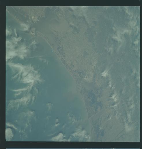
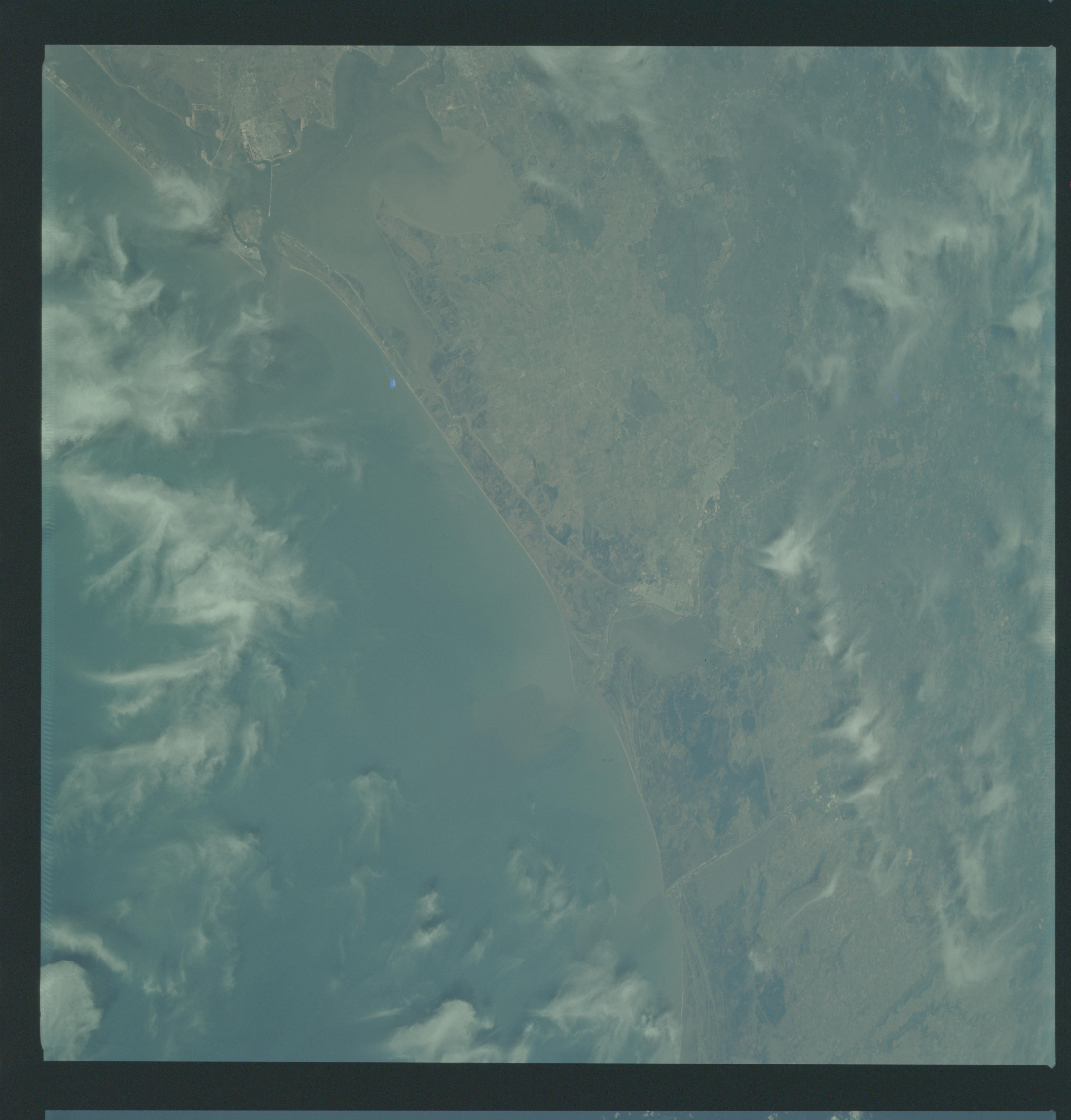
Image Caption: Southeastern Texas Coastal Plain from Texas City to Sabine Pass in 1969; excllent view of Beaumont and Port Arthur, contrast between agricultural/pasture land and timber, sediment patterns.
GEOGRAPHY/CARTOGRAPHY: UNITED STATES, TEXAS, LOUISIANA, GALVESTON AND TRINITY BAYS, SABINE AND CALCASIEU LAKES, GALVESTON, BEAUMONT, PORT ARTHUR, AND LAKE CHARLES.
GEOLOGY/HYDROLOGY: COASTAL PLAIN ANDSHORELINE OF EMERGENCE.
FORESTRY: MIXED PINE/HARDWOOD INLAND, DECIDUOUS FORESTS WITH RANGE GRASS ALONG COAST.
AGRICULTURE: HEAVY FIELD PATTERN CONCENTRATION.
METEOROLOGY: CIRRUS FIBRATUS.
OCEANOGRAPHY: GULF OF MEXICO, POSSIBLE DEPTH VARIATIONS VISIBLE IN THE NEARSHORE ZONE.
