AS09-22-3462
| NASA Photo ID | AS09-22-3462 |
| Focal Length | 80mm |
| Date taken | 1969.03.09 |
| Time taken | 19:39:00 GMT |
Cloud masks available for this image:
Spacecraft nadir point:
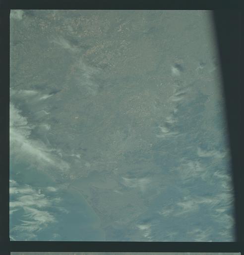
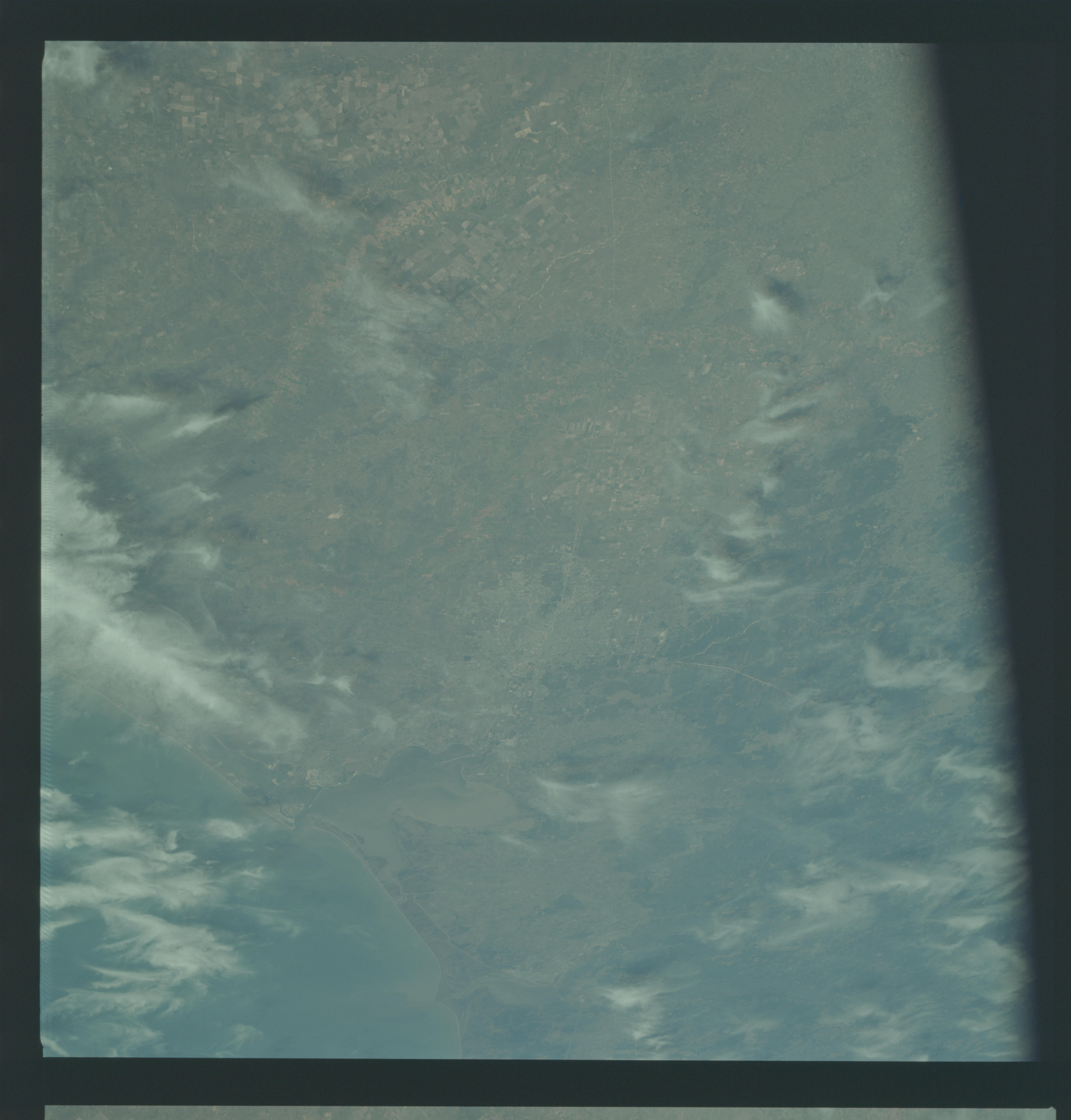
Photo center point: 29.8° N, 95.6° W
Photo center point by machine learning:
Photo center point: 29.8° N, 95.6° W
Photo center point by machine learning:
Nadir to Photo Center:
Spacecraft Altitude: 103 nautical miles (191km)
Country or Geographic Name: | USA-TEXAS |
Features: | HOUSTON, GULF COAST |
| Features Found Using Machine Learning: | |
Cloud Cover Percentage: | 10 (1-10)% |
Sun Elevation Angle: | 55° |
Sun Azimuth: | ° |
Camera: | Hasselblad |
Focal Length: | 80mm |
Camera Tilt: | High Oblique |
Format: | SO368: Kodak Ektachrome MS, equivalent to 2448 Kodak Aerochrome, ASA64, thin base, fine grain |
Film Exposure: | Normal |
| Additional Information | |
| Width | Height | Annotated | Cropped | Purpose | Links |
|---|---|---|---|---|---|
| 4400 pixels | 4600 pixels | No | No | Download Image | |
| 492 pixels | 515 pixels | No | No | Download Image |
Download Packaged File
Download a Google Earth KML for this Image
View photo footprint information
Download a GeoTIFF for this photo
Image Caption: GEOGRAPHY/CARTOGRAPHY: UNITED STATES, TEXAS, GULF OF MEXICO, HOUSTON AND GALVESTON METROPOLITAN AREAS, GALVESTON BAY, BEAUMONT.
GEOLOGY/HYDROLOGY: GULF COAST PLAIN.
FORESTRY: DECIDUOUS FORESTS, CHANGING TO MIXED PINE/HARDWOOD WITH RANGE AREAS.
AGRICULTURE: HEAVY CONCENTRATION OF FIELD PATTERNS, SOME AREAS PRESENTLY UNDER WINTER CULTIVATION.
METEOROLOGY: CIRRUS FIBRATUS.
OCEANOGRAPHY: SEDIMENTS VISIBLE IN THE NEARSHORE ZONE AND GALVESTON BAY.
