AS09-22-3341
| NASA Photo ID | AS09-22-3341 |
| Focal Length | 80mm |
| Date taken | 1969.03.__ |
| Time taken | 20:05:00 GMT |
Cloud masks available for this image:
Spacecraft nadir point:
Photo center point: 30.8° N, 97.3° W
Photo center point by machine learning:
Photo center point: 30.8° N, 97.3° W
Photo center point by machine learning:
Nadir to Photo Center:
Spacecraft Altitude: 105 nautical miles (194km)
Camera: | Hasselblad |
Focal Length: | 80mm |
Camera Tilt: | Near Vertical |
Format: | SO368: Kodak Ektachrome MS, equivalent to 2448 Kodak Aerochrome, ASA64, thin base, fine grain |
Film Exposure: | Normal |
| Additional Information | |
| Width | Height | Annotated | Cropped | Purpose | Links |
|---|---|---|---|---|---|
| 4400 pixels | 4600 pixels | No | No | Download Image | |
| 492 pixels | 515 pixels | No | No | Download Image |
Download Packaged File
Download a Google Earth KML for this Image
View photo footprint information
Download a GeoTIFF for this photo
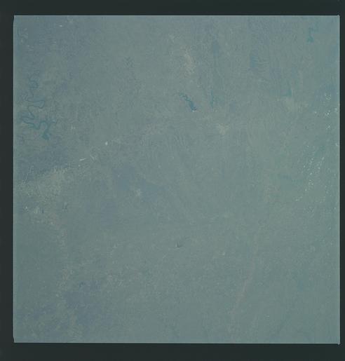
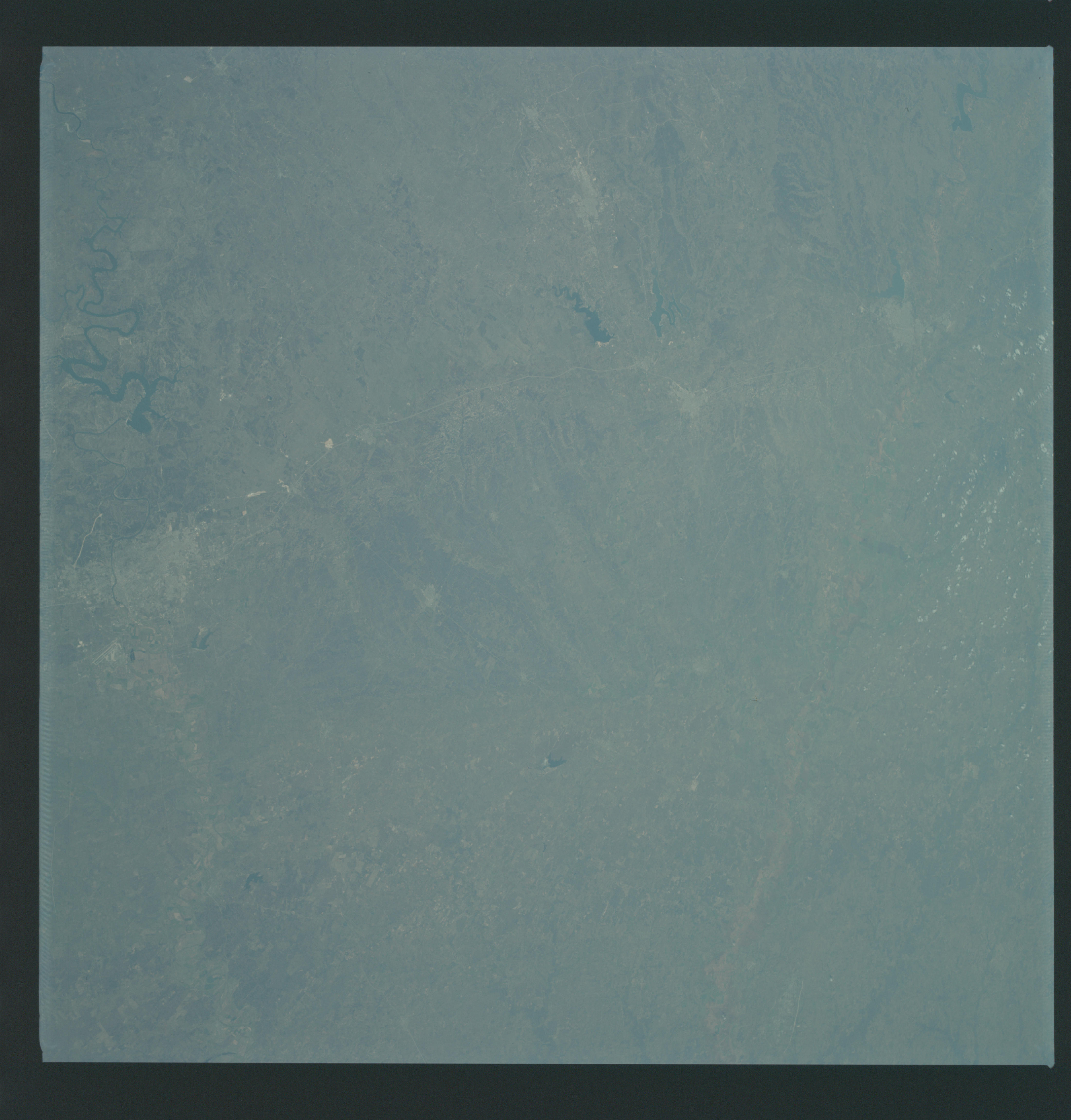
Image Caption: GEOGRAPHY/CARTOGRAPHY: UNITED STATES, TEXAS, LAKE WHITNEY, WACO, AND TRAVIS, STILLHOUSE HOLLOW AND BELTON RESERVOIRS, BRAZOS RIVER, CITIES OF WACO, TEMPLE, KILLEEN, AND AUSTIN AND BRYAN.
GEOLOGY/HYDROLOGY: BOUNDARY OF DISSECTED PLATEAU AND CENTRAL ELEVATED PLAINS.
AGRICULTURE: SCATTERED FIELD PATERNS, CONJESTED IN AREAS.
FORESTRY: NON COMMERCIAL STANDS OF MIXED CONIFER HARDWOODS.
METEOROLOGY: CIRRUS.
OCEANOGRAPHY:
Central Texas area as photographed from the Apollo 9 spacecraft during its earth-orbital mission. Interstate 35 runs from Austin (right center edge of pictures) to Waco (near bottom left corner). Also, visible are the cities of Georgetown, Taylor, Temple and Killeen. The Colorado River runs through Austin. The Brazos River flows through Waco. Lake Travis is upstream from Austin. Lake Whitney is at bottom left corner of picture. The Belton Reservoir is near bottom center. The lake formed by the dam on the Lampasas River near Belton is also clearly visible.
