AS09-22-3334
| NASA Photo ID | AS09-22-3334 |
| Focal Length | 80mm |
| Date taken | 1969.03.08 |
| Time taken | 20:04:00 GMT |
Cloud masks available for this image:
Spacecraft nadir point:
Photo center point: 31.9° N, 102.3° W
Photo center point by machine learning:
Photo center point: 31.9° N, 102.3° W
Photo center point by machine learning:
Nadir to Photo Center:
Spacecraft Altitude: 105 nautical miles (194km)
Camera: | Hasselblad |
Focal Length: | 80mm |
Camera Tilt: | High Oblique |
Format: | SO368: Kodak Ektachrome MS, equivalent to 2448 Kodak Aerochrome, ASA64, thin base, fine grain |
Film Exposure: | Normal |
| Additional Information | |
| Width | Height | Annotated | Cropped | Purpose | Links |
|---|---|---|---|---|---|
| 4400 pixels | 4600 pixels | No | No | Download Image | |
| 492 pixels | 515 pixels | No | No | Download Image |
Download Packaged File
Download a Google Earth KML for this Image
View photo footprint information
Download a GeoTIFF for this photo
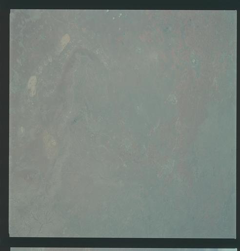
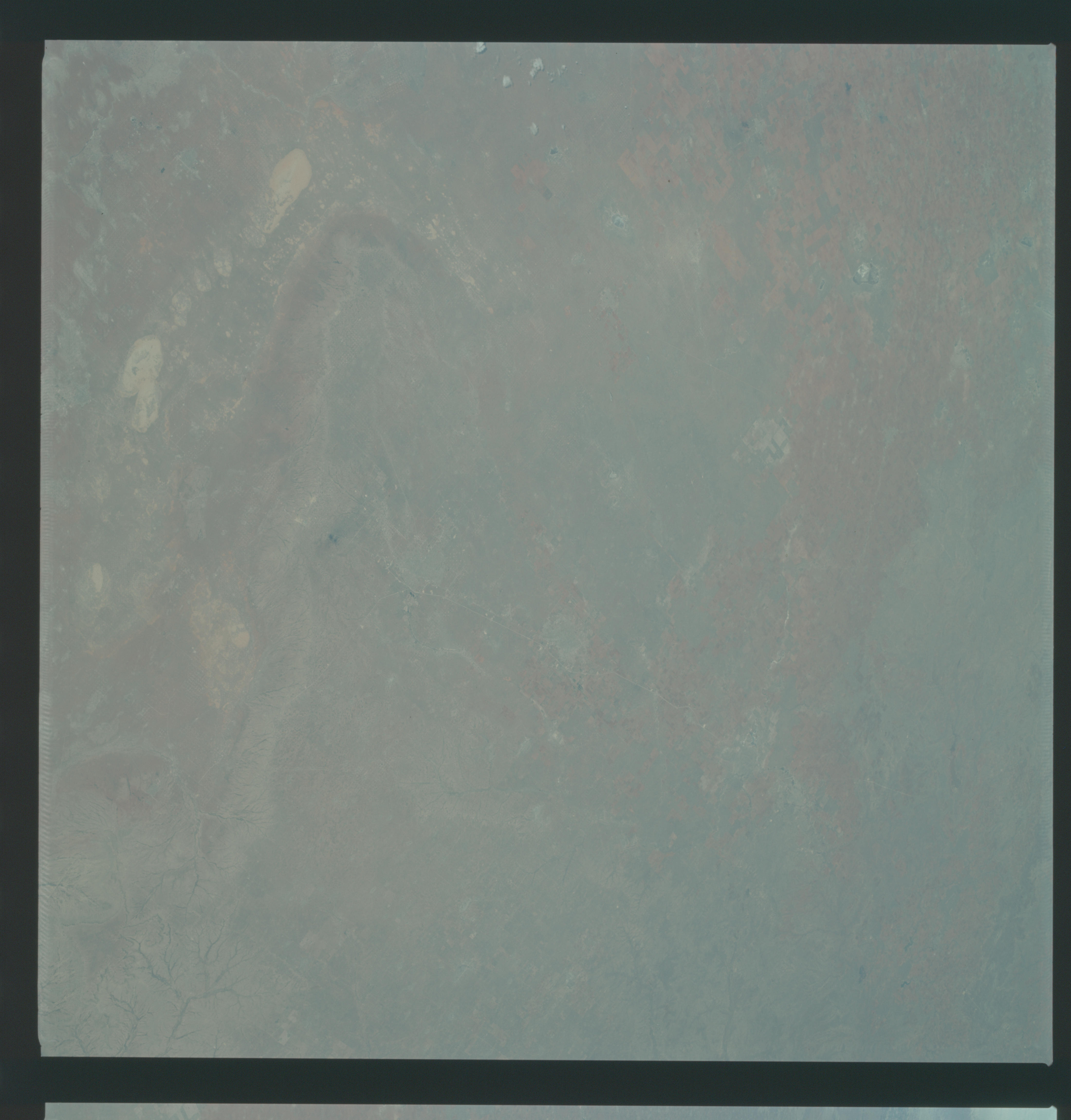
Image Caption: GEOGRAPHY/CARTOGRAPHY: UNITED STATES, TEXAS, CAPROCK ESCARPMENT, ESTACADO PLAINS, TOWNS OF ODESSA, MIDLAND, BIG SPRINGS AND LAMESA.
GEOLOGY/HYDROLOGY: CENTRAL BASIN LMESTONE PLATFORM AND PLAINS WITH NUMEROUS DRY LAKE DEPOSITS.
AGRICULTURE: VERY INTENSE CULTIVATION.
FORESTRY: SCATTERED SHRUBFORM.
OCEANOGRAPHY:
GEOLOGY/HYDROLOGY: CENTRAL BASIN LMESTONE PLATFORM AND PLAINS WITH NUMEROUS DRY LAKE DEPOSITS.
AGRICULTURE: VERY INTENSE CULTIVATION.
FORESTRY: SCATTERED SHRUBFORM.
OCEANOGRAPHY:
