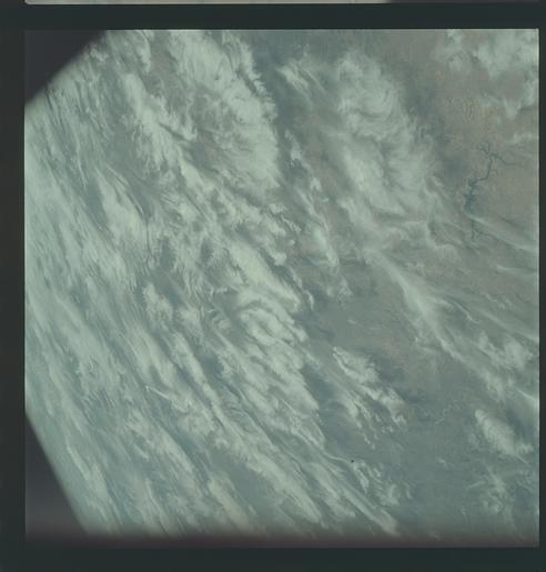
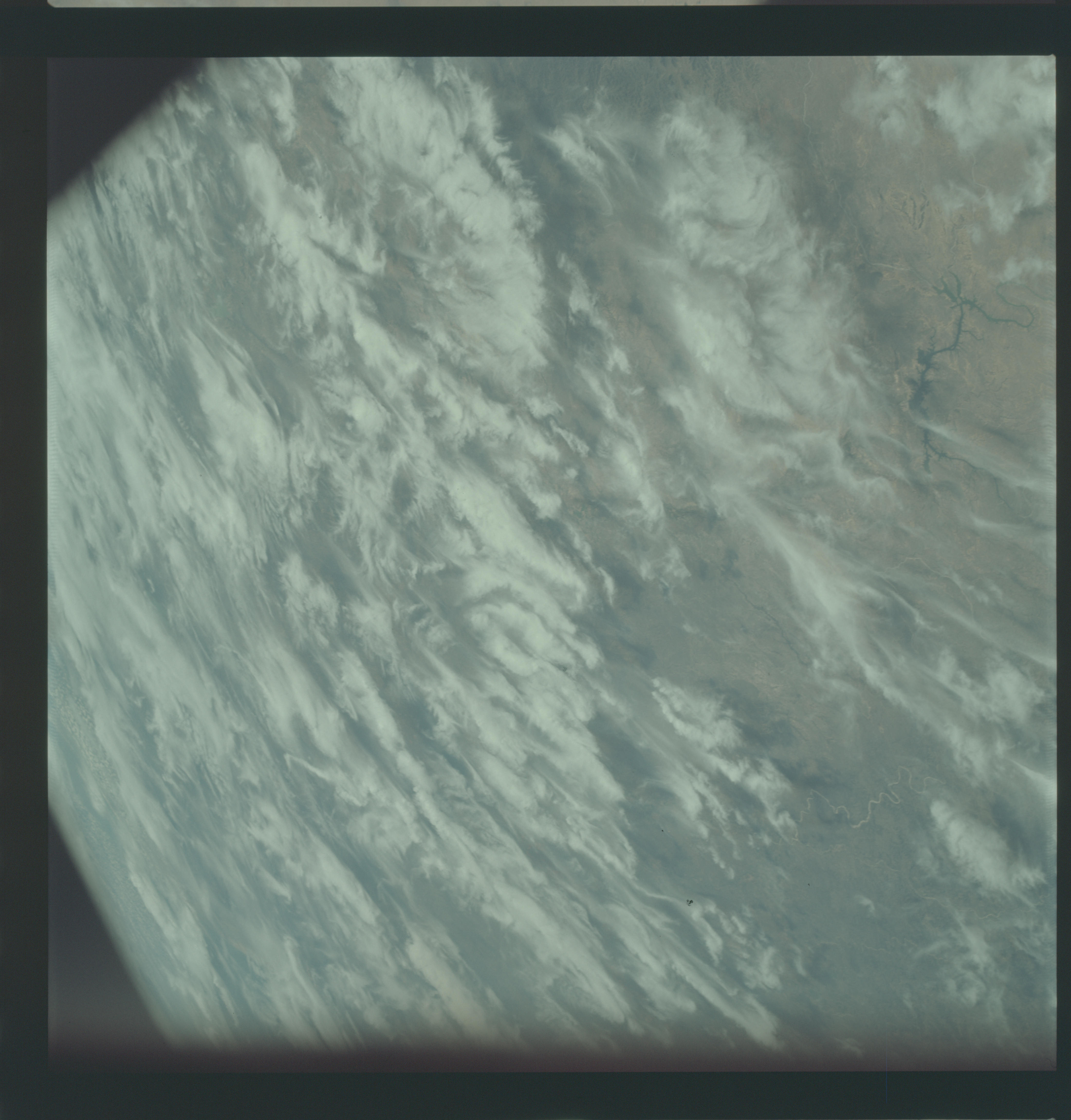
AS09-21-3309
| NASA Photo ID | AS09-21-3309 |
| Focal Length | 80mm |
| Date taken | 1969.03.09 |
| Time taken | 19:38:00 GMT |
Cloud masks available for this image:
Spacecraft nadir point:
Photo center point: 28.5° N, 100.5° W
Photo center point by machine learning:
Photo center point: 28.5° N, 100.5° W
Photo center point by machine learning:
Nadir to Photo Center:
Spacecraft Altitude: 103 nautical miles (191km)
Country or Geographic Name: | MEXICO |
Features: | RIO GRANDE, DEVIL'S RIVER |
| Features Found Using Machine Learning: | |
Cloud Cover Percentage: | 65 (51-75)% |
Sun Elevation Angle: | 50° |
Sun Azimuth: | ° |
Camera: | Hasselblad |
Focal Length: | 80mm |
Camera Tilt: | High Oblique |
Format: | SO368: Kodak Ektachrome MS, equivalent to 2448 Kodak Aerochrome, ASA64, thin base, fine grain |
Film Exposure: | Normal |
| Additional Information | |
| Width | Height | Annotated | Cropped | Purpose | Links |
|---|---|---|---|---|---|
| 4400 pixels | 4600 pixels | No | No | Download Image | |
| 492 pixels | 515 pixels | No | No | Download Image |
Download Packaged File
Download a Google Earth KML for this Image
View photo footprint information
Download a GeoTIFF for this photo
Image Caption: GEOGRAPHY/CARTOGRAPHY: UNITED STATES, MEXICO, TEXAS, NEW MEXICO, RIO GRANDE VALLEY, PECOS RIVER, TOWN OF DEL RIO.
GEOLOGY/HYDROLOGY: CENTRAL LOWLAND PLAINS.
FORESTRY: SCATTERED SHRUBFORMS
METEOROLOGY: CIRRUS SPISSATUS.
OCEANOGRAPHY:
GEOLOGY/HYDROLOGY: CENTRAL LOWLAND PLAINS.
FORESTRY: SCATTERED SHRUBFORMS
METEOROLOGY: CIRRUS SPISSATUS.
OCEANOGRAPHY:
